17610 Zullo Dr Poolesville, MD 20837
Estimated Value: $1,003,935 - $1,054,000
--
Bed
1
Bath
3,926
Sq Ft
$264/Sq Ft
Est. Value
About This Home
This home is located at 17610 Zullo Dr, Poolesville, MD 20837 and is currently estimated at $1,036,484, approximately $264 per square foot. 17610 Zullo Dr is a home located in Montgomery County with nearby schools including Poolesville Elementary School, John H. Poole Middle School, and Poolesville High School.
Ownership History
Date
Name
Owned For
Owner Type
Purchase Details
Closed on
Sep 30, 2013
Sold by
Winchester Homes Inc
Bought by
Hiscock Michael R and Sproat Christine T
Current Estimated Value
Home Financials for this Owner
Home Financials are based on the most recent Mortgage that was taken out on this home.
Original Mortgage
$592,058
Outstanding Balance
$445,404
Interest Rate
4.53%
Mortgage Type
New Conventional
Estimated Equity
$591,080
Create a Home Valuation Report for This Property
The Home Valuation Report is an in-depth analysis detailing your home's value as well as a comparison with similar homes in the area
Home Values in the Area
Average Home Value in this Area
Purchase History
| Date | Buyer | Sale Price | Title Company |
|---|---|---|---|
| Hiscock Michael R | $657,842 | None Available |
Source: Public Records
Mortgage History
| Date | Status | Borrower | Loan Amount |
|---|---|---|---|
| Open | Hiscock Michael R | $592,058 |
Source: Public Records
Tax History Compared to Growth
Tax History
| Year | Tax Paid | Tax Assessment Tax Assessment Total Assessment is a certain percentage of the fair market value that is determined by local assessors to be the total taxable value of land and additions on the property. | Land | Improvement |
|---|---|---|---|---|
| 2025 | $10,510 | $867,000 | -- | -- |
| 2024 | $10,510 | $818,300 | $199,800 | $618,500 |
| 2023 | $9,332 | $789,333 | $0 | $0 |
| 2022 | $8,652 | $760,367 | $0 | $0 |
| 2021 | $7,999 | $731,400 | $199,800 | $531,600 |
| 2020 | $7,999 | $706,900 | $0 | $0 |
| 2019 | $7,730 | $682,400 | $0 | $0 |
| 2018 | $7,452 | $657,900 | $199,800 | $458,100 |
| 2017 | $7,344 | $640,133 | $0 | $0 |
| 2016 | -- | $622,367 | $0 | $0 |
| 2015 | $1,414 | $604,600 | $0 | $0 |
| 2014 | $1,414 | $583,400 | $0 | $0 |
Source: Public Records
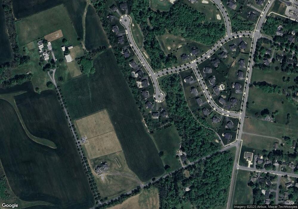
Map
Nearby Homes
- 19916 Westerly Ave
- 17125 Hoskinson Rd
- 19724 Wootton Ave
- 17500 Hoskinson Rd
- The Veranda Plan at Ferry Crossing
- Breezeway Plan at Ferry Crossing
- The Terrace Plan at Ferry Crossing
- 19110 Way
- 17403 Fyffe Rd
- 17914 Hickman St
- 19509 Fisher Ave Unit (LOT 2)
- 19507 Fisher Ave Unit (LOT 3)
- 19505 Fisher Ave Unit (LOT 1)
- 0 Beallsville Rd Unit MDMC2136882
- 19225 Walters Ave
- 21142 Westerly Rd
- 18524 Beallsville Rd
- 19332 Cissel Manor Dr
- The Rodin Plan at Estates at Hartz Farm
- The Hamner II Plan at Estates at Hartz Farm
- 17608 Zullo Dr
- 17612 Zullo Dr
- 17606 Zullo Dr
- 17614 Zullo Dr
- 17616 Zullo Dr
- 17618 Zullo Dr
- 20208 Bupp Rd
- 20206 Bupp Rd
- 20204 Bupp Rd
- 17620 Zullo Dr
- 20111 Spurrier Ave
- 20301 Westerly Rd
- 20202 Bupp Rd
- 20207 Bupp Rd
- 17622 Zullo Dr
- 20205 Bupp Rd
- 20109 Spurrier Ave
- 20203 Bupp Rd
- 20106 Spurrier Ave
- 17624 Zullo Dr