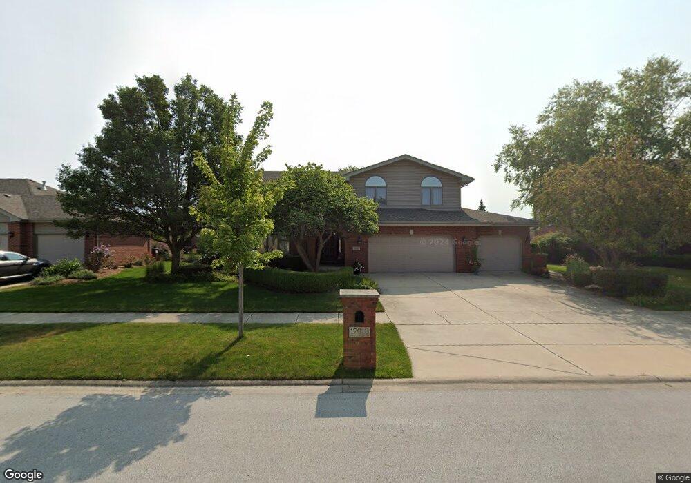
17613 Westbridge Rd Tinley Park, IL 60487
Central Tinley Park NeighborhoodEstimated Value: $572,762 - $650,000
4
Beds
3
Baths
3,417
Sq Ft
$178/Sq Ft
Est. Value
About This Home
This home is located at 17613 Westbridge Rd, Tinley Park, IL 60487 and is currently estimated at $607,941, approximately $177 per square foot. 17613 Westbridge Rd is a home located in Cook County with nearby schools including Millennium Elementary School, Prairie View Middle School, and Victor J Andrew High School.
Ownership History
Date
Name
Owned For
Owner Type
Purchase Details
Closed on
Jan 26, 2004
Sold by
Standard Bank & Trust Co
Bought by
Mikula Paul J and Mikula Elizabeth A
Current Estimated Value
Home Financials for this Owner
Home Financials are based on the most recent Mortgage that was taken out on this home.
Original Mortgage
$300,000
Outstanding Balance
$139,525
Interest Rate
5.71%
Mortgage Type
Unknown
Estimated Equity
$468,416
Create a Home Valuation Report for This Property
The Home Valuation Report is an in-depth analysis detailing your home's value as well as a comparison with similar homes in the area
Home Values in the Area
Average Home Value in this Area
Purchase History
| Date | Buyer | Sale Price | Title Company |
|---|---|---|---|
| Mikula Paul J | $361,500 | Cti |
Source: Public Records
Mortgage History
| Date | Status | Borrower | Loan Amount |
|---|---|---|---|
| Open | Mikula Paul J | $300,000 |
Source: Public Records
Tax History Compared to Growth
Tax History
| Year | Tax Paid | Tax Assessment Tax Assessment Total Assessment is a certain percentage of the fair market value that is determined by local assessors to be the total taxable value of land and additions on the property. | Land | Improvement |
|---|---|---|---|---|
| 2024 | $12,573 | $48,599 | $6,843 | $41,756 |
| 2023 | $11,660 | $51,001 | $6,843 | $44,158 |
| 2022 | $11,660 | $36,126 | $5,950 | $30,176 |
| 2021 | $11,316 | $36,126 | $5,950 | $30,176 |
| 2020 | $11,098 | $36,126 | $5,950 | $30,176 |
| 2019 | $10,997 | $37,338 | $5,355 | $31,983 |
| 2018 | $10,760 | $37,338 | $5,355 | $31,983 |
| 2017 | $11,665 | $41,135 | $5,355 | $35,780 |
| 2016 | $11,489 | $37,091 | $4,760 | $32,331 |
| 2015 | $11,325 | $37,091 | $4,760 | $32,331 |
| 2014 | $11,246 | $37,091 | $4,760 | $32,331 |
| 2013 | $10,179 | $36,333 | $4,760 | $31,573 |
Source: Public Records
Map
Nearby Homes
- 17631 Dover Ct
- Eden Plan at Radcliffe Place
- Fremont Plan at Radcliffe Place
- Danbury Plan at Radcliffe Place
- Calysta Plan at Radcliffe Place
- Briarcliffe Plan at Radcliffe Place
- Amberwood Plan at Radcliffe Place
- 8530 Radcliffe Rd
- 17324 Humber Ln
- 8543 Carriage Ln
- 17533 Pecan Ln
- 17800 Iroquois Trace
- 8548 Bethany Ln
- 8416 Stratford Dr Unit 8416
- 8423 Stratford Dr Unit 8423
- 17230 Shetland Dr
- 17908 Iroquois Trace
- 17155 Kamp Ct Unit 9
- 17105 Rochelle Ln
- 18261 Kirby Dr Unit 2918261
- 17619 Westbridge Rd
- 17607 Westbridge Rd
- 17612 Webster Ct
- 17625 Westbridge Rd
- 17601 Westbridge Rd
- 17624 Bishop Rd
- 17612 Westbridge Rd
- 17618 Westbridge Rd
- 17618 Webster Ct
- 17700 Bishop Rd
- 17606 Westbridge Rd
- 17624 Westbridge Rd Unit 4
- 17606 Webster Ct
- 17701 Westbridge Rd Unit 4
- 17561 Westbridge Rd
- 17600 Westbridge Rd
- 17700 Westbridge Rd
- 17637 Dover Ct
- 17600 Webster Ct
- 17707 Westbridge Rd