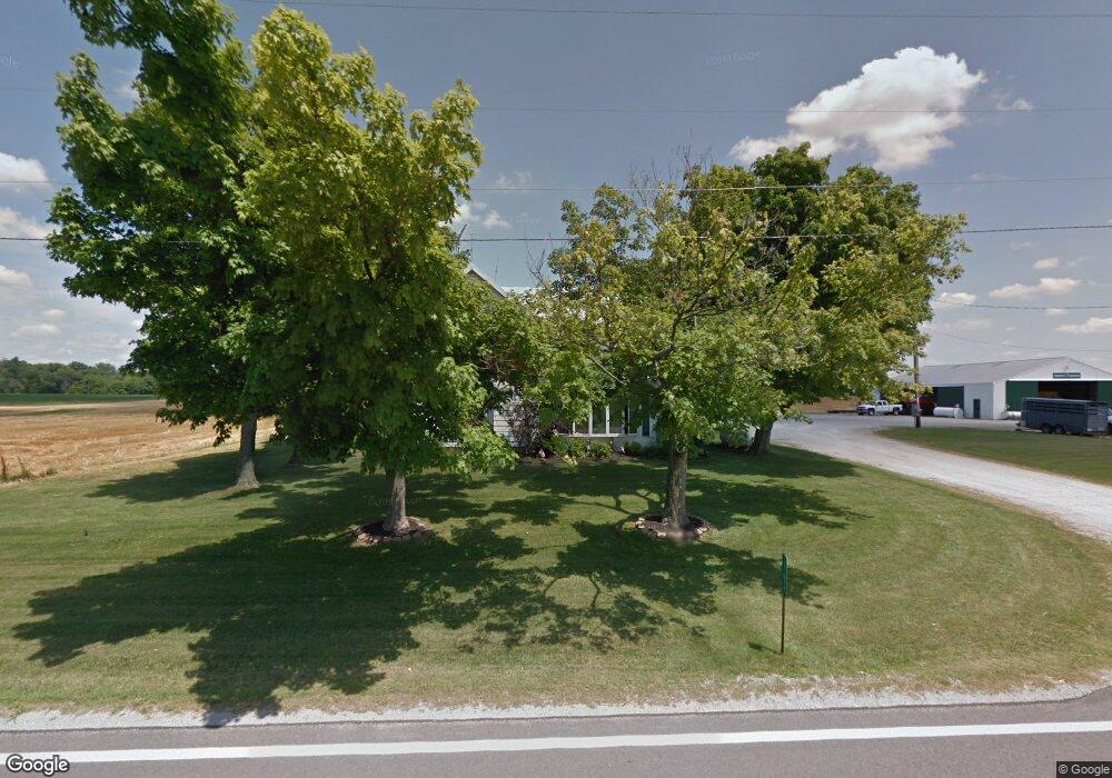
17617 State Route 81 Forest, OH 45843
Estimated Value: $215,000 - $313,000
4
Beds
1
Bath
2,282
Sq Ft
$115/Sq Ft
Est. Value
About This Home
This home is located at 17617 State Route 81, Forest, OH 45843 and is currently estimated at $263,099, approximately $115 per square foot. 17617 State Route 81 is a home located in Hardin County with nearby schools including Riverdale Middle School and Riverdale High School.
Ownership History
Date
Name
Owned For
Owner Type
Purchase Details
Closed on
Oct 18, 2023
Sold by
Boose June A
Bought by
June A Boose Irrevocable Trust and Linke
Current Estimated Value
Purchase Details
Closed on
Nov 30, 2016
Sold by
Boose Randy E and Boose June A
Bought by
Boose Randy E and Boose June A
Purchase Details
Closed on
Nov 12, 2013
Sold by
Waggoner William E and Waggoner Ruth E
Bought by
Boose Randy E and Boose June A
Home Financials for this Owner
Home Financials are based on the most recent Mortgage that was taken out on this home.
Original Mortgage
$300,000
Interest Rate
4.24%
Mortgage Type
Future Advance Clause Open End Mortgage
Create a Home Valuation Report for This Property
The Home Valuation Report is an in-depth analysis detailing your home's value as well as a comparison with similar homes in the area
Purchase History
| Date | Buyer | Sale Price | Title Company |
|---|---|---|---|
| June A Boose Irrevocable Trust | -- | None Listed On Document | |
| Boose Randy E | -- | None Available | |
| Boose Randy E | $400,000 | None Available |
Source: Public Records
Mortgage History
| Date | Status | Borrower | Loan Amount |
|---|---|---|---|
| Previous Owner | Boose Randy E | $300,000 |
Source: Public Records
Tax History
| Year | Tax Paid | Tax Assessment Tax Assessment Total Assessment is a certain percentage of the fair market value that is determined by local assessors to be the total taxable value of land and additions on the property. | Land | Improvement |
|---|---|---|---|---|
| 2024 | $2,218 | $73,410 | $8,630 | $64,780 |
| 2023 | $2,261 | $73,410 | $8,630 | $64,780 |
| 2022 | $1,780 | $51,150 | $6,440 | $44,710 |
| 2021 | $1,937 | $51,150 | $6,440 | $44,710 |
| 2020 | $1,942 | $51,150 | $6,440 | $44,710 |
| 2019 | $1,716 | $46,150 | $6,230 | $39,920 |
| 2018 | $1,638 | $46,150 | $6,230 | $39,920 |
| 2017 | $1,424 | $46,150 | $6,230 | $39,920 |
| 2016 | $1,193 | $34,210 | $5,700 | $28,510 |
| 2015 | $1,130 | $34,210 | $5,700 | $28,510 |
| 2014 | $1,128 | $34,210 | $5,700 | $28,510 |
| 2013 | $1,126 | $34,210 | $5,700 | $28,510 |
Source: Public Records
Map
Nearby Homes
- 3065 County Road 205
- 18660 County Road 20
- 617 W Gage St
- 511 S Davis St
- 0 S Davis St
- 412 S Patterson St
- 0 S Patterson St
- 406 Wells Rd
- 402 E Lima St
- 0 Cr 215 Unit 11594771
- 0 Cr 215 Unit 11594600
- 0 Cr 215 Unit 25370311
- 0 Cr 215 Unit 11598074
- 5091 County Road 175
- 4771 County Road 159
- 15047 Ohio 37
- 21426 County Road 17
- 101 S Buckeye St
- 1568 State Route 68
- 12488 Township Road 20
- 17584 State Route 81
- 17524 Ohio 81
- 17524 Sr 81
- 17524 State Route 81
- 17408 State Route 81
- 17841 State Route 81
- 17182 State Route 81
- 1980 Township Road 183
- 1976 Township Road 183
- 2015 Twp Rd
- 18272 State Route 81
- 18325 State Route 81
- 2866 Township Road 185
- 1891 Township Road 183
- 359 W Main St
- 1772 Township Road 183
- 1861 Township Road 195
Your Personal Tour Guide
Ask me questions while you tour the home.