17617 W Croft Rd Evansville, WI 53536
Estimated Value: $442,000 - $507,740
--
Bed
--
Bath
--
Sq Ft
15.1
Acres
About This Home
This home is located at 17617 W Croft Rd, Evansville, WI 53536 and is currently estimated at $474,870. 17617 W Croft Rd is a home located in Rock County with nearby schools including Levi Leonard Elementary School, Theodore Robinson Intermediate School, and J.C. McKenna Middle School.
Ownership History
Date
Name
Owned For
Owner Type
Purchase Details
Closed on
May 11, 2007
Sold by
Baertschi Steven E and Baertschi Shirley A
Bought by
Hauri Wesley T and Hauri Sandra L
Current Estimated Value
Home Financials for this Owner
Home Financials are based on the most recent Mortgage that was taken out on this home.
Original Mortgage
$244,000
Outstanding Balance
$148,661
Interest Rate
6.2%
Mortgage Type
New Conventional
Estimated Equity
$326,210
Create a Home Valuation Report for This Property
The Home Valuation Report is an in-depth analysis detailing your home's value as well as a comparison with similar homes in the area
Home Values in the Area
Average Home Value in this Area
Purchase History
| Date | Buyer | Sale Price | Title Company |
|---|---|---|---|
| Hauri Wesley T | $305,000 | None Available |
Source: Public Records
Mortgage History
| Date | Status | Borrower | Loan Amount |
|---|---|---|---|
| Open | Hauri Wesley T | $244,000 |
Source: Public Records
Tax History Compared to Growth
Tax History
| Year | Tax Paid | Tax Assessment Tax Assessment Total Assessment is a certain percentage of the fair market value that is determined by local assessors to be the total taxable value of land and additions on the property. | Land | Improvement |
|---|---|---|---|---|
| 2024 | $5,059 | $351,200 | $61,800 | $289,400 |
| 2023 | $4,861 | $350,900 | $61,500 | $289,400 |
| 2022 | $5,033 | $349,300 | $59,900 | $289,400 |
| 2021 | $4,941 | $223,400 | $41,200 | $182,200 |
| 2020 | $4,989 | $223,400 | $41,200 | $182,200 |
| 2019 | $4,772 | $223,400 | $41,200 | $182,200 |
| 2018 | $4,587 | $223,700 | $41,500 | $182,200 |
| 2017 | $4,327 | $223,900 | $41,700 | $182,200 |
| 2016 | $4,512 | $223,800 | $41,600 | $182,200 |
| 2015 | $4,247 | $212,900 | $41,500 | $171,400 |
| 2014 | $4,314 | $212,900 | $41,500 | $171,400 |
| 2013 | $4,314 | $213,000 | $41,600 | $171,400 |
Source: Public Records
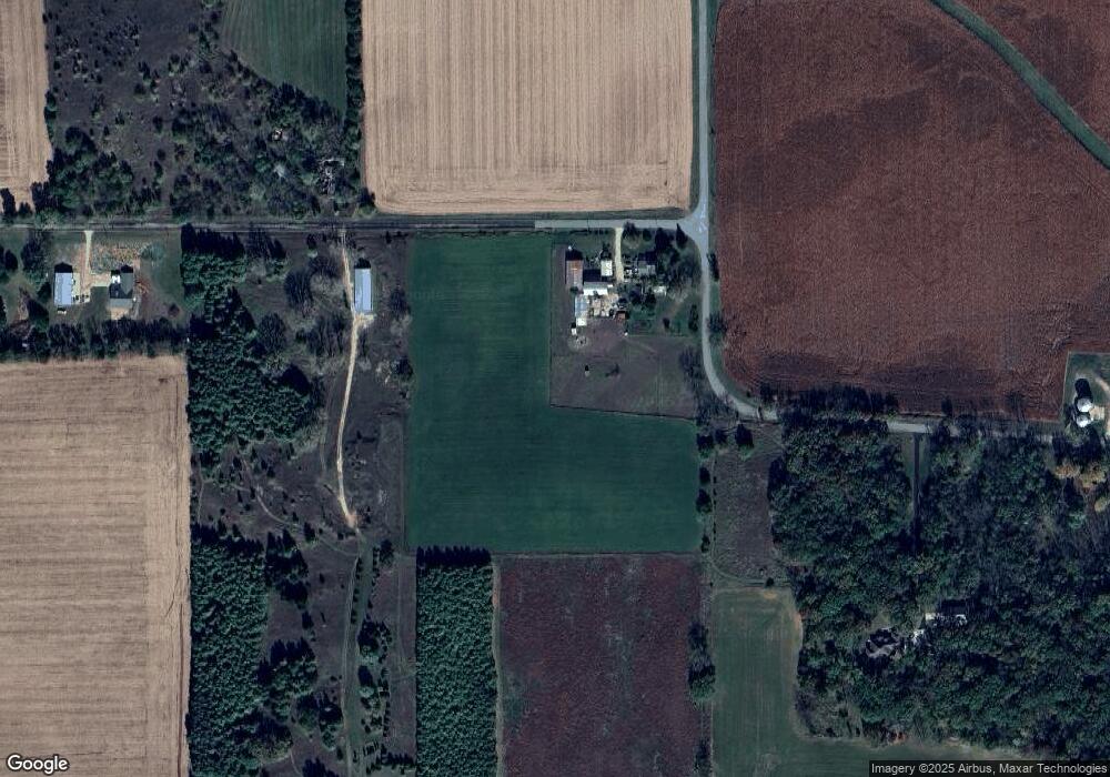
Map
Nearby Homes
- 527 Seventh St
- 166 S Eight St Unit 3
- 118 Windmill Ridge Rd
- 110 Windmill Ridge Rd
- 665 Hillside Ct
- 601 Porter Rd
- 680 W Main St
- 637 Garfield Ave
- 481 Badger Dr
- 111 Prentice St
- 265 N 4th St
- 5427 W Fair St
- 261 N 4th St
- 231 N 4th St
- 408 S 1st St
- 351 S Madison St
- 318 Almeron St
- 200 Maple St
- N6220 Blarney Stone Dr Unit 53
- Lot 85 Blarney Stone Dr
- 17941 W Croft Rd
- 17237 W Croft Rd
- 17748 W Milbrant Rd
- 6241 N Finn Rd
- 18047 W Croft Rd
- 17431 W Milbrant Rd
- 17411 W Milbrant Rd
- 17737 W Milbrant Rd
- 17109 W Croft Rd
- 17938 W Milbrant Rd
- 6037 N Finn Rd
- 17725 W Milbrant Rd
- 7113 N Pleasant Prairie Rd
- 17019 W Milbrant Rd
- 17445 W Porter Rd
- 18111 W Milbrant Rd
- 18109 W Milbrant Rd
- 16819 W Milbrant Rd
- 6403 N Davis Rd
- 16819 W Milbrandt Rd