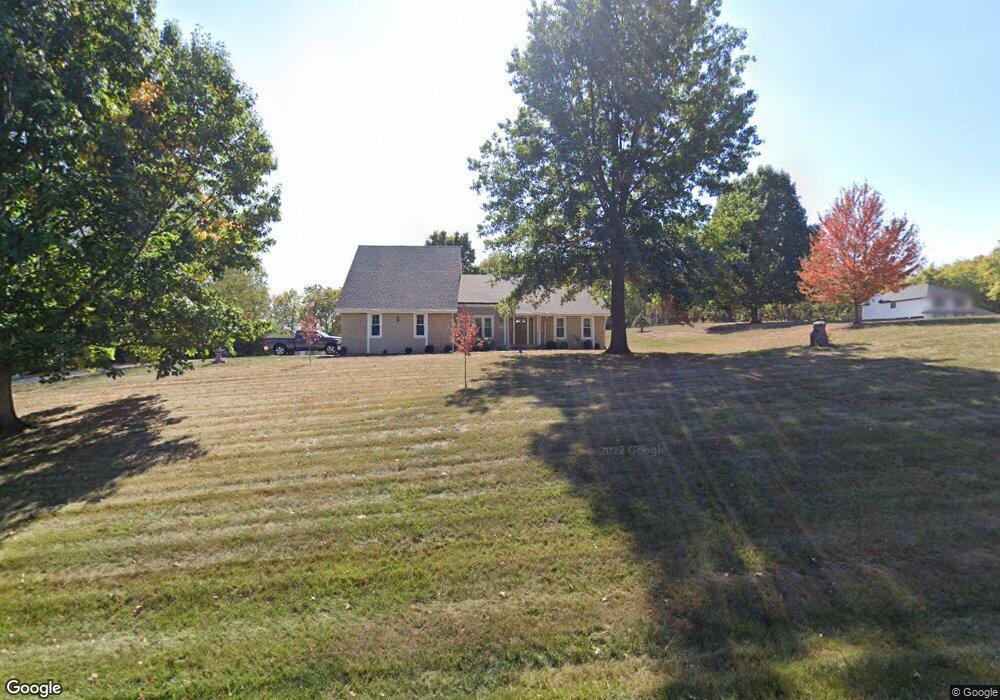
17619 Riverbend Rd Kearney, MO 64060
Estimated Value: $475,000 - $519,847
3
Beds
3
Baths
2,057
Sq Ft
$242/Sq Ft
Est. Value
About This Home
This home is located at 17619 Riverbend Rd, Kearney, MO 64060 and is currently estimated at $496,962, approximately $241 per square foot. 17619 Riverbend Rd is a home located in Clay County with nearby schools including Kearney Junior High School and Kearney High School.
Ownership History
Date
Name
Owned For
Owner Type
Purchase Details
Closed on
Jul 24, 2006
Sold by
Sirva Relocation Credit Llc
Bought by
Scobee Carl K and Scobee Lititia L
Current Estimated Value
Home Financials for this Owner
Home Financials are based on the most recent Mortgage that was taken out on this home.
Original Mortgage
$186,000
Outstanding Balance
$111,214
Interest Rate
6.78%
Mortgage Type
Purchase Money Mortgage
Estimated Equity
$385,748
Purchase Details
Closed on
Aug 15, 1997
Sold by
Minton Randy
Bought by
Sparrow Charles Keith and Sparrow Melody
Home Financials for this Owner
Home Financials are based on the most recent Mortgage that was taken out on this home.
Original Mortgage
$142,400
Interest Rate
7.46%
Create a Home Valuation Report for This Property
The Home Valuation Report is an in-depth analysis detailing your home's value as well as a comparison with similar homes in the area
Home Values in the Area
Average Home Value in this Area
Purchase History
| Date | Buyer | Sale Price | Title Company |
|---|---|---|---|
| Scobee Carl K | -- | None Available | |
| Sirva Relocation Credit Llc | -- | None Available | |
| Sparrow Charles Keith | -- | Ati Title Company |
Source: Public Records
Mortgage History
| Date | Status | Borrower | Loan Amount |
|---|---|---|---|
| Open | Sirva Relocation Credit Llc | $186,000 | |
| Closed | Scobee Carl K | $186,000 | |
| Previous Owner | Sparrow Charles Keith | $142,400 |
Source: Public Records
Tax History Compared to Growth
Tax History
| Year | Tax Paid | Tax Assessment Tax Assessment Total Assessment is a certain percentage of the fair market value that is determined by local assessors to be the total taxable value of land and additions on the property. | Land | Improvement |
|---|---|---|---|---|
| 2025 | $3,414 | $67,070 | -- | -- |
| 2024 | $3,414 | $53,960 | -- | -- |
| 2023 | $3,401 | $53,960 | $0 | $0 |
| 2022 | $3,191 | $49,020 | $0 | $0 |
| 2021 | $3,122 | $49,020 | $7,980 | $41,040 |
| 2020 | $3,106 | $44,310 | $0 | $0 |
| 2019 | $3,089 | $44,310 | $0 | $0 |
| 2018 | $3,035 | $42,070 | $0 | $0 |
| 2017 | $2,998 | $42,070 | $7,980 | $34,090 |
| 2016 | $2,998 | $42,070 | $7,980 | $34,090 |
| 2015 | $2,998 | $42,070 | $7,980 | $34,090 |
| 2014 | $2,839 | $39,620 | $7,980 | $31,640 |
Source: Public Records
Map
Nearby Homes
- 2341 Fishing Ln
- 17220 River Dr
- 2333 Fishing Ln
- 2309 Fishing Ln
- 16816 NE 136th St
- 2304 Foxtail Dr
- 2211 Prairie Creek Dr
- 2212 Blue Bell Terrace
- 417 Wildflower Ln
- 2119 Greenfield Point
- 2121 Greenfield Point
- 2123 Greenfield Point
- 2125 Greenfield Point
- 2129 Greenfield Point Unit 20
- 210 E 22nd St
- 18410 NE 130th St
- 2059 Foxtail Point
- 2101 Crooked Creek Dr
- Redbud Plan at The Meadows At Greenfield - Meadows At Greenfield
- Spruce Plan at The Meadows At Greenfield - Meadows At Greenfield
- 17607 Riverbend Rd
- 17805 NE 135th St
- 17616 River Dr
- 17417 Riverbend Rd
- 17620 NE 134th St
- 17820 Riverbend Rd
- 13526 River Dr
- 17810 Riverbend Rd
- 17606 NE 134th St
- 17415 Riverbend Rd
- 17601 River Dr
- 17614 River Dr
- 13415 State Route 33
- 17600 NE 134th St
- 17413 River Dr
- 17409 NE 136th St
- 17820 NE 134th St
- 17402 NE 134th Terrace
- 17426 River Dr
- 18006 NE 135th St