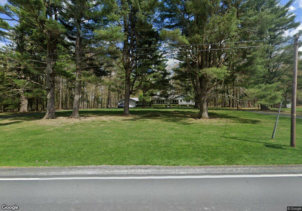
1762 Route 590 Hawley, PA 18428
Estimated Value: $429,652 - $586,000
3
Beds
3
Baths
2,056
Sq Ft
$247/Sq Ft
Est. Value
About This Home
This home is located at 1762 Route 590, Hawley, PA 18428 and is currently estimated at $507,826, approximately $246 per square foot. 1762 Route 590 is a home located in Pike County with nearby schools including Wallenpaupack Area High School.
Ownership History
Date
Name
Owned For
Owner Type
Purchase Details
Closed on
Nov 8, 2019
Sold by
Guereiri Carol and Fishman Martin
Bought by
Campagna Anthony F
Current Estimated Value
Home Financials for this Owner
Home Financials are based on the most recent Mortgage that was taken out on this home.
Original Mortgage
$255,000
Outstanding Balance
$223,885
Interest Rate
3.5%
Mortgage Type
New Conventional
Estimated Equity
$283,941
Create a Home Valuation Report for This Property
The Home Valuation Report is an in-depth analysis detailing your home's value as well as a comparison with similar homes in the area
Home Values in the Area
Average Home Value in this Area
Purchase History
| Date | Buyer | Sale Price | Title Company |
|---|---|---|---|
| Campagna Anthony F | $319,000 | None Available |
Source: Public Records
Mortgage History
| Date | Status | Borrower | Loan Amount |
|---|---|---|---|
| Open | Campagna Anthony F | $255,000 |
Source: Public Records
Tax History Compared to Growth
Tax History
| Year | Tax Paid | Tax Assessment Tax Assessment Total Assessment is a certain percentage of the fair market value that is determined by local assessors to be the total taxable value of land and additions on the property. | Land | Improvement |
|---|---|---|---|---|
| 2025 | $4,073 | $34,220 | $3,070 | $31,150 |
| 2024 | $4,073 | $34,220 | $3,070 | $31,150 |
| 2023 | $3,928 | $34,220 | $3,070 | $31,150 |
| 2022 | $3,843 | $34,220 | $3,070 | $31,150 |
| 2021 | $3,774 | $34,220 | $3,070 | $31,150 |
| 2020 | $3,774 | $34,220 | $3,070 | $31,150 |
| 2019 | $3,661 | $34,220 | $3,070 | $31,150 |
| 2018 | $3,605 | $34,220 | $3,070 | $31,150 |
| 2017 | $3,500 | $34,220 | $3,070 | $31,150 |
| 2016 | $0 | $34,220 | $3,070 | $31,150 |
| 2014 | -- | $34,220 | $3,070 | $31,150 |
Source: Public Records
Map
Nearby Homes
- 0 Waterview Dr
- 173 Water View Dr
- 106 Lilypad Ln
- 46 Hawks Nest Dr
- 066 Hawks Nest Dr
- 141 Hawks Nest Dr
- 843+844 Tink Wig Dr
- 797 Tink Wig Dr
- Lot 155 Tink Wig Dr
- Lot 201 Tink Wig Dr
- 319 Tink Wig Dr
- 23 Ledgecrest Rd
- 2.84 Acres Butchs Rd
- Lot 109 Oriole Ct
- 274 Tink Wig Dr
- 0 Tinkwig Dr
- 155 Tink Wig Dr
- 155 Tink Wig Dr
- 314 Ridgewood Ln
- 353 Westwood Ln
- 1762 Pennsylvania 590
- 120 Rt 590 E
- 1766 Route 590
- 1766 Pennsylvania 590
- 1758 Pennsylvania 590
- 1758 Route 590
- 1770 Route 590
- 1765 Route 590
- 1761 Route 590
- 1771 Route 590
- 1751 Route 590
- 1776 Pennsylvania 590
- 1775 Route 590
- 105 Tall Pines Ln
- 1757 Route 590
- 107 Tall Pines Ln
- Lot 2 Route 590
- 212 Fawnwood Ct
- 1777 Route 590
- 46 Woodloch Dr