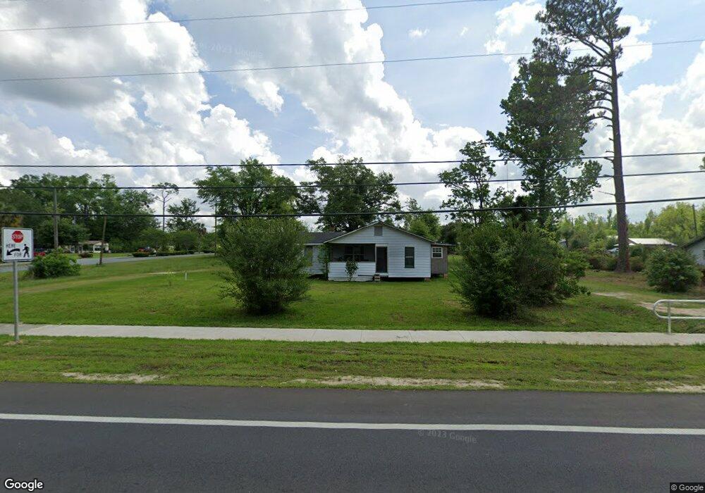
17621 NE Pear St Blountstown, FL 32424
Estimated Value: $63,853 - $115,000
--
Bed
1
Bath
982
Sq Ft
$95/Sq Ft
Est. Value
About This Home
This home is located at 17621 NE Pear St, Blountstown, FL 32424 and is currently estimated at $93,713, approximately $95 per square foot. 17621 NE Pear St is a home located in Calhoun County.
Ownership History
Date
Name
Owned For
Owner Type
Purchase Details
Closed on
Aug 16, 2023
Sold by
Glaze Cristle G
Bought by
Marshall And Cami Masai Family Trust and Masai
Current Estimated Value
Purchase Details
Closed on
Jul 15, 2008
Sold by
Alexander James W and Dunn Cynthia S
Bought by
Taylor Cedric O and Taylor Cristle G
Purchase Details
Closed on
May 22, 2002
Sold by
Alexander James W and Dunn Cynthia S
Bought by
Taylor Cedric O and Taylor Cristle G
Create a Home Valuation Report for This Property
The Home Valuation Report is an in-depth analysis detailing your home's value as well as a comparison with similar homes in the area
Home Values in the Area
Average Home Value in this Area
Purchase History
| Date | Buyer | Sale Price | Title Company |
|---|---|---|---|
| Marshall And Cami Masai Family Trust | $65,000 | None Listed On Document | |
| Taylor Cedric O | -- | None Available | |
| Taylor Cedric O | $35,000 | None Available |
Source: Public Records
Mortgage History
| Date | Status | Borrower | Loan Amount |
|---|---|---|---|
| Closed | Taylor Cedric O | $0 |
Source: Public Records
Tax History Compared to Growth
Tax History
| Year | Tax Paid | Tax Assessment Tax Assessment Total Assessment is a certain percentage of the fair market value that is determined by local assessors to be the total taxable value of land and additions on the property. | Land | Improvement |
|---|---|---|---|---|
| 2024 | $288 | $17,310 | $17,310 | -- |
| 2023 | $94 | $30,653 | $0 | $0 |
| 2022 | $81 | $29,760 | $0 | $0 |
| 2021 | $67 | $28,893 | $0 | $0 |
| 2020 | $61 | $28,494 | $0 | $0 |
| 2019 | $50 | $27,853 | $17,310 | $10,543 |
| 2018 | $183 | $35,269 | $17,310 | $17,959 |
| 2017 | $183 | $35,195 | $0 | $0 |
| 2016 | $188 | $35,350 | $0 | $0 |
| 2015 | -- | $35,388 | $0 | $0 |
| 2014 | -- | $35,388 | $0 | $0 |
Source: Public Records
Map
Nearby Homes
- 17517 NE Teresa Terrace St
- 25541 Pennington Ave
- 20163 Marie Ave
- 20158 NW Evans Ave
- XX2 Tupelo Ave
- 20777 SE Fannin Ave
- 20077 W Central Ave
- 16619 SW Gaskin St
- TBD Florida 71
- 16590 Gaskin St
- TBD Sr 20 W and 10th St
- 16500 SE Pear St
- 20766 NE Pine St
- 18496 NE Live Oak Ln
- 19974 SW Sherry Ave
- 517 Gadsden St
- 20994 SE Martin Luther King Ave
- 0 Florida 71 Unit Lots 46 & 47 657795
- 16302 SW Mimosa St
- 19048 Florida 69
- 11577 Florida 69
- TBD Florida 69
- 17665 NE Pear St
- 20745 NE Fuller Warren Dr
- 17689 NE Pear St
- 17549 NE Pear St
- 20762 N East Kelley Ave
- 20757 NE Kelley Ave
- 20636 NE Lambert St
- 20778 NE Kelley Ave
- 17700 NE Pear St
- 20622 Lambert Ave
- 20622 NE Lambert St
- 20617 NE Hentz Ave
- 20580 NE Marie Ave
- 17515 NE Pear St
- 20706 NE Baggett Ave
- 20608 NE Lambert St
- 20795 NE Kelley Ave