17621 W 917 Rd Park Hill, OK 74451
Estimated Value: $115,583 - $184,000
2
Beds
1
Bath
992
Sq Ft
$162/Sq Ft
Est. Value
About This Home
This home is located at 17621 W 917 Rd, Park Hill, OK 74451 and is currently estimated at $160,646, approximately $161 per square foot. 17621 W 917 Rd is a home with nearby schools including Heritage Elementary School, Tahlequah Middle School, and Tahlequah High School.
Ownership History
Date
Name
Owned For
Owner Type
Purchase Details
Closed on
Dec 9, 2020
Sold by
Shamel Donald Ray
Bought by
Shamel Donald Ray and Shamel Walter James
Current Estimated Value
Purchase Details
Closed on
Dec 20, 2004
Sold by
Owen and Marsha Cochran
Bought by
Donald and Yvonne Shamel
Purchase Details
Closed on
Dec 21, 1999
Sold by
Loren S Morgan
Bought by
Owen and Marcia Cochran
Purchase Details
Closed on
Nov 10, 1997
Sold by
William Albert Silver
Bought by
Loren S Morgan
Purchase Details
Closed on
Feb 5, 1996
Sold by
Thomas T Bennett
Bought by
William Albert Silver
Purchase Details
Closed on
Sep 22, 1995
Sold by
William and Frances Silver
Bought by
Thomas T Bennett
Create a Home Valuation Report for This Property
The Home Valuation Report is an in-depth analysis detailing your home's value as well as a comparison with similar homes in the area
Home Values in the Area
Average Home Value in this Area
Purchase History
| Date | Buyer | Sale Price | Title Company |
|---|---|---|---|
| Shamel Donald Ray | -- | None Available | |
| Donald | $30,000 | -- | |
| Owen | $20,000 | -- | |
| Loren S Morgan | $3,500 | -- | |
| William Albert Silver | $5,000 | -- | |
| Thomas T Bennett | $16,000 | -- |
Source: Public Records
Tax History Compared to Growth
Tax History
| Year | Tax Paid | Tax Assessment Tax Assessment Total Assessment is a certain percentage of the fair market value that is determined by local assessors to be the total taxable value of land and additions on the property. | Land | Improvement |
|---|---|---|---|---|
| 2024 | $630 | $6,650 | $2,508 | $4,142 |
| 2023 | $630 | $6,334 | $2,387 | $3,947 |
| 2022 | $560 | $6,032 | $2,271 | $3,761 |
| 2021 | $535 | $5,745 | $2,161 | $3,584 |
| 2020 | $543 | $5,724 | $2,028 | $3,696 |
| 2019 | $512 | $5,452 | $1,932 | $3,520 |
| 2018 | $494 | $5,192 | $1,840 | $3,352 |
| 2017 | $469 | $4,944 | $1,752 | $3,192 |
| 2016 | $450 | $4,710 | $1,636 | $3,074 |
| 2015 | $402 | $4,485 | $1,214 | $3,271 |
| 2014 | $402 | $4,272 | $1,156 | $3,116 |
Source: Public Records
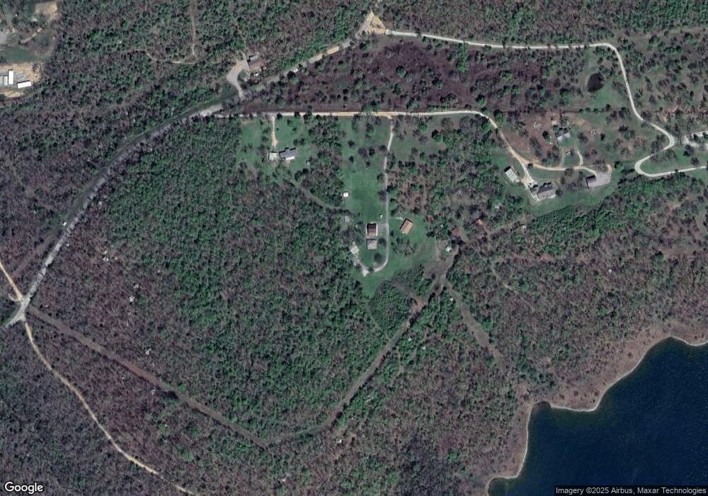
Map
Nearby Homes
- 0 Pigeon Rd Unit 1144296
- 000 S 511 Rd
- 18205 W 904 Rd
- 32548 S Cookson Bluff Rd
- 0 Spring Hill Ln Unit 2542920
- 18475 W Lakewood Dr
- 35160 S 523 Rd
- 32354 S Indian Rd
- 18697 W 903 Rd
- 0 Red Fox Rd Unit 2044202
- 33966 S Plymouth Rock Rd
- 35249 S 489 Rd
- 15761 W 931 Rd
- 18341 W Woodhaven Dr
- 34245 S 527 Rd
- 19983 W Chicken Creek Rd
- 36001 S Dogwood W
- 17987 W Sugar Hollow Rd
- 000 W Big Rock Rd Unit Lot 7
- 000 W Big Rock Rd Unit Lot 6
- 33985 S Walker
- 17699 W 920 Rd
- 33818 S Pigeon Rd
- 0 917 Rd Unit 1723895
- 0 917 Rd Unit 1723894
- 17700 W 920 Rd
- 17799 W 917 Rd
- 17790 W 917 Rd
- 0 Pigeon Rd Unit 924444
- 0 Pigeon Rd Unit 1632057
- 0 Pigeon Rd Unit 1709764
- 756 S Pigeon Rd
- 33987 S Pigeon Rd
- 33551 S Pigeon Rd
- 34044 S Pigeon Rd
- 34420 S 502 Rd
- 33531 S Pigeon Rd
- 0 S Pigeon Rd
- 32 S Pigeon Rd
- 34801 S Pigeon Rd