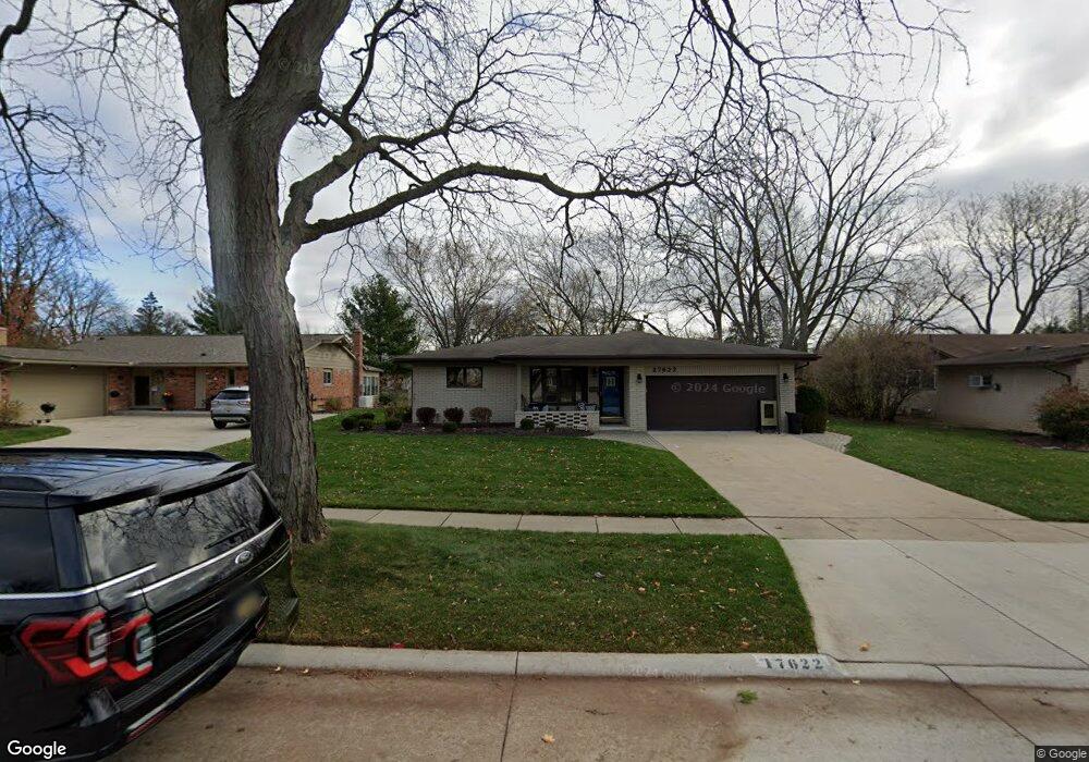
17622 Westbrook Dr Unit Bldg-Unit Livonia, MI 48152
Estimated Value: $381,000 - $454,000
3
Beds
2
Baths
1,584
Sq Ft
$254/Sq Ft
Est. Value
About This Home
This home is located at 17622 Westbrook Dr Unit Bldg-Unit, Livonia, MI 48152 and is currently estimated at $402,178, approximately $253 per square foot. 17622 Westbrook Dr Unit Bldg-Unit is a home located in Wayne County with nearby schools including Hoover Elementary School, Riley Upper Elementary School, and Holmes Middle School.
Ownership History
Date
Name
Owned For
Owner Type
Purchase Details
Closed on
Feb 23, 2018
Sold by
Thomson John C and Thomson Carolyn L
Bought by
Hardin William L
Current Estimated Value
Home Financials for this Owner
Home Financials are based on the most recent Mortgage that was taken out on this home.
Original Mortgage
$246,661
Outstanding Balance
$208,214
Interest Rate
3.86%
Mortgage Type
Adjustable Rate Mortgage/ARM
Estimated Equity
$193,964
Create a Home Valuation Report for This Property
The Home Valuation Report is an in-depth analysis detailing your home's value as well as a comparison with similar homes in the area
Home Values in the Area
Average Home Value in this Area
Purchase History
| Date | Buyer | Sale Price | Title Company |
|---|---|---|---|
| Hardin William L | $269,624 | Embassy Title Agency Inc |
Source: Public Records
Mortgage History
| Date | Status | Borrower | Loan Amount |
|---|---|---|---|
| Open | Hardin William L | $246,661 |
Source: Public Records
Tax History Compared to Growth
Tax History
| Year | Tax Paid | Tax Assessment Tax Assessment Total Assessment is a certain percentage of the fair market value that is determined by local assessors to be the total taxable value of land and additions on the property. | Land | Improvement |
|---|---|---|---|---|
| 2025 | $3,166 | $174,000 | $0 | $0 |
| 2024 | $3,166 | $159,400 | $0 | $0 |
| 2023 | $3,020 | $149,500 | $0 | $0 |
| 2022 | $5,304 | $134,200 | $0 | $0 |
| 2021 | $5,151 | $129,700 | $0 | $0 |
| 2019 | $4,959 | $122,100 | $0 | $0 |
| 2018 | $1,873 | $112,100 | $0 | $0 |
| 2017 | $2,705 | $106,700 | $0 | $0 |
| 2016 | $3,467 | $106,300 | $0 | $0 |
| 2015 | $8,393 | $97,570 | $0 | $0 |
| 2012 | -- | $79,410 | $24,000 | $55,410 |
Source: Public Records
Map
Nearby Homes
- 35700 Bennett St
- 18529 Westbrook Dr
- 35330 Lancashire Ct
- 16508 Fairway St
- 16588 Ronnie Ln
- 16400 Levan Rd
- 37484 N Laurel Park Dr
- 36697 7 Mile Rd
- 34827 Wood St
- 37800 N Laurel Park Dr
- 37361 Bristol St
- 18661 Laurel Dr
- 18237 University Park Dr
- 18035 University Park Dr Unit 56
- 18339 University Park Dr
- 18323 University Park Dr
- 19060 Laurel Dr
- 18411 University Park Dr
- 18149 University Park Dr
- 18795 Blue Skies St
- 17622 Westbrook Dr
- 17590 Westbrook Dr
- 17654 Westbrook Dr Unit Bldg-Unit
- 17654 Westbrook Dr
- 17621 Parklane St
- 17686 Westbrook Dr
- 17589 Parklane St
- 17653 Parklane St
- 17621 Westbrook Dr
- 17653 Westbrook Dr
- 17589 Westbrook Dr
- 17558 Westbrook Dr
- 17685 Parklane St
- 17718 Westbrook Dr
- 17685 Westbrook Dr
- 17557 Parklane St
- 17557 Westbrook Dr
- 17717 Parklane St
- 17526 Westbrook Dr
- 17717 Westbrook Dr