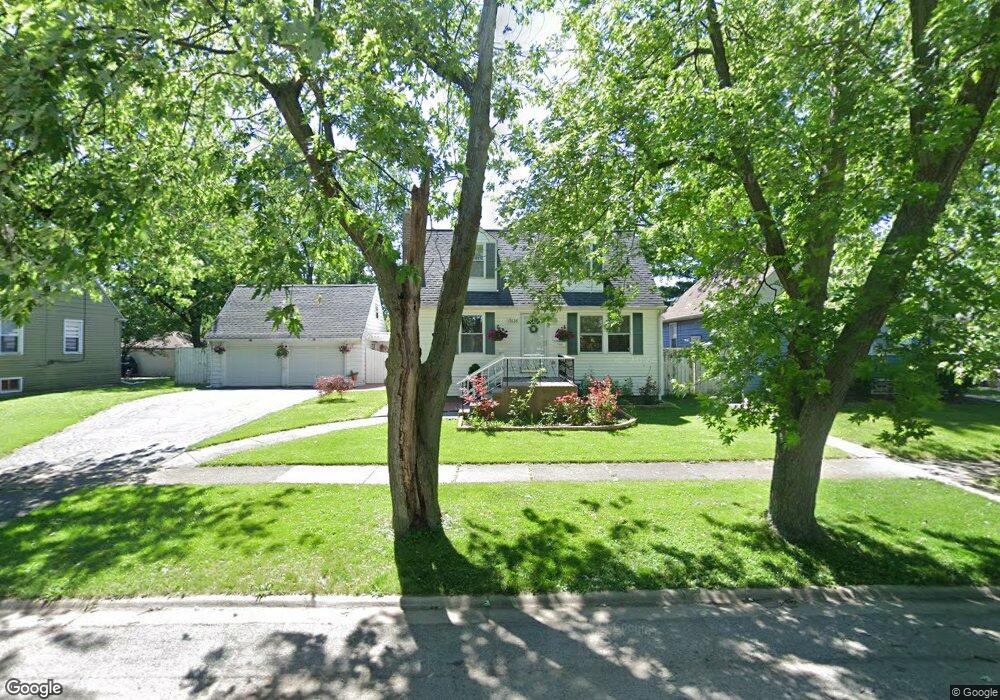
17626 Community St Lansing, IL 60438
Estimated Value: $178,681 - $235,000
2
Beds
1
Bath
1,387
Sq Ft
$153/Sq Ft
Est. Value
About This Home
This home is located at 17626 Community St, Lansing, IL 60438 and is currently estimated at $212,420, approximately $153 per square foot. 17626 Community St is a home located in Cook County with nearby schools including Coolidge Elementary School, Memorial Jr High School, and Thornton Fractnl So High School.
Ownership History
Date
Name
Owned For
Owner Type
Purchase Details
Closed on
May 19, 2011
Sold by
Vernon Linda
Bought by
The Secretary Of Housing & Urban Develop
Current Estimated Value
Purchase Details
Closed on
Jun 5, 2003
Sold by
Oflynn John B and Oflynn June Hoffman
Bought by
Vernon Linda
Home Financials for this Owner
Home Financials are based on the most recent Mortgage that was taken out on this home.
Original Mortgage
$127,179
Interest Rate
5.62%
Mortgage Type
FHA
Create a Home Valuation Report for This Property
The Home Valuation Report is an in-depth analysis detailing your home's value as well as a comparison with similar homes in the area
Home Values in the Area
Average Home Value in this Area
Purchase History
| Date | Buyer | Sale Price | Title Company |
|---|---|---|---|
| The Secretary Of Housing & Urban Develop | -- | None Available | |
| Vernon Linda | $129,000 | Multiple |
Source: Public Records
Mortgage History
| Date | Status | Borrower | Loan Amount |
|---|---|---|---|
| Previous Owner | Vernon Linda | $127,179 |
Source: Public Records
Tax History
| Year | Tax Paid | Tax Assessment Tax Assessment Total Assessment is a certain percentage of the fair market value that is determined by local assessors to be the total taxable value of land and additions on the property. | Land | Improvement |
|---|---|---|---|---|
| 2025 | $4,782 | $13,200 | $2,333 | $10,867 |
| 2024 | $4,782 | $13,200 | $2,333 | $10,867 |
| 2023 | $3,875 | $13,200 | $2,333 | $10,867 |
| 2022 | $3,875 | $9,383 | $2,059 | $7,324 |
| 2021 | $3,826 | $9,382 | $2,058 | $7,324 |
| 2020 | $3,684 | $9,382 | $2,058 | $7,324 |
| 2019 | $3,351 | $9,315 | $1,921 | $7,394 |
| 2018 | $3,285 | $9,315 | $1,921 | $7,394 |
| 2017 | $3,351 | $9,315 | $1,921 | $7,394 |
| 2016 | $3,960 | $9,740 | $1,784 | $7,956 |
| 2015 | $3,616 | $9,740 | $1,784 | $7,956 |
| 2014 | $3,593 | $9,740 | $1,784 | $7,956 |
| 2013 | $3,726 | $10,905 | $1,784 | $9,121 |
Source: Public Records
Map
Nearby Homes
- 17552 Roy St
- 17519 Community St
- 17617 Burnham Ave
- 17518 Roy St
- 3238 178th St
- 17714 Burnham Ave
- 17702 Bernadine St
- 17423 Walter St
- 17831 Walter St
- 17855 Walter St
- 17335 Community St
- 17926 Roy St
- 3409 173rd Place
- 17925 Walter St
- 17526 Shirley Dr
- 17318 Walter St
- 17303 Roy St
- 17946 Roy St
- 3634 178th St
- 3425 Bernice Ave
- 17626 Community St
- 17622 Community St
- 17622 Community St Unit y St.
- 17632 Community St
- 17618 Community St
- 17638 Community St
- 17614 Community St
- 17621 Roy St
- 17627 Roy St
- 17633 Roy St
- 17644 Community St
- 17617 Roy St
- 17625 Community St
- 17621 Community St
- 17629 Community St
- 17639 Roy St
- 17617 Community St
- 17607 Roy St
- 17633 Community St
- 17648 Community St
Your Personal Tour Guide
Ask me questions while you tour the home.