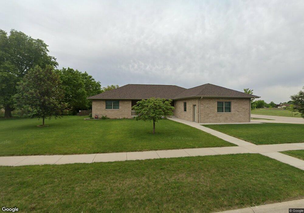
1763 Carol Anne Dr Morris, IL 60450
Estimated Value: $423,000 - $496,615
Studio
--
Bath
2,154
Sq Ft
$214/Sq Ft
Est. Value
About This Home
This home is located at 1763 Carol Anne Dr, Morris, IL 60450 and is currently estimated at $459,904, approximately $213 per square foot. 1763 Carol Anne Dr is a home with nearby schools including Saratoga Elementary School, Morris Community High School, and Immaculate Conception School.
Ownership History
Date
Name
Owned For
Owner Type
Purchase Details
Closed on
Aug 22, 2017
Sold by
Grundy Area Vocational Center
Bought by
Stone Betty A
Current Estimated Value
Home Financials for this Owner
Home Financials are based on the most recent Mortgage that was taken out on this home.
Original Mortgage
$223,200
Outstanding Balance
$185,390
Interest Rate
3.88%
Mortgage Type
New Conventional
Estimated Equity
$274,514
Create a Home Valuation Report for This Property
The Home Valuation Report is an in-depth analysis detailing your home's value as well as a comparison with similar homes in the area
Purchase History
| Date | Buyer | Sale Price | Title Company |
|---|---|---|---|
| Stone Betty A | -- | -- |
Source: Public Records
Mortgage History
| Date | Status | Borrower | Loan Amount |
|---|---|---|---|
| Open | Stone Betty A | $223,200 |
Source: Public Records
Tax History
| Year | Tax Paid | Tax Assessment Tax Assessment Total Assessment is a certain percentage of the fair market value that is determined by local assessors to be the total taxable value of land and additions on the property. | Land | Improvement |
|---|---|---|---|---|
| 2024 | $11,646 | $160,474 | $18,974 | $141,500 |
| 2023 | $10,947 | $150,850 | $17,836 | $133,014 |
| 2022 | $10,298 | $141,896 | $16,777 | $125,119 |
| 2021 | $0 | $132,837 | $15,706 | $117,131 |
| 2020 | $0 | $125,318 | $14,817 | $110,501 |
| 2019 | $0 | $125,318 | $14,817 | $110,501 |
| 2018 | $0 | $125,674 | $14,859 | $110,815 |
| 2017 | $0 | $0 | $0 | $0 |
| 2016 | $0 | $0 | $0 | $0 |
| 2015 | -- | $0 | $0 | $0 |
| 2014 | -- | $0 | $0 | $0 |
| 2013 | -- | $0 | $0 | $0 |
Source: Public Records
Map
Nearby Homes
- 1605-1607 Schubert Dr
- 1539 W Us Route 6
- 1519 Carol Anne Dr
- 0 Anne Ln
- 1466 Mollie Dr
- 1932 Mountain Rd
- 374 Edgewater Dr
- Lot 3,4,5,7,8 Edgewater Dr
- Lot 79.2 Periwinkle Ct
- Lot 79.1 Periwinkle Ct
- 1659 Dupont Ave
- 0000 Lakewood Dr
- 1180 Lakewood Dr
- 2666 Beyer Rd
- 2099 Kingtree Dr
- 2114 Kingtree Dr
- Lot 58 Timber Edge Dr
- 2697 Creekside Ln
- 1455 Lake Dr
- 1028 Oakwood Dr
- 1759 Carol Anne Dr
- 1743 Carol Anne Dr
- 1734 Carol Anne Dr
- 1722 Carol Anne Dr
- 1731 Carol Anne Dr
- 1718 W Anne Ln
- 1703 W Anne Ln
- 1717 Carol Anne Dr
- 1726 W Anne Ln
- 1649 Locust Rd
- 1719 Anne Ln
- 1537 Helen Ct Unit 1537
- 1738 W Anne Ln
- 1738 W Anne Ln
- 1646 Schubert Dr
- 1646 Schubert Dr
- 1682 Schubert Dr
- 1664 Schubert Dr
- 1700 Carol Anne Dr
- 1727 W Anne Ln
Your Personal Tour Guide
Ask me questions while you tour the home.