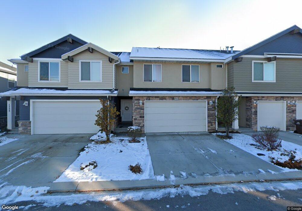
1763 W 50 N Pleasant Grove, UT 84062
Estimated Value: $403,000 - $418,122
3
Beds
3
Baths
1,611
Sq Ft
$256/Sq Ft
Est. Value
About This Home
This home is located at 1763 W 50 N, Pleasant Grove, UT 84062 and is currently estimated at $412,281, approximately $255 per square foot. 1763 W 50 N is a home located in Utah County with nearby schools including Barratt Elementary School, American Fork Junior High School, and American Fork High School.
Ownership History
Date
Name
Owned For
Owner Type
Purchase Details
Closed on
Sep 6, 2023
Sold by
Farnsworth Matthew D and Farnsworth Giovanna A
Bought by
Williamson Mandy and Jorgensen Christy
Current Estimated Value
Home Financials for this Owner
Home Financials are based on the most recent Mortgage that was taken out on this home.
Original Mortgage
$393,263
Outstanding Balance
$384,685
Interest Rate
6.81%
Mortgage Type
FHA
Estimated Equity
$27,596
Purchase Details
Closed on
Oct 1, 2021
Sold by
Farnsworth Matthew D and Corpus Giovanna A
Bought by
Farnsworth Matthew D and Farnsworth Giovanna A
Home Financials for this Owner
Home Financials are based on the most recent Mortgage that was taken out on this home.
Original Mortgage
$318,800
Interest Rate
2.8%
Mortgage Type
New Conventional
Purchase Details
Closed on
Mar 23, 2020
Sold by
Harman Joseph M
Bought by
Farnsworth Matthew D and Alba Corpus Giovanna
Home Financials for this Owner
Home Financials are based on the most recent Mortgage that was taken out on this home.
Original Mortgage
$299,475
Interest Rate
3.37%
Mortgage Type
FHA
Purchase Details
Closed on
Mar 16, 2017
Sold by
Corbett Spencer S and Corbett Kristine
Bought by
Harman Joseph M
Home Financials for this Owner
Home Financials are based on the most recent Mortgage that was taken out on this home.
Original Mortgage
$213,109
Interest Rate
4.19%
Mortgage Type
New Conventional
Purchase Details
Closed on
Sep 4, 2015
Sold by
Corbett Spencer S
Bought by
Corbett Spencer S and Corbett Kristine
Home Financials for this Owner
Home Financials are based on the most recent Mortgage that was taken out on this home.
Original Mortgage
$181,500
Interest Rate
3.91%
Mortgage Type
New Conventional
Purchase Details
Closed on
May 21, 2014
Sold by
D R Horton Inc
Bought by
Corbett Spencer S
Home Financials for this Owner
Home Financials are based on the most recent Mortgage that was taken out on this home.
Original Mortgage
$179,360
Interest Rate
4.31%
Mortgage Type
New Conventional
Create a Home Valuation Report for This Property
The Home Valuation Report is an in-depth analysis detailing your home's value as well as a comparison with similar homes in the area
Home Values in the Area
Average Home Value in this Area
Purchase History
| Date | Buyer | Sale Price | Title Company |
|---|---|---|---|
| Williamson Mandy | -- | Title One | |
| Farnsworth Matthew D | -- | Cottonwood Title | |
| Farnsworth Matthew D | -- | Utah First Title Ins Agcy | |
| Harman Joseph M | -- | Greenbrier Title Ins Agen | |
| Corbett Spencer S | -- | Gt Title Services | |
| Corbett Spencer S | -- | Provo Land Title Co |
Source: Public Records
Mortgage History
| Date | Status | Borrower | Loan Amount |
|---|---|---|---|
| Open | Williamson Mandy | $393,263 | |
| Previous Owner | Farnsworth Matthew D | $318,800 | |
| Previous Owner | Farnsworth Matthew D | $299,475 | |
| Previous Owner | Harman Joseph M | $213,109 | |
| Previous Owner | Corbett Spencer S | $181,500 | |
| Previous Owner | Corbett Spencer S | $179,360 |
Source: Public Records
Tax History Compared to Growth
Tax History
| Year | Tax Paid | Tax Assessment Tax Assessment Total Assessment is a certain percentage of the fair market value that is determined by local assessors to be the total taxable value of land and additions on the property. | Land | Improvement |
|---|---|---|---|---|
| 2025 | $1,836 | $211,090 | $56,400 | $327,400 |
| 2024 | $1,836 | $218,790 | $0 | $0 |
| 2023 | $1,673 | $204,435 | $0 | $0 |
| 2022 | $1,821 | $221,320 | $0 | $0 |
| 2021 | $1,568 | $290,200 | $43,500 | $246,700 |
| 2020 | $1,451 | $263,200 | $39,500 | $223,700 |
| 2019 | $1,381 | $259,100 | $38,900 | $220,200 |
| 2018 | $1,269 | $225,100 | $33,800 | $191,300 |
| 2017 | $1,124 | $106,150 | $0 | $0 |
| 2016 | $1,164 | $106,150 | $0 | $0 |
| 2015 | $1,204 | $103,950 | $0 | $0 |
Source: Public Records
Map
Nearby Homes
- 29 S 2000 W
- 1584 W 110 N
- 1559 W 50 N
- 1775 W 120 S Unit 54
- 1795 W 120 S Unit 52
- The Hastings Plan at Tayside Farm - Townhome
- The Henley A Plan at Tayside Farm - Single Family Home
- The Denton Plan at Tayside Farm - Townhome
- The Henley B Plan at Tayside Farm - Single Family Home
- 1542 W 110 N
- 128 S 1700 W Unit 12
- 1593 W 220 N
- 1512 W 50 N
- 1541 W 250 N
- 293 N 1630 W
- 1429 W 110 N
- 1406 W 50 N
- 1525 W 300 N
- 1088 E 390 S
- 150 N 1300 W
- 1773 W 50 N Unit 128
- 1753 W 50 N Unit 130
- 1783 W 50 N Unit 127
- 1783 W 50 N
- 1741 W 50 N Unit 131
- 1741 W 50 N
- 1793 W 50 N Unit 126
- 1764 W 10 S Unit 170
- 1764 W 10 S
- 1774 W 10 S
- 1754 W 10 S
- 1754 W 10 S Unit 169
- 1754 W 10 S
- 1784 W 10 S
- 1729 W 50 N Unit 132
- 1729 W 50 N
- 1744 W 10 S Unit 168
- 1744 W 10 S
- 1797 W 50 N
- 1794 W 10 S