17633 Collier Cir Poolesville, MD 20837
Estimated Value: $520,807 - $636,000
Studio
3
Baths
2,000
Sq Ft
$293/Sq Ft
Est. Value
About This Home
This home is located at 17633 Collier Cir, Poolesville, MD 20837 and is currently estimated at $585,202, approximately $292 per square foot. 17633 Collier Cir is a home located in Montgomery County with nearby schools including Poolesville Elementary School, John H. Poole Middle School, and Poolesville High School.
Ownership History
Date
Name
Owned For
Owner Type
Purchase Details
Closed on
Jul 2, 2020
Sold by
Maloney Michael P and Maloney Patricia A
Bought by
Alobaid Moataz A and Condo Alobaid Bethany L
Current Estimated Value
Home Financials for this Owner
Home Financials are based on the most recent Mortgage that was taken out on this home.
Original Mortgage
$370,000
Outstanding Balance
$327,477
Interest Rate
3%
Mortgage Type
New Conventional
Estimated Equity
$257,725
Purchase Details
Closed on
Jun 20, 1990
Bought by
Maloney Michael P and P A
Create a Home Valuation Report for This Property
The Home Valuation Report is an in-depth analysis detailing your home's value as well as a comparison with similar homes in the area
Home Values in the Area
Average Home Value in this Area
Purchase History
| Date | Buyer | Sale Price | Title Company |
|---|---|---|---|
| Alobaid Moataz A | $462,500 | Commonwealth Land Ttl Ins Co | |
| Maloney Michael P | $167,000 | -- |
Source: Public Records
Mortgage History
| Date | Status | Borrower | Loan Amount |
|---|---|---|---|
| Open | Alobaid Moataz A | $370,000 |
Source: Public Records
Tax History
| Year | Tax Paid | Tax Assessment Tax Assessment Total Assessment is a certain percentage of the fair market value that is determined by local assessors to be the total taxable value of land and additions on the property. | Land | Improvement |
|---|---|---|---|---|
| 2025 | $5,319 | $426,133 | -- | -- |
| 2024 | $5,319 | $409,700 | $203,600 | $206,100 |
| 2023 | $4,508 | $405,867 | $0 | $0 |
| 2022 | $4,298 | $402,033 | $0 | $0 |
| 2021 | $4,268 | $398,200 | $186,500 | $211,700 |
| 2020 | $2,050 | $386,500 | $0 | $0 |
| 2019 | $3,967 | $374,800 | $0 | $0 |
| 2018 | $3,838 | $363,100 | $186,500 | $176,600 |
| 2017 | $3,664 | $350,667 | $0 | $0 |
| 2016 | -- | $338,233 | $0 | $0 |
| 2015 | $3,187 | $325,800 | $0 | $0 |
| 2014 | $3,187 | $324,933 | $0 | $0 |
Source: Public Records
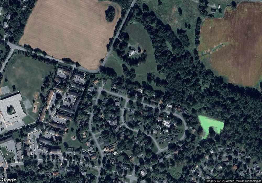
Map
Nearby Homes
- 19158 Dowden Cir
- 19509 Fisher Ave Unit (LOT 2)
- 19507 Fisher Ave Unit (LOT 3)
- 19505 Fisher Ave Unit (LOT 1)
- 19656 Wootton Ave
- 17403 Fyffe Rd
- 17100 Evans Way
- 19728 Wootton Ave
- 19716 Selby Ave
- 19110 Tatie Way
- 17116 Chiswell Rd
- 19821 Spurrier Ave
- 17108 Wild Turkey Way
- 0 Wild Turkey Way
- 21331 Big Woods Rd
- 17112 Wild Turkey Way
- 17900 Hickman St
- 0 Beallsville Rd Unit MDMC2136882
- 0 Peach Tree Rd Unit MDMC2210762
- 18524 Beallsville Rd
- 17629 Collier Cir
- 17637 Collier Cir
- 17641 Collier Cir
- 17625 Collier Cir
- 19236 Walters Ave
- 17628 Collier Cir
- 17624 Collier Cir
- 19232 Walters Ave
- 17621 Collier Cir
- 17645 Collier Cir
- 17621 Soper St
- 17620 Collier Cir
- 19228 Walters Ave
- 17617 Soper St
- 17617 Collier Cir
- 19213 Walters Ave
- 17628 Soper St
- 19224 Walters Ave
- 17751 Cattail Rd
- 17624 Soper St
Your Personal Tour Guide
Ask me questions while you tour the home.