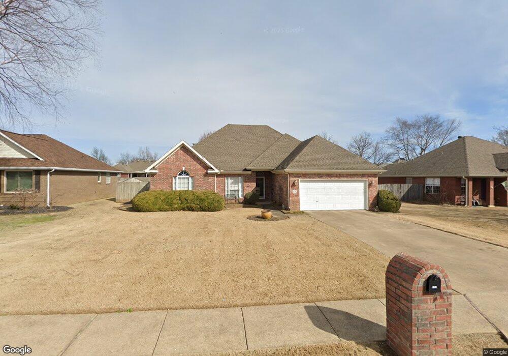
1764 Lancaster Dr Springdale, AR 72762
Estimated Value: $387,000 - $439,000
4
Beds
2
Baths
2,100
Sq Ft
$200/Sq Ft
Est. Value
About This Home
This home is located at 1764 Lancaster Dr, Springdale, AR 72762 and is currently estimated at $419,106, approximately $199 per square foot. 1764 Lancaster Dr is a home located in Benton County with nearby schools including Hunt Elementary School, Central Junior High School, and Hellstern Middle School.
Ownership History
Date
Name
Owned For
Owner Type
Purchase Details
Closed on
Oct 24, 2005
Sold by
Burkes Mark A and Burkes Sherri L
Bought by
Weiser Debbie M
Current Estimated Value
Home Financials for this Owner
Home Financials are based on the most recent Mortgage that was taken out on this home.
Original Mortgage
$172,000
Interest Rate
5.75%
Mortgage Type
New Conventional
Purchase Details
Closed on
Nov 12, 2002
Bought by
Burkes
Purchase Details
Closed on
Aug 7, 1998
Bought by
Kelly
Purchase Details
Closed on
Jul 10, 1997
Bought by
Pinnacle
Purchase Details
Closed on
May 30, 1997
Bought by
Elder Const 3Pcls
Create a Home Valuation Report for This Property
The Home Valuation Report is an in-depth analysis detailing your home's value as well as a comparison with similar homes in the area
Purchase History
We collect this data history from publicly available records. To have your information removed, we recommend requesting removal directly through your county’s website.
| Date | Buyer | Sale Price | Title Company |
|---|---|---|---|
| Weiser Debbie M | $215,000 | Elite Title Company Inc | |
| Burkes | $168,000 | -- | |
| Kelly | $138,000 | -- | |
| Pinnacle | -- | -- | |
| Elder Const 3Pcls | $68,000 | -- |
Source: Public Records
Mortgage History
We collect this data history from publicly available records. To have your information removed, we recommend requesting removal directly through your county’s website.
| Date | Status | Borrower | Loan Amount |
|---|---|---|---|
| Closed | Weiser Debbie M | $172,000 |
Source: Public Records
Tax History
| Year | Tax Paid | Tax Assessment Tax Assessment Total Assessment is a certain percentage of the fair market value that is determined by local assessors to be the total taxable value of land and additions on the property. | Land | Improvement |
|---|---|---|---|---|
| 2025 | $2,845 | $79,582 | $24,000 | $55,582 |
| 2024 | $2,777 | $79,582 | $24,000 | $55,582 |
| 2023 | $2,645 | $52,830 | $15,200 | $37,630 |
| 2022 | $2,160 | $52,830 | $15,200 | $37,630 |
| 2021 | $2,035 | $52,830 | $15,200 | $37,630 |
| 2020 | $1,925 | $43,150 | $9,600 | $33,550 |
| 2019 | $1,925 | $43,150 | $9,600 | $33,550 |
| 2018 | $1,950 | $43,150 | $9,600 | $33,550 |
| 2017 | $1,827 | $43,150 | $9,600 | $33,550 |
| 2016 | $1,827 | $43,150 | $9,600 | $33,550 |
| 2015 | $2,058 | $38,620 | $6,800 | $31,820 |
| 2014 | $1,708 | $38,620 | $6,800 | $31,820 |
Source: Public Records
Map
Nearby Homes
- 989 Lexington Cir
- 4661 Carriage Ln
- 0 Graham Rd
- 1308 W Stultz Rd
- 3450 Pasofino Loop
- 3815 Compton Place
- 3364 Sagely Ln
- 4752 Stonecrest
- 3256 Tanglewood Dr
- 1483 Leesburg Ave
- 1301 W Morris Ave
- 3492 Eaglecrest Cir
- 2983 Wagon Wheel Rd Unit 2945
- 3031 Sagely Ln
- 3036 Eaglecrest Cir
- 5586 Walden St
- 3381 Eaglecrest Cir
- 2987 Willow Spring Ct
- 2680 Charismatic
- 3280 Laurel Spring Cove
- 4382 Warwick Cove
- 4414 Warwick Cove
- 4414 Warwich Cove Ave
- 1732 Lancaster Dr
- 4358 Warwick Cove
- 1796 Lancaster Dr
- 1761 Lancaster Dr
- 4466 Warwick Cove
- 1785 Lancaster Dr
- 1747 Lancaster Dr
- 4334 Warwick Cove
- 1716 Lancaster Dr
- 1729 Lancaster Dr
- 1808 Lancaster Dr
- 1843 Lancaster Dr
- 4310 Warwick Cove
- 4488 Warwick Cove
- 4496 Essex Cove
- 1816 Lancaster Dr
- 4381 Warwick Cove
Your Personal Tour Guide
Ask me questions while you tour the home.