1765 Dog Fork Rd Chapmanville, WV 25508
Estimated Value: $208,000 - $272,000
4
Beds
3
Baths
2,404
Sq Ft
$100/Sq Ft
Est. Value
About This Home
This home is located at 1765 Dog Fork Rd, Chapmanville, WV 25508 and is currently estimated at $239,538, approximately $99 per square foot. 1765 Dog Fork Rd is a home located in Boone County.
Ownership History
Date
Name
Owned For
Owner Type
Purchase Details
Closed on
May 12, 2017
Sold by
Ulbrich Ulbrich Barbara Ann Barbara Ann and Ulbrich Whited Beth Ann
Bought by
Conley Terry A and Conley Kimberly D
Current Estimated Value
Home Financials for this Owner
Home Financials are based on the most recent Mortgage that was taken out on this home.
Original Mortgage
$176,739
Outstanding Balance
$145,547
Interest Rate
3.75%
Mortgage Type
FHA
Estimated Equity
$93,991
Purchase Details
Closed on
Jul 21, 2010
Sold by
Ulbrich Barbara Ann
Bought by
Ulbrich Whited Beth Anne
Create a Home Valuation Report for This Property
The Home Valuation Report is an in-depth analysis detailing your home's value as well as a comparison with similar homes in the area
Home Values in the Area
Average Home Value in this Area
Purchase History
| Date | Buyer | Sale Price | Title Company |
|---|---|---|---|
| Conley Terry A | $180,000 | None Available | |
| Ulbrich Whited Beth Anne | -- | -- |
Source: Public Records
Mortgage History
| Date | Status | Borrower | Loan Amount |
|---|---|---|---|
| Open | Conley Terry A | $176,739 |
Source: Public Records
Tax History Compared to Growth
Tax History
| Year | Tax Paid | Tax Assessment Tax Assessment Total Assessment is a certain percentage of the fair market value that is determined by local assessors to be the total taxable value of land and additions on the property. | Land | Improvement |
|---|---|---|---|---|
| 2024 | $980 | $80,040 | $7,320 | $72,720 |
| 2023 | $992 | $73,020 | $6,840 | $66,180 |
| 2022 | $869 | $68,580 | $6,360 | $62,220 |
| 2021 | $829 | $65,520 | $6,360 | $59,160 |
| 2020 | $833 | $65,760 | $5,280 | $60,480 |
| 2019 | $833 | $65,760 | $5,280 | $60,480 |
| 2018 | $839 | $66,180 | $5,280 | $60,900 |
| 2017 | $788 | $62,220 | $5,280 | $56,940 |
| 2016 | $789 | $62,280 | $5,280 | $57,000 |
| 2015 | $737 | $58,200 | $5,280 | $52,920 |
| 2014 | $695 | $54,840 | $5,280 | $49,560 |
Source: Public Records
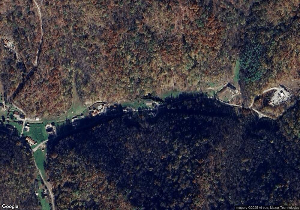
Map
Nearby Homes
- 634 Ellis Branch Rd
- 3680 Garretts Fork Rd
- 1055 Hurricane Branch Rd
- 1880 Mikes Fork Rd
- 1079 Garrett Fork Rd
- 1469 Main Hewett Creek Rd
- 455 Jims Branch Rd
- 6520 N Fork Rd
- 51 Oakmont Dr
- 2075 Hewett Creek Rd
- 0 Spruce Fork Unit 11581337
- 894 Main St
- 0 Jeffrey St
- TBD Pecks Mill Bridge Rd
- 225 Fairchance Rd
- 234 Towers Dr
- 29 Dutchwood Ln
- 479 Walker Dr
- 49 Garnet Ave
- 6 Farley St
- 1765 Dog Fork Rd
- 1765 Dog Fork Rd
- 1720 Dog Fork Rd
- 1695 Dog Fork Rd
- 1421 Dog Fork Rd
- 1301 Dog Fork Rd
- 1183 Dog Fork Rd
- TBD Dog Fork Rd
- 1047 Dog Fork Rd
- 1105 Dog Fork Rd
- 73 Starlight Dr
- 226 Starlight Dr
- 24 Dog Fork Rd
- 726 Tower Rd
- 1015 North Fork Rd Unit DOG
- 470 Dog Fork Rd
- 705 Dog Fork Rd
- 604 Dog Fork Rd
- 602 Dog Fork Rd
- 512 Dog Fork Rd