1765 S 60 W Unit 32C Payson, UT 84651
Estimated Value: $510,000 - $594,000
3
Beds
3
Baths
3,258
Sq Ft
$172/Sq Ft
Est. Value
About This Home
This home is located at 1765 S 60 W Unit 32C, Payson, UT 84651 and is currently estimated at $560,878, approximately $172 per square foot. 1765 S 60 W Unit 32C is a home located in Utah County with nearby schools including Spring Lake Elementary, Payson High School, and Payson Junior High School.
Ownership History
Date
Name
Owned For
Owner Type
Purchase Details
Closed on
Sep 19, 2017
Sold by
Voorhees Charles David and Voorhees Deannc
Bought by
Voorhees Charles D and Voorhees De Anne
Current Estimated Value
Purchase Details
Closed on
Aug 28, 2014
Sold by
Salisbury Developers Inc
Bought by
Voorhees Charles David and Voorhees Deanne
Home Financials for this Owner
Home Financials are based on the most recent Mortgage that was taken out on this home.
Original Mortgage
$191,264
Outstanding Balance
$146,263
Interest Rate
4.11%
Mortgage Type
New Conventional
Estimated Equity
$414,615
Purchase Details
Closed on
Jun 26, 2014
Sold by
Cregg Merrill Jacobson Family Lp
Bought by
Salisbury Developers Inc
Home Financials for this Owner
Home Financials are based on the most recent Mortgage that was taken out on this home.
Original Mortgage
$189,900
Interest Rate
4.09%
Mortgage Type
Construction
Create a Home Valuation Report for This Property
The Home Valuation Report is an in-depth analysis detailing your home's value as well as a comparison with similar homes in the area
Home Values in the Area
Average Home Value in this Area
Purchase History
| Date | Buyer | Sale Price | Title Company |
|---|---|---|---|
| Voorhees Charles D | -- | None Available | |
| Voorhees Charles David | -- | Provo Land Title Co | |
| Salisbury Developers Inc | -- | Provo Land Title Co |
Source: Public Records
Mortgage History
| Date | Status | Borrower | Loan Amount |
|---|---|---|---|
| Open | Voorhees Charles David | $191,264 | |
| Previous Owner | Salisbury Developers Inc | $189,900 |
Source: Public Records
Tax History Compared to Growth
Tax History
| Year | Tax Paid | Tax Assessment Tax Assessment Total Assessment is a certain percentage of the fair market value that is determined by local assessors to be the total taxable value of land and additions on the property. | Land | Improvement |
|---|---|---|---|---|
| 2025 | $2,730 | $292,545 | $177,400 | $354,500 |
| 2024 | $2,730 | $277,860 | $0 | $0 |
| 2023 | $2,795 | $285,230 | $0 | $0 |
| 2022 | $2,822 | $283,250 | $0 | $0 |
| 2021 | $2,392 | $385,100 | $116,400 | $268,700 |
| 2020 | $2,269 | $357,400 | $105,800 | $251,600 |
| 2019 | $2,100 | $339,100 | $87,500 | $251,600 |
| 2018 | $1,905 | $296,500 | $76,600 | $219,900 |
| 2017 | $1,787 | $149,545 | $0 | $0 |
| 2016 | $1,654 | $137,500 | $0 | $0 |
| 2015 | $1,528 | $126,170 | $0 | $0 |
Source: Public Records
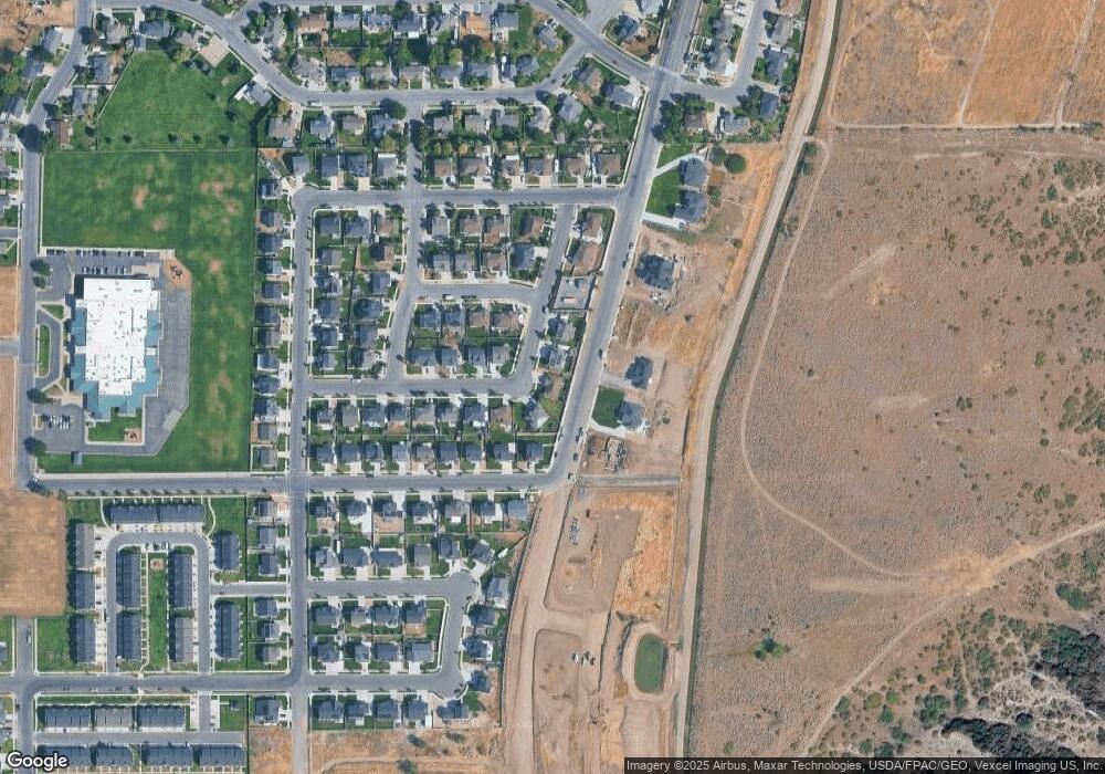
Map
Nearby Homes
- 211 W 1800 S
- 44 W 1690 S Unit 109
- 32 E 1690 S
- 32 E 1690 S Unit 113
- 1632 S 240 W Unit 47
- 1652 S 240 W Unit 48
- 1825 S 410 W
- 1856 S 410 W
- The Aurora Plan at Payson View South
- The McKenzie Plan at Payson View South
- The Elizabeth Plan at Payson View South
- The Christine Plan at Payson View South
- The Kaitlyn Plan at Payson View South
- The Autumn Plan at Payson View South
- The Avery Plan at Payson View South
- The Roosevelt Plan at Payson View South
- The Brooke Plan at Payson View South
- The Madison Plan at Payson View South
- The Brandy Plan at Payson View South
- The Evelyn Plan at Payson View South
- 1753 S 60 W
- 115 W 1770 S
- 137 W 1770 S
- 122 W 1770 S
- 118 W 1800 S
- 118 W 1800 S Unit 46
- 150 W 1800 S
- 191 W 1770 S Unit NEBO
- 184 1770 S
- 184 W 1770 S Unit MARTIN
- 184 W 1770 S
- 113 W 1730 S Unit 29B
- 165 W 1730 S Unit 28
- 165 W 1730 S Unit HALEY
- 165 W 1730 S
- 182 W 1800 S
- 233 W 1770 S Unit MARTIN
- 226 W 1770 S Unit AUBREY
- 203 W 1730 S Unit 27
- 203 W 1730 S Unit MORRIS