Estimated Value: $413,407 - $500,000
--
Bed
2
Baths
--
Sq Ft
6.65
Acres
About This Home
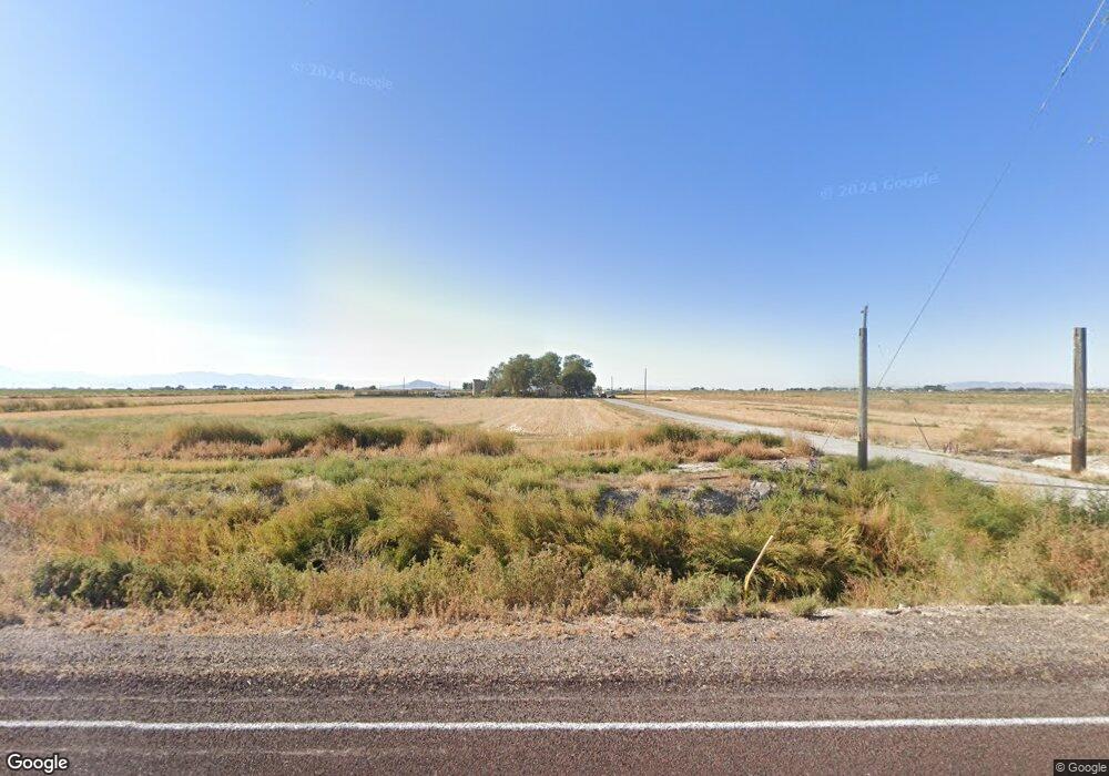
This home is located at 1765 W 2500 S, Delta, UT 84624 and is currently estimated at $465,136. 1765 W 2500 S is a home located in Millard County.
Ownership History
Date
Name
Owned For
Owner Type
Purchase Details
Closed on
Jul 16, 2014
Sold by
Wacey A Wacey A
Bought by
Jenkins Wacey A and Jenkins Kaela Ann
Current Estimated Value
Home Financials for this Owner
Home Financials are based on the most recent Mortgage that was taken out on this home.
Original Mortgage
$204,081
Outstanding Balance
$154,819
Interest Rate
4.13%
Mortgage Type
Stand Alone First
Estimated Equity
$310,317
Create a Home Valuation Report for This Property
The Home Valuation Report is an in-depth analysis detailing your home's value as well as a comparison with similar homes in the area
Home Values in the Area
Average Home Value in this Area
Purchase History
| Date | Buyer | Sale Price | Title Company |
|---|---|---|---|
| Jenkins Wacey A | -- | -- | |
| Jenkins Wacey A | -- | First American Title Insur |
Source: Public Records
Mortgage History
| Date | Status | Borrower | Loan Amount |
|---|---|---|---|
| Open | Jenkins Wacey A | $204,081 | |
| Closed | Jenkins Wacey A | $204,081 |
Source: Public Records
Tax History Compared to Growth
Tax History
| Year | Tax Paid | Tax Assessment Tax Assessment Total Assessment is a certain percentage of the fair market value that is determined by local assessors to be the total taxable value of land and additions on the property. | Land | Improvement |
|---|---|---|---|---|
| 2025 | $1,481 | $182,050 | $21,020 | $161,030 |
| 2024 | $1,481 | $196,219 | $16,688 | $179,531 |
| 2023 | $1,690 | $196,219 | $16,688 | $179,531 |
| 2022 | $1,539 | $136,108 | $14,513 | $121,595 |
| 2021 | $1,301 | $110,999 | $14,513 | $96,486 |
| 2020 | $1,249 | $107,294 | $14,513 | $92,781 |
| 2019 | $1,204 | $104,440 | $14,513 | $89,927 |
| 2018 | $1,066 | $94,789 | $14,513 | $80,276 |
| 2017 | $1,077 | $91,489 | $11,213 | $80,276 |
| 2016 | $1,030 | $91,489 | $11,213 | $80,276 |
| 2015 | $1,029 | $91,489 | $11,213 | $80,276 |
| 2014 | -- | $90,578 | $11,213 | $79,365 |
| 2013 | -- | $65,011 | $11,213 | $53,798 |
Source: Public Records
Map
Nearby Homes
- 17000 W 2500 Rd S
- 16700 W 2500 South Rd
- 16800 W 2500 South Rd
- 0 Tbd 3000 Rd S Unit LotWP001
- 6177 S 3000 Rd W
- 470 S 2750 W Unit 6
- 460 S 2750 W Unit 7
- 490 S 2750 W Unit 5
- 465 S 2750 W Unit 4
- 6500 S 3000 West Rd
- 3480 S 4000 W
- 3770 S 4000 Rd W
- 242 S 400 W
- 294 S 300 W
- 6500 W 2000 S
- 435 W 100 S
- 3885 W 4500 S
- 328 S Center St
- 32 E 300 S
- 38 E 300 S