176552 Johnson Rd Duncan, OK 73533
Estimated Value: $238,000 - $278,350
3
Beds
1
Bath
1,688
Sq Ft
$153/Sq Ft
Est. Value
About This Home
This home is located at 176552 Johnson Rd, Duncan, OK 73533 and is currently estimated at $257,588, approximately $152 per square foot. 176552 Johnson Rd is a home located in Stephens County with nearby schools including Emerson Elementary School, Duncan Middle School, and Duncan High School.
Ownership History
Date
Name
Owned For
Owner Type
Purchase Details
Closed on
May 13, 2011
Sold by
Edmondson Timothy Rat and Edmondson Sheila D
Bought by
Inman Aaron and Inman Elissa
Current Estimated Value
Home Financials for this Owner
Home Financials are based on the most recent Mortgage that was taken out on this home.
Original Mortgage
$134,309
Outstanding Balance
$93,308
Interest Rate
4.95%
Mortgage Type
Unknown
Estimated Equity
$164,280
Purchase Details
Closed on
Mar 3, 1999
Sold by
Edmonson Timothy Ray
Purchase Details
Closed on
Jul 30, 1993
Sold by
Eady Audie
Create a Home Valuation Report for This Property
The Home Valuation Report is an in-depth analysis detailing your home's value as well as a comparison with similar homes in the area
Purchase History
| Date | Buyer | Sale Price | Title Company |
|---|---|---|---|
| Inman Aaron | $166,500 | None Available | |
| -- | -- | -- | |
| -- | $22,000 | -- |
Source: Public Records
Mortgage History
| Date | Status | Borrower | Loan Amount |
|---|---|---|---|
| Open | Inman Aaron | $134,309 |
Source: Public Records
Tax History
| Year | Tax Paid | Tax Assessment Tax Assessment Total Assessment is a certain percentage of the fair market value that is determined by local assessors to be the total taxable value of land and additions on the property. | Land | Improvement |
|---|---|---|---|---|
| 2025 | $2,233 | $25,459 | $3,729 | $21,730 |
| 2024 | $1,936 | $21,341 | $2,935 | $18,406 |
| 2023 | $1,936 | $21,341 | $2,984 | $18,357 |
| 2022 | $1,816 | $20,719 | $2,847 | $17,872 |
| 2021 | $1,823 | $20,116 | $2,579 | $17,537 |
| 2020 | $1,721 | $18,961 | $2,579 | $16,382 |
| 2019 | $1,774 | $18,981 | $2,579 | $16,402 |
| 2018 | $1,873 | $19,001 | $2,579 | $16,422 |
| 2017 | $1,869 | $18,510 | $2,579 | $15,931 |
| 2016 | $1,835 | $18,418 | $3,300 | $15,118 |
| 2015 | $1,508 | $18,418 | $3,300 | $15,118 |
| 2014 | $1,508 | $18,418 | $3,300 | $15,118 |
Source: Public Records
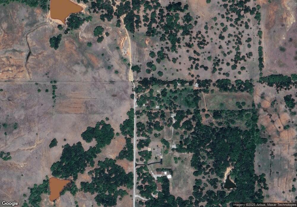
Map
Nearby Homes
- 1106 W Ash Ave
- 1203 W Walnut Ave
- 1105 W Beech Ave
- 1314 W Beech Ave
- 27 N 14th St
- 1309 W Beech Ave
- 915 W Chestnut Ave
- 809 W Beech Ave
- 0 Alaska Unit 2602709
- 1275 N 10th St
- 305 S 12th St
- 1312 W Pine Ave
- 1213 W Pine Ave
- 905 W Pine Ave
- 713 W Elm Ave
- 512 W Oak Ave
- 722 N 8th St
- 708 W Pecan Ave
- 507 S 13th St
- 815 N 14th St
- 286449 E 1780 Rd
- 176684 Johnson Rd
- 176684 Johnson Rd
- 0 W Oak Ave Unit 37790
- 1107 W Oak Ave
- 1111 W Oak Ave
- 1105 W Oak Ave
- 1110 W Oak Ave
- 1115 W Oak Ave
- 1114 W Oak Ave
- 1108 W Oak Ave
- 1118 W Oak Ave
- 1104 W Oak Ave
- 1102 W Oak Ave
- 112 N 12th St
- 117 N 11th St
- 207 N 11th St
- 1108 W Ash Ave
- 1112 W Ash Ave
- 1114 W Ash Ave