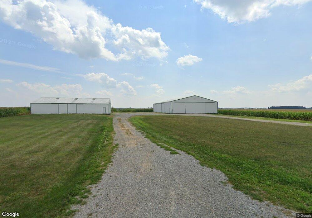
17656 State Rd van Wert, OH 45891
Estimated Value: $1,035,044
4
Beds
1
Bath
2,041
Sq Ft
$507/Sq Ft
Est. Value
About This Home
This home is located at 17656 State Rd, van Wert, OH 45891 and is currently priced at $1,035,044, approximately $507 per square foot. 17656 State Rd is a home located in Van Wert County with nearby schools including Lincolnview Elementary School and Lincolnview Junior/Senior High School.
Ownership History
Date
Name
Owned For
Owner Type
Purchase Details
Closed on
Oct 18, 2021
Sold by
Morris Alan and Morris Joyce A
Bought by
Morris Alan L and Morris Joyce A
Current Estimated Value
Purchase Details
Closed on
Oct 7, 2021
Sold by
Donald W Morris Family Trust and Barbara V Morris Revocable Living Trust
Bought by
Morris Alan and Morris Steve
Purchase Details
Closed on
Dec 17, 2012
Sold by
Morris Donald W and The Donald W Morris Revocable
Bought by
Morris Alan L and Morris Joyce A
Create a Home Valuation Report for This Property
The Home Valuation Report is an in-depth analysis detailing your home's value as well as a comparison with similar homes in the area
Purchase History
| Date | Buyer | Sale Price | Title Company |
|---|---|---|---|
| Morris Alan L | -- | None Listed On Document | |
| Morris Alan | -- | None Listed On Document | |
| Morris Alan | -- | None Listed On Document | |
| Morris Alan L | -- | Attorney |
Source: Public Records
Tax History
| Year | Tax Paid | Tax Assessment Tax Assessment Total Assessment is a certain percentage of the fair market value that is determined by local assessors to be the total taxable value of land and additions on the property. | Land | Improvement |
|---|---|---|---|---|
| 2024 | $4,423 | $133,180 | $94,880 | $38,300 |
| 2023 | $4,389 | $133,180 | $94,880 | $38,300 |
| 2022 | $3,921 | $87,370 | $54,780 | $32,590 |
| 2021 | $4,995 | $111,260 | $60,430 | $50,830 |
| 2020 | $4,984 | $111,260 | $60,430 | $50,830 |
| 2019 | $5,296 | $128,700 | $88,330 | $40,370 |
| 2018 | $5,246 | $128,700 | $88,330 | $40,370 |
| 2017 | $5,112 | $128,700 | $88,330 | $40,370 |
| 2016 | $4,946 | $140,130 | $111,880 | $28,250 |
| 2015 | $4,873 | $140,130 | $111,880 | $28,250 |
| 2014 | $5,059 | $140,130 | $111,880 | $28,250 |
| 2013 | $3,526 | $80,750 | $52,500 | $28,250 |
Source: Public Records
Map
Nearby Homes
- 19195 State Rd
- 18906 Bebb St
- 15044 Main St
- 19059 Wittington St
- TBD Dog Creek Rd
- 112 W Railroad St
- 14998 Middle Point Rd
- 523 E Jackson St
- 1109 Mendon Rd
- TBD Mendon Rd
- 780 Maplewood Dr
- 21302 Masters Rd
- 15453 U S 127
- 300 S Wayne St
- 224 S Franklin St
- 529 S Tyler St
- 1060 1056 S Washington St
- 205 N Chestnut St
- 129 Balyeat Ave
- 142 E Raymond St
Your Personal Tour Guide
Ask me questions while you tour the home.