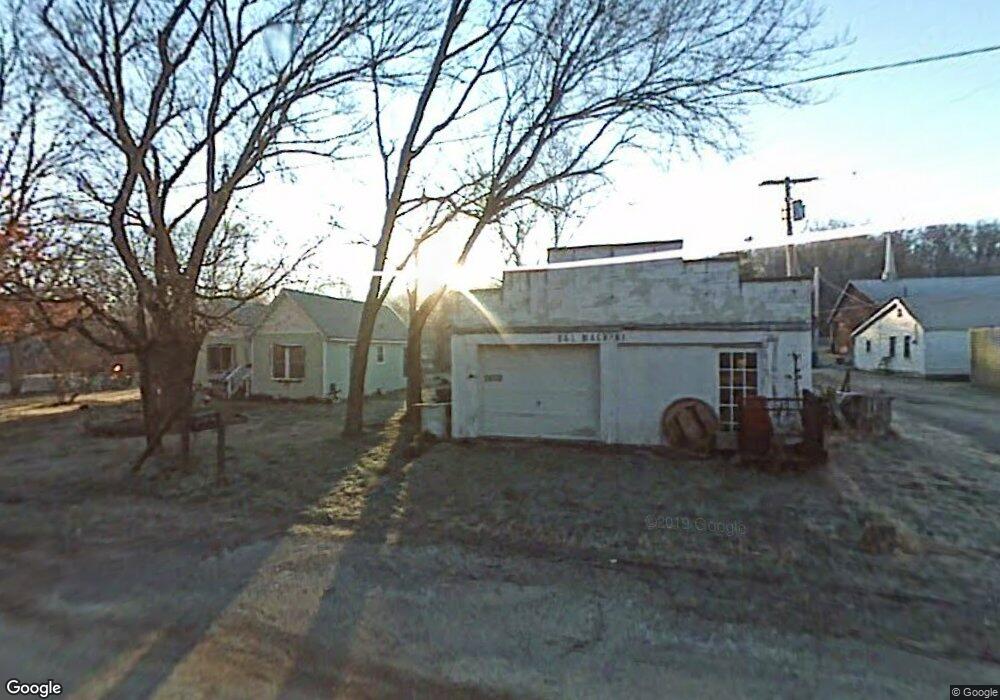
17657 Springtown Main St Springtown, AR 72734
Estimated Value: $75,661 - $476,000
Studio
--
Bath
--
Sq Ft
3,485
Sq Ft Lot
About This Home
This home is located at 17657 Springtown Main St, Springtown, AR 72734 and is currently estimated at $229,415. 17657 Springtown Main St is a home located in Benton County with nearby schools including Gentry Intermediate School, Gentry Primary School, and Gentry Middle School.
Ownership History
Date
Name
Owned For
Owner Type
Purchase Details
Closed on
Oct 9, 2023
Sold by
Law Dixie
Bought by
Darrow Michael Allen
Current Estimated Value
Purchase Details
Closed on
Mar 22, 2000
Bought by
Law and Law Brown
Purchase Details
Closed on
Dec 2, 1999
Bought by
Law
Purchase Details
Closed on
May 3, 1999
Bought by
Law and Law Brown
Purchase Details
Closed on
Dec 1, 1998
Bought by
Law
Purchase Details
Closed on
Jul 20, 1998
Bought by
Law 2P
Purchase Details
Closed on
Mar 29, 1994
Bought by
Darrow
Purchase Details
Closed on
Sep 23, 1993
Bought by
Darrow
Purchase Details
Closed on
Oct 3, 1985
Bought by
Wasson
Create a Home Valuation Report for This Property
The Home Valuation Report is an in-depth analysis detailing your home's value as well as a comparison with similar homes in the area
Purchase History
| Date | Buyer | Sale Price | Title Company |
|---|---|---|---|
| Darrow Michael Allen | -- | None Listed On Document | |
| Law | -- | -- | |
| Law | -- | -- | |
| Law | -- | -- | |
| Law | -- | -- | |
| Law 2P | $23,000 | -- | |
| Darrow | -- | -- | |
| Darrow | $5,000 | -- | |
| Dod Dod 1 | -- | -- | |
| Wasson | -- | -- |
Source: Public Records
Tax History
| Year | Tax Paid | Tax Assessment Tax Assessment Total Assessment is a certain percentage of the fair market value that is determined by local assessors to be the total taxable value of land and additions on the property. | Land | Improvement |
|---|---|---|---|---|
| 2025 | $32 | $566 | -- | $566 |
| 2024 | $31 | $566 | $0 | $566 |
| 2023 | $31 | $570 | $0 | $570 |
| 2022 | $33 | $570 | $0 | $570 |
| 2021 | $33 | $570 | $0 | $570 |
| 2020 | $60 | $1,180 | $420 | $760 |
| 2019 | $58 | $1,180 | $420 | $760 |
| 2018 | $56 | $1,180 | $420 | $760 |
| 2017 | $51 | $1,180 | $420 | $760 |
| 2016 | $51 | $1,180 | $420 | $760 |
| 2015 | $41 | $740 | $80 | $660 |
| 2014 | $41 | $740 | $80 | $660 |
Source: Public Records
Map
Nearby Homes
- 1329 Bates St
- 12129 Roy Jech Farm Rd
- 11052 Bredehoeft Rd
- 16576 W Highway 12
- 18783 Old Springtown Rd
- 816 Brook St
- 817 Brook St
- 2201 Brown Bear Ln
- 2124 Brown Bear Ln
- 18246 Luedecke Rd
- 2009 Morgan Cir
- 1012 Vista Dr
- 19161 Old Springtown Rd
- 18955 Shankle Rd
- 13150 S Pleasant Valley Rd
- 19339 Shankle Rd
- 0 Peterson Rd Unit 1322195
- 00 Highway 12
- 13180 S Pleasant Valley Rd
- 12246 S Pleasant Valley Rd
- 17651 Springtown Main St
- 0 Reading and Candleglow Rd Unit 513757
- 0 Candleglow Unit 1308527
- 0 Candleglow Unit 529559
- 0 Reading and Candleglow Rd Unit 539961
- 17691 Springtown Main St
- 17700 W Highway 12
- 17670 Springtown Main St
- 17617 Springtown Main St
- 17654 Springtown Main St
- 0 Hwy 12 & Candle Glow Rd Unit 573825
- 17660 Springtown Main St
- 17525 Springtown Main St
- 17654 Old Springtown Rd
- 17711 Springtown Main St
- 11909 Readings Rd
- 17633 Durango Rd
- 114421 Aubrey Long Rd
- 17560 Springtown Main St
- TBD Candle Glow Rd
Your Personal Tour Guide
Ask me questions while you tour the home.