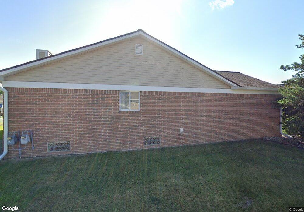
17658 Liberty Ln Unit 72 Brownstown, MI 48193
Estimated Value: $196,000 - $216,000
2
Beds
2
Baths
1,250
Sq Ft
$162/Sq Ft
Est. Value
About This Home
This home is located at 17658 Liberty Ln Unit 72, Brownstown, MI 48193 and is currently estimated at $203,118, approximately $162 per square foot. 17658 Liberty Ln Unit 72 is a home located in Wayne County with nearby schools including Gudith Elementary School, Patrick Henry Middle School, and Brownstown Middle School.
Ownership History
Date
Name
Owned For
Owner Type
Purchase Details
Closed on
Jun 20, 2008
Sold by
Mortgage Electronic Registration Systems
Bought by
The Bank Of New York Trust Co Na and Jpmorgan Chase Bank Na
Current Estimated Value
Purchase Details
Closed on
Apr 23, 2008
Sold by
Davenport Ava M
Bought by
Mortgage Electronic Registration Systems
Purchase Details
Closed on
Nov 28, 2005
Sold by
Davenport Ava
Bought by
Faithworks Investments Inc
Purchase Details
Closed on
May 20, 2005
Sold by
Zvanciuk George M and Zvanciuk Penny K
Bought by
Davenport Ava M
Purchase Details
Closed on
Feb 5, 2001
Sold by
Ghg Development Inc Llc
Bought by
Zvanciuk George M
Create a Home Valuation Report for This Property
The Home Valuation Report is an in-depth analysis detailing your home's value as well as a comparison with similar homes in the area
Home Values in the Area
Average Home Value in this Area
Purchase History
| Date | Buyer | Sale Price | Title Company |
|---|---|---|---|
| The Bank Of New York Trust Co Na | -- | E Title Agency | |
| Mortgage Electronic Registration Systems | $103,700 | None Available | |
| Faithworks Investments Inc | -- | Independence Title Corp | |
| Davenport Ava M | $134,000 | Multiple | |
| Zvanciuk George M | $132,738 | -- |
Source: Public Records
Tax History Compared to Growth
Tax History
| Year | Tax Paid | Tax Assessment Tax Assessment Total Assessment is a certain percentage of the fair market value that is determined by local assessors to be the total taxable value of land and additions on the property. | Land | Improvement |
|---|---|---|---|---|
| 2025 | $1,685 | $96,800 | $0 | $0 |
| 2024 | $1,685 | $91,000 | $0 | $0 |
| 2023 | $1,606 | $80,700 | $0 | $0 |
| 2022 | $2,484 | $68,100 | $0 | $0 |
| 2021 | $2,336 | $65,500 | $0 | $0 |
| 2020 | $2,288 | $64,800 | $0 | $0 |
| 2019 | $2,262 | $64,000 | $0 | $0 |
| 2018 | $1,402 | $51,800 | $0 | $0 |
| 2017 | $1,630 | $78,500 | $0 | $0 |
| 2016 | $2,168 | $55,900 | $0 | $0 |
| 2015 | $3,117 | $41,700 | $0 | $0 |
| 2013 | $3,020 | $31,800 | $0 | $0 |
| 2012 | -- | $29,800 | $8,500 | $21,300 |
Source: Public Records
Map
Nearby Homes
- 17763 Covey Ct
- 17157 Higdon Dr Unit 10
- 23089 Suffield Ln
- 23153 Suffield Ln
- 23504 Matts Dr Unit 66
- 17282 Oak Gove St Unit 309
- 23604 Matts Dr Unit 63
- 23654 Pine Dr Unit 201
- 23657 Hickory Dr Unit 214
- 23633 Hickory Dr Unit 211
- 23697 Hickory Dr Unit 219
- 17324 Oak Gove St Unit 300
- 23675 Maple Ln Unit 141
- 23678 Hickory Dr Unit 261
- 17501 Cedar Grove Unit 181
- 23686 Hickory Dr Unit 260
- 17528 Cedar Grove
- 0000 Allen Rd
- 17416 Oak Gove St Unit 287
- 16117 Jackson St
- 21809 Patriot Blvd Unit 42
- 21651 Adams Dr Unit 29
- 21699 Adams Dr
- 17678 Liberty Ln
- 17698 Liberty Ln
- 17688 Liberty Ln
- 17587 Liberty Ln Unit 60
- 21667 Adams Dr
- 21699 Adams Dr Unit 23
- 17678 Liberty Ln Unit 74
- 21698 Lincoln Dr
- 21698 Lincoln Dr Unit 45
- 21749 Lincoln Dr
- 21733 Lincoln Dr Unit 57
- 21717 Lincoln Dr
- 21669 Lincoln Dr Unit 53
- 21701 Lincoln Dr
- 21685 Lincoln Dr
- 21708 Adams Dr Unit 20
- 21724 Adams Dr Unit 21