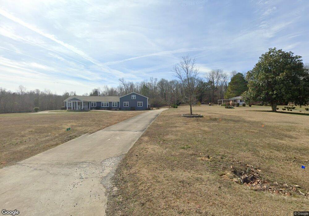
1766 Griffith Rd Colbert, GA 30628
Estimated Value: $269,582 - $323,000
Studio
2
Baths
1,690
Sq Ft
$179/Sq Ft
Est. Value
About This Home
This home is located at 1766 Griffith Rd, Colbert, GA 30628 and is currently estimated at $302,861, approximately $179 per square foot. 1766 Griffith Rd is a home located in Madison County with nearby schools including Madison County High School and Union Christian Academy.
Ownership History
Date
Name
Owned For
Owner Type
Purchase Details
Closed on
Mar 30, 2021
Sold by
Papics James F
Bought by
Papics James F and Papics Kentnor Deborah
Current Estimated Value
Purchase Details
Closed on
Jul 22, 2015
Sold by
Papics James Frank
Bought by
Papics James Frank and Papics Aima May
Purchase Details
Closed on
Jun 30, 1988
Sold by
Gay Jimmy A
Bought by
Papics James Frank and Alma May
Create a Home Valuation Report for This Property
The Home Valuation Report is an in-depth analysis detailing your home's value as well as a comparison with similar homes in the area
Purchase History
| Date | Buyer | Sale Price | Title Company |
|---|---|---|---|
| Papics James F | -- | -- | |
| Papics James Frank | -- | -- | |
| Papics James Frank | $57,500 | -- |
Source: Public Records
Tax History
| Year | Tax Paid | Tax Assessment Tax Assessment Total Assessment is a certain percentage of the fair market value that is determined by local assessors to be the total taxable value of land and additions on the property. | Land | Improvement |
|---|---|---|---|---|
| 2025 | $1,924 | $93,719 | $23,380 | $70,339 |
| 2024 | $18 | $90,662 | $23,380 | $67,282 |
| 2023 | $2,509 | $82,203 | $19,484 | $62,719 |
| 2022 | $1,390 | $68,400 | $13,394 | $55,006 |
| 2021 | $1,129 | $54,968 | $13,394 | $41,574 |
| 2020 | $1,322 | $53,020 | $11,446 | $41,574 |
| 2019 | $1,308 | $52,073 | $11,446 | $40,627 |
| 2018 | $1,242 | $49,836 | $10,472 | $39,364 |
| 2017 | $1,358 | $47,156 | $9,742 | $37,414 |
| 2016 | $881 | $40,708 | $9,742 | $30,966 |
| 2015 | $884 | $40,835 | $9,869 | $30,966 |
| 2014 | $956 | $43,200 | $11,428 | $31,772 |
| 2013 | -- | $43,200 | $11,428 | $31,772 |
Source: Public Records
Map
Nearby Homes
- 0 Stone Stewart Rd Unit 7519457
- 832 Stone Stewart Rd
- 1246 Stone Stewart Rd
- 9980 Nowhere Rd
- 136 Wedgewood Dr
- 975 Diamond Hill Neese Rd
- 3510 Booger Hill Rd
- 1067 Garnett Ward Rd Unit 2
- 310 Sawdust Rd
- 284 Snow Farm Rd
- 450 Candlestick Dr
- 471 Donald Smith Rd
- 3655 Neese Commerce Rd
- 0 Donald Smith Rd Unit 10691075
- 103 Three Rivers Ct
- 162 Oak View Dr
- 149 Candlestick Dr
- 357 Carither Rd
- 0 Rogers Mill Rd Unit 10691087
- 0 Rogers Mill Rd Unit 26346192
- 1794 Griffith Rd
- 0 Griffeth Rd
- 0 Griffith Rd
- 2039 Griffith Rd Unit 1
- 2040 Griffith Rd
- 1692 Griffith Rd
- 5391 Hwy 106s
- 2080 Griffith Rd
- 5391 Highway 106 S
- 2130 Griffith Rd
- 2130 Griffith Rd
- 273 Shady Ln
- 375 Stone Stewart Rd
- 2170 Griffith Rd
- 2170 Griffith Rd
- 362 Stone Stewart Rd
- 179 Shady Ln
- 385 Shady Ln
- 0 Cliff Griffith Rd
- 5321 Hwy 106s
Your Personal Tour Guide
Ask me questions while you tour the home.