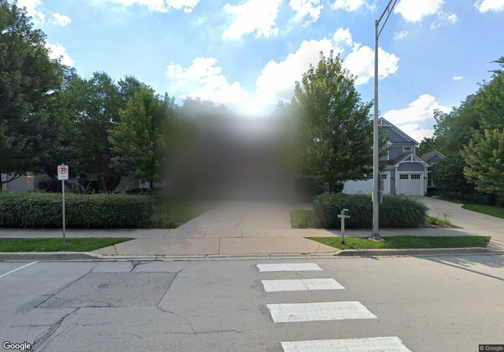
1766 Manchester Rd Wheaton, IL 60187
West Wheaton NeighborhoodEstimated Value: $731,000 - $878,000
3
Beds
3
Baths
2,963
Sq Ft
$274/Sq Ft
Est. Value
About This Home
This home is located at 1766 Manchester Rd, Wheaton, IL 60187 and is currently estimated at $812,834, approximately $274 per square foot. 1766 Manchester Rd is a home located in DuPage County with nearby schools including Clarence E Culver School, Emerson Elementary School, and Monroe Middle School.
Ownership History
Date
Name
Owned For
Owner Type
Purchase Details
Closed on
Apr 19, 2006
Sold by
Kingsland Homes Inc
Bought by
Becker James P and Becker Andrea M
Current Estimated Value
Home Financials for this Owner
Home Financials are based on the most recent Mortgage that was taken out on this home.
Original Mortgage
$350,000
Outstanding Balance
$202,523
Interest Rate
6.48%
Mortgage Type
Fannie Mae Freddie Mac
Estimated Equity
$610,311
Create a Home Valuation Report for This Property
The Home Valuation Report is an in-depth analysis detailing your home's value as well as a comparison with similar homes in the area
Home Values in the Area
Average Home Value in this Area
Purchase History
| Date | Buyer | Sale Price | Title Company |
|---|---|---|---|
| Becker James P | $550,000 | Ctic |
Source: Public Records
Mortgage History
| Date | Status | Borrower | Loan Amount |
|---|---|---|---|
| Open | Becker James P | $350,000 |
Source: Public Records
Tax History Compared to Growth
Tax History
| Year | Tax Paid | Tax Assessment Tax Assessment Total Assessment is a certain percentage of the fair market value that is determined by local assessors to be the total taxable value of land and additions on the property. | Land | Improvement |
|---|---|---|---|---|
| 2024 | $14,752 | $236,889 | $29,626 | $207,263 |
| 2023 | $14,195 | $218,050 | $27,270 | $190,780 |
| 2022 | $13,856 | $206,070 | $25,770 | $180,300 |
| 2021 | $13,814 | $201,180 | $25,160 | $176,020 |
| 2020 | $13,773 | $199,310 | $24,930 | $174,380 |
| 2019 | $13,463 | $194,050 | $24,270 | $169,780 |
| 2018 | $13,863 | $197,400 | $22,870 | $174,530 |
| 2017 | $13,665 | $190,120 | $22,030 | $168,090 |
| 2016 | $13,493 | $182,530 | $21,150 | $161,380 |
| 2015 | $13,401 | $174,140 | $20,180 | $153,960 |
| 2014 | $11,206 | $144,210 | $9,640 | $134,570 |
| 2013 | $10,918 | $144,640 | $9,670 | $134,970 |
Source: Public Records
Map
Nearby Homes
- 200 N Erie St
- 119 N Dorchester Ave
- 1321 W Liberty Dr
- 0S015 Cottonwood Dr
- 615 Polo Dr
- 0N042 Nepil Ave
- 505 S Knollwood Dr
- 26W278 Harrison Ave
- 2059 W Roosevelt Rd
- 1489 Woodcutter Ln Unit A
- 1785 Grosvenor Cir Unit A
- 0S064 Calvin Ct
- 1222 Champion Forest Ct
- 904 Dartmouth Dr
- 620 Crest St
- 906 W Roosevelt Rd
- 27W031 Cooley Ave
- S045 Pleasant Hill Rd
- 100 N Gary Ave Unit 304
- 1970 Wexford Cir
- 1762 Manchester Rd
- 1770 Manchester Rd
- 210 White Oak Dr
- 1745 Maple Leaf Ct
- 1830 Manchester Rd
- 206 White Oak Dr
- 214 White Oak Dr
- 1810 Manchester Rd
- 1765 Maple Leaf Ct
- 1725 Maple Leaf Ct
- 1820 Manchester Rd
- 1760 Maple Leaf Ct
- 209 White Oak Dr
- 213 White Oak Dr
- 205 White Oak Dr
- 217 White Oak Dr
- 201 White Oak Dr
- 1740 Maple Leaf Ct
- 130 White Oak Dr
- 1890 Manchester Rd
