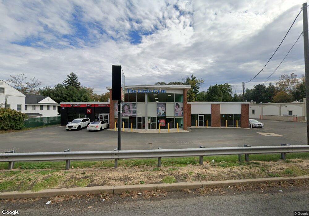
1766 Us Highway 22 Scotch Plains, NJ 07076
Estimated Value: $873,000
--
Bed
--
Bath
6,160
Sq Ft
$142/Sq Ft
Est. Value
About This Home
This home is located at 1766 Us Highway 22, Scotch Plains, NJ 07076 and is currently estimated at $873,000, approximately $141 per square foot. 1766 Us Highway 22 is a home with nearby schools including Howard B. Brunner Elementary School, Nettingham Middle School, and Scotch Plains-Fanwood High School.
Ownership History
Date
Name
Owned For
Owner Type
Purchase Details
Closed on
Mar 29, 2016
Sold by
Bernard R Lippman Trust
Bought by
1766 Route 22 Llc
Current Estimated Value
Home Financials for this Owner
Home Financials are based on the most recent Mortgage that was taken out on this home.
Original Mortgage
$500,000
Outstanding Balance
$397,220
Interest Rate
3.68%
Mortgage Type
Commercial
Estimated Equity
$270,781
Purchase Details
Closed on
Apr 21, 2011
Sold by
Lippman Myrna S
Bought by
Lippman Myrna S and Lippman Bernard R
Create a Home Valuation Report for This Property
The Home Valuation Report is an in-depth analysis detailing your home's value as well as a comparison with similar homes in the area
Home Values in the Area
Average Home Value in this Area
Purchase History
| Date | Buyer | Sale Price | Title Company |
|---|---|---|---|
| 1766 Route 22 Llc | $300,000 | -- | |
| Lippman Myrna S | -- | None Available |
Source: Public Records
Mortgage History
| Date | Status | Borrower | Loan Amount |
|---|---|---|---|
| Open | 1766 Route 22 Llc | $500,000 |
Source: Public Records
Tax History Compared to Growth
Tax History
| Year | Tax Paid | Tax Assessment Tax Assessment Total Assessment is a certain percentage of the fair market value that is determined by local assessors to be the total taxable value of land and additions on the property. | Land | Improvement |
|---|---|---|---|---|
| 2025 | $31,727 | $269,600 | $93,800 | $175,800 |
| 2024 | $30,791 | $269,600 | $93,800 | $175,800 |
| 2023 | $30,791 | $269,600 | $93,800 | $175,800 |
| 2022 | $30,424 | $269,600 | $93,800 | $175,800 |
| 2021 | $30,373 | $269,600 | $93,800 | $175,800 |
| 2020 | $30,228 | $269,600 | $93,800 | $175,800 |
| 2019 | $25,040 | $225,000 | $93,800 | $131,200 |
| 2018 | $24,620 | $225,000 | $93,800 | $131,200 |
| 2017 | $24,073 | $225,000 | $93,800 | $131,200 |
| 2016 | $27,303 | $260,200 | $93,800 | $166,400 |
| 2015 | $26,855 | $260,200 | $93,800 | $166,400 |
| 2014 | $25,971 | $260,200 | $93,800 | $166,400 |
Source: Public Records
Map
Nearby Homes
- 230 Pinehurst Ave
- 352 Myrtle Ave
- 1370 Johnston Dr
- 1152 Johnston Dr
- 121 Donato Cir
- 709 Donato Cir
- 802 Donato Cir Unit A1
- 2060 Mountain Ave
- 2085 Nicholl Ave
- 12 Mareu Dr
- 5 Cecilia Place
- 2227 Pine Terrace
- 10 Twin Brooks Ct
- 1455 Mccrea Place
- 1434 E 2nd St
- 1412 E 2nd St Unit 16
- 56-58 Raymond Ave
- 1368 E 2nd St
- 58 Raymond Ave
- 215 Katherine St
- 210 Haven Ave Unit 161
- 210 Haven Ave Unit 152
- 210 Haven Ave
- 220 Haven Ave
- 1771 Us Highway 22
- 224 Haven Ave
- 228 Haven Ave
- 209 Haven Ave
- 215 Haven Ave
- 219 Haven Ave
- 232 Haven Ave
- 1801 Us Highway 22
- 225 Haven Ave
- 213 Myrtle Ave
- 1800 Us Highway 22
- 236 Haven Ave
- 219 Myrtle Ave
- 210 Pinehurst Ave
- 229 Haven Ave
- 214 Pinehurst Ave