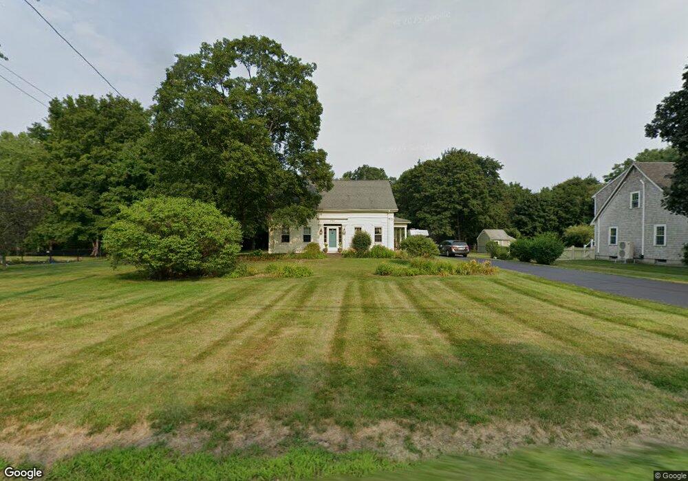
1766 West St Mansfield, MA 02048
Estimated Value: $660,000 - $736,000
4
Beds
3
Baths
1,963
Sq Ft
$353/Sq Ft
Est. Value
About This Home
This home is located at 1766 West St, Mansfield, MA 02048 and is currently estimated at $693,254, approximately $353 per square foot. 1766 West St is a home located in Bristol County with nearby schools including Everett W. Robinson Elementary School, Jordan/Jackson Elementary School, and Harold L. Qualters Middle School.
Ownership History
Date
Name
Owned For
Owner Type
Purchase Details
Closed on
Dec 3, 2013
Sold by
Reeves Diana O
Bought by
Diana O Reeves Lt
Current Estimated Value
Purchase Details
Closed on
Jan 21, 1985
Bought by
Lt Diana O Reeves
Create a Home Valuation Report for This Property
The Home Valuation Report is an in-depth analysis detailing your home's value as well as a comparison with similar homes in the area
Home Values in the Area
Average Home Value in this Area
Purchase History
| Date | Buyer | Sale Price | Title Company |
|---|---|---|---|
| Diana O Reeves Lt | -- | -- | |
| Lt Diana O Reeves | -- | -- |
Source: Public Records
Mortgage History
| Date | Status | Borrower | Loan Amount |
|---|---|---|---|
| Previous Owner | Lt Diana O Reeves | $100,000 | |
| Previous Owner | Lt Diana O Reeves | $75,000 | |
| Previous Owner | Lt Diana O Reeves | $64,500 |
Source: Public Records
Tax History Compared to Growth
Tax History
| Year | Tax Paid | Tax Assessment Tax Assessment Total Assessment is a certain percentage of the fair market value that is determined by local assessors to be the total taxable value of land and additions on the property. | Land | Improvement |
|---|---|---|---|---|
| 2025 | $7,121 | $540,700 | $242,900 | $297,800 |
| 2024 | $6,136 | $454,500 | $242,900 | $211,600 |
| 2023 | $5,673 | $402,600 | $242,900 | $159,700 |
| 2022 | $5,507 | $363,000 | $224,800 | $138,200 |
| 2021 | $6,047 | $393,700 | $196,800 | $196,900 |
| 2020 | $5,465 | $355,800 | $187,400 | $168,400 |
| 2019 | $5,663 | $372,100 | $156,100 | $216,000 |
| 2018 | $5,154 | $383,900 | $148,900 | $235,000 |
| 2017 | $5,074 | $337,800 | $144,700 | $193,100 |
| 2016 | $4,688 | $304,200 | $137,700 | $166,500 |
| 2015 | $4,715 | $304,200 | $137,700 | $166,500 |
Source: Public Records
Map
Nearby Homes
- 150 Gilbert St
- 24 Maverick Dr
- 255 Mckeon Dr
- 196 Donald Tennant Cir
- 4 Buckskin Dr
- 11 Landry Ave
- 115 Westfield Dr
- 116 George St
- 11 Buckthorn Ln
- 57 Vine St
- 5 Old Wood Rd
- 451R Gilbert St
- 176 Elm St
- Lot 5 Jeffrey Dr
- Lot 2 Jeffrey Dr
- 2 Oak St Unit 2D
- 2 Oak St Unit 2A
- 2 Oak St Unit 2C
- 2 Oak St Unit 2B
- 28 Messenger St