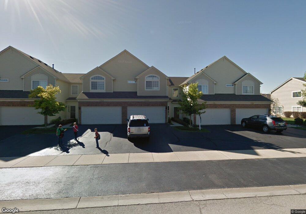
17665 Gilbert Dr Unit 2503D Lockport, IL 60441
Estimated Value: $285,748 - $293,000
2
Beds
2
Baths
1,393
Sq Ft
$208/Sq Ft
Est. Value
About This Home
This home is located at 17665 Gilbert Dr Unit 2503D, Lockport, IL 60441 and is currently estimated at $290,187, approximately $208 per square foot. 17665 Gilbert Dr Unit 2503D is a home located in Will County with nearby schools including William J. Butler, Hadley Middle School, and Homer Jr High School.
Ownership History
Date
Name
Owned For
Owner Type
Purchase Details
Closed on
Dec 19, 2003
Sold by
The Ryland Group Inc
Bought by
Brewster Crystal L
Current Estimated Value
Home Financials for this Owner
Home Financials are based on the most recent Mortgage that was taken out on this home.
Original Mortgage
$150,000
Outstanding Balance
$68,626
Interest Rate
6.04%
Mortgage Type
Purchase Money Mortgage
Estimated Equity
$221,561
Create a Home Valuation Report for This Property
The Home Valuation Report is an in-depth analysis detailing your home's value as well as a comparison with similar homes in the area
Home Values in the Area
Average Home Value in this Area
Purchase History
| Date | Buyer | Sale Price | Title Company |
|---|---|---|---|
| Brewster Crystal L | $161,500 | -- |
Source: Public Records
Mortgage History
| Date | Status | Borrower | Loan Amount |
|---|---|---|---|
| Open | Brewster Crystal L | $150,000 |
Source: Public Records
Tax History
| Year | Tax Paid | Tax Assessment Tax Assessment Total Assessment is a certain percentage of the fair market value that is determined by local assessors to be the total taxable value of land and additions on the property. | Land | Improvement |
|---|---|---|---|---|
| 2024 | $6,008 | $76,601 | $12,038 | $64,563 |
| 2023 | $6,008 | $69,435 | $10,912 | $58,523 |
| 2022 | $5,733 | $64,832 | $10,189 | $54,643 |
| 2021 | $5,273 | $61,423 | $9,653 | $51,770 |
| 2020 | $5,242 | $59,163 | $9,298 | $49,865 |
| 2019 | $5,034 | $56,915 | $8,945 | $47,970 |
| 2018 | $4,912 | $54,881 | $8,842 | $46,039 |
| 2017 | $4,828 | $53,344 | $8,594 | $44,750 |
| 2016 | $4,713 | $51,565 | $8,307 | $43,258 |
| 2015 | $4,578 | $49,629 | $7,995 | $41,634 |
| 2014 | $4,578 | $48,604 | $7,830 | $40,774 |
| 2013 | $4,578 | $48,604 | $7,830 | $40,774 |
Source: Public Records
Map
Nearby Homes
- 17543 S Gilbert Dr
- 17656 S Gilbert Dr
- 15880 W Bruce Rd
- 16414 Willow Walk Dr
- 17437 Yakima Dr
- 16125-45 Bruce Rd
- 17440 Yakima Dr
- 16007 W Bruce Rd
- 15959 Prairie View Ct Unit T6
- 15949 Prairie View Ct Unit T5
- 16510 Teton Dr
- 17259 Long Bow Dr
- 16704 W Natoma Dr
- 16440 W Cottonwood Dr
- 14847 S Hillside Dr
- 14845 S Hillside Dr
- 14805 S Hillside Dr
- 14801 S Hillside Dr
- 16731 W Natoma Dr
- 16738 W Natoma Dr
- 17663 Gilbert Dr Unit D
- 17667 Gilbert Dr Unit 2502D
- 17659 Gilbert Dr Unit 2506E
- 17667 S Gilbert Dr
- 17663 S Gilbert Dr Unit D
- 17669 S Gilbert Dr Unit 2501E
- 17668 Alta Dr
- 17666 Alta Dr Unit 2705D
- 17764 Alta Dr
- 17662 Alta Dr
- 17660 Alta Dr
- 17658 Alta Dr
- 17660 Alta Dr
- 17664 Alta Dr
- 17685 Gilbert Dr Unit 2604D
- 17683 Gilbert Dr Unit 2605L
- 17687 Gilbert Dr Unit 2603D
- 17689 Gilbert Dr Unit 2602D
Your Personal Tour Guide
Ask me questions while you tour the home.