1767 Delafield Dr Winter Garden, FL 34787
Estimated Value: $563,000 - $744,000
5
Beds
3
Baths
3,215
Sq Ft
$201/Sq Ft
Est. Value
About This Home
This home is located at 1767 Delafield Dr, Winter Garden, FL 34787 and is currently estimated at $647,053, approximately $201 per square foot. 1767 Delafield Dr is a home located in Orange County with nearby schools including Lake Whitney Elementary School, Sunridge Middle School, and West Orange High School.
Ownership History
Date
Name
Owned For
Owner Type
Purchase Details
Closed on
Mar 12, 2019
Sold by
King Dexter and King Vecheamony
Bought by
Reign Destined To
Current Estimated Value
Purchase Details
Closed on
Feb 15, 2012
Sold by
Trust #1767 and Fenn Denise A
Bought by
King Dexter and King Vecheamony
Purchase Details
Closed on
Nov 16, 2004
Sold by
Kb Home Orlando Llc
Bought by
King Dexter J and Lim Vecheamony
Home Financials for this Owner
Home Financials are based on the most recent Mortgage that was taken out on this home.
Original Mortgage
$52,992
Interest Rate
5.77%
Mortgage Type
Stand Alone Second
Create a Home Valuation Report for This Property
The Home Valuation Report is an in-depth analysis detailing your home's value as well as a comparison with similar homes in the area
Home Values in the Area
Average Home Value in this Area
Purchase History
| Date | Buyer | Sale Price | Title Company |
|---|---|---|---|
| Reign Destined To | $30,000 | None Available | |
| King Dexter | -- | None Available | |
| King Dexter J | $265,000 | First American Title Ins Co |
Source: Public Records
Mortgage History
| Date | Status | Borrower | Loan Amount |
|---|---|---|---|
| Previous Owner | King Dexter J | $52,992 |
Source: Public Records
Tax History
| Year | Tax Paid | Tax Assessment Tax Assessment Total Assessment is a certain percentage of the fair market value that is determined by local assessors to be the total taxable value of land and additions on the property. | Land | Improvement |
|---|---|---|---|---|
| 2025 | -- | $514,500 | -- | -- |
| 2024 | -- | $467,727 | -- | -- |
| 2023 | $0 | $474,202 | $115,000 | $359,202 |
| 2022 | $0 | $401,706 | $100,000 | $301,706 |
| 2021 | $0 | $319,464 | $55,000 | $264,464 |
| 2020 | $5,061 | $321,549 | $55,000 | $266,549 |
| 2019 | $3,994 | $279,069 | $0 | $0 |
| 2018 | $3,958 | $273,866 | $0 | $0 |
| 2017 | $3,853 | $269,526 | $45,000 | $224,526 |
| 2016 | $3,845 | $262,716 | $45,000 | $217,716 |
| 2015 | $4,229 | $256,353 | $45,000 | $211,353 |
| 2014 | $4,103 | $256,250 | $40,000 | $216,250 |
Source: Public Records
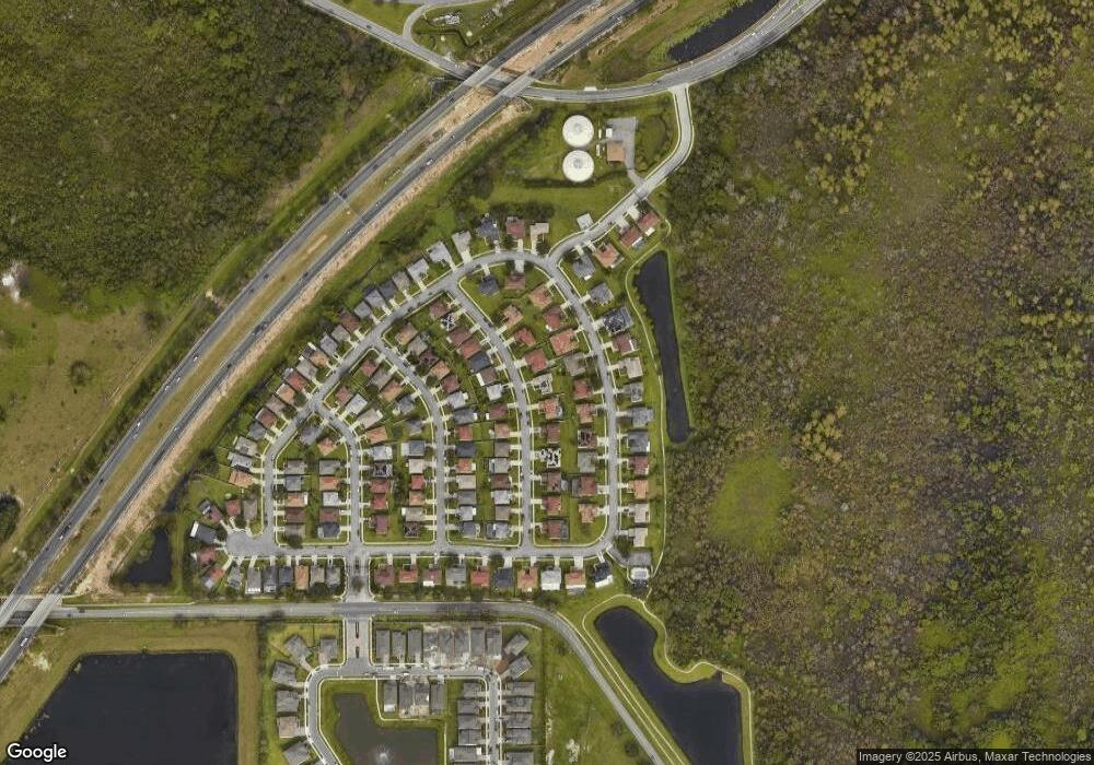
Map
Nearby Homes
- 1818 Morning Sky Dr
- 14345 Wabasso Loop
- 14327 Wabasso Loop
- 14423 Wabasso Loop
- 13900 Fox Glove St
- 14046 Fox Glove St
- 13722 Fox Glove St
- 2609 Slagrove Ct Unit 4
- 3029 Irish Peach Dr
- 3035 Irish Peach Dr
- 17311 Beachgrass Aly
- 17341 Beachgrass Aly
- 17100 Beachgrass Aly
- 17347 Beachgrass Aly
- 17335 Beachgrass Aly
- 17106 Beachgrass Aly
- 17606 Lake Star Rd
- 17552 Lake Star Rd
- 17317 Beachgrass Aly
- 14007 Eylewood Dr
- 1809 Delafield Dr
- 1761 Delafield Dr
- 14827 Tullamore Loop
- 14833 Tullamore Loop
- 14821 Tullamore Loop
- 1815 Delafield Dr
- 14845 Tullamore Loop
- 1755 Delafield Dr
- 1766 Delafield Dr
- 1808 Delafield Dr
- 1760 Delafield Dr
- 14815 Tullamore Loop
- 14851 Tullamore Loop
- 1754 Delafield Dr
- 1827 Delafield Dr
- 1749 Delafield Dr
- 1820 Delafield Dr
- 1748 Delafield Dr
- 1781 Morning Sky Dr
- 1807 Morning Sky Dr
Your Personal Tour Guide
Ask me questions while you tour the home.