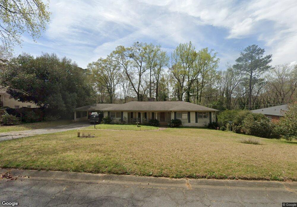
1767 Lincoln Cir Macon, GA 31211
Shirley Hills Historic District NeighborhoodEstimated Value: $215,000 - $259,000
3
Beds
2
Baths
2,148
Sq Ft
$112/Sq Ft
Est. Value
About This Home
This home is located at 1767 Lincoln Cir, Macon, GA 31211 and is currently estimated at $240,751, approximately $112 per square foot. 1767 Lincoln Cir is a home located in Bibb County with nearby schools including Martin Luther King Jr. Elementary School, Appling Middle School, and Northeast High School.
Ownership History
Date
Name
Owned For
Owner Type
Purchase Details
Closed on
Apr 13, 2009
Sold by
Moore Natalie N and Norris Eloise Mccardle
Bought by
Cotton Keith L and Cotton Rashida W
Current Estimated Value
Home Financials for this Owner
Home Financials are based on the most recent Mortgage that was taken out on this home.
Original Mortgage
$127,645
Outstanding Balance
$81,208
Interest Rate
5.14%
Mortgage Type
FHA
Estimated Equity
$159,543
Create a Home Valuation Report for This Property
The Home Valuation Report is an in-depth analysis detailing your home's value as well as a comparison with similar homes in the area
Home Values in the Area
Average Home Value in this Area
Purchase History
| Date | Buyer | Sale Price | Title Company |
|---|---|---|---|
| Cotton Keith L | $130,000 | None Available |
Source: Public Records
Mortgage History
| Date | Status | Borrower | Loan Amount |
|---|---|---|---|
| Open | Cotton Keith L | $127,645 |
Source: Public Records
Tax History Compared to Growth
Tax History
| Year | Tax Paid | Tax Assessment Tax Assessment Total Assessment is a certain percentage of the fair market value that is determined by local assessors to be the total taxable value of land and additions on the property. | Land | Improvement |
|---|---|---|---|---|
| 2025 | $1,811 | $80,690 | $12,480 | $68,210 |
| 2024 | $1,798 | $77,810 | $9,600 | $68,210 |
| 2023 | $1,834 | $68,913 | $9,600 | $59,313 |
| 2022 | $2,344 | $74,695 | $9,371 | $65,324 |
| 2021 | $2,184 | $64,472 | $8,519 | $55,953 |
| 2020 | $1,948 | $57,174 | $8,519 | $48,655 |
| 2019 | $1,868 | $54,721 | $8,093 | $46,628 |
| 2018 | $2,747 | $49,814 | $7,241 | $42,573 |
| 2017 | $1,604 | $49,814 | $7,241 | $42,573 |
| 2016 | $1,511 | $50,666 | $8,093 | $42,573 |
| 2015 | $2,139 | $50,666 | $8,093 | $42,573 |
| 2014 | $3,844 | $74,330 | $19,594 | $54,736 |
Source: Public Records
Map
Nearby Homes
- 1485 Lone Oak Dr
- 1735 Foster Place
- 1831 Upper River Rd
- 1715 Foster Place
- 1746 Upper River Rd
- 1585 Engle Dr
- 1615 Engle Dr
- 1916 Flintwood Dr
- 1964 Woodland Dr
- 1575 Briarcliff Rd
- 1957 Deerwood Place
- 1949 Deerwood Place
- 1435 Twin Pines Dr
- 1728 Waverland Cir
- 1965 Deerwood Place
- 1755 Waverland Cir
- 1464 Twin Pines Dr
- 1761 Lincoln Cir
- 1773 Lincoln Cir
- 0 Lincoln Cir Unit 8216496
- 0 Lincoln Cir Unit 7577748
- 0 Lincoln Cir Unit 9027337
- 1575 Lone Oak Dr
- 1755 Lincoln Cir
- 1755 Lincoln Cir Unit 101
- 1770 Lincoln Cir Unit 41&PT 40
- 1770 Lincoln Cir
- 1779 Lincoln Cir
- 1808 Lincoln Rd
- 1808 Lincoln Rd Unit 32
- 1569 Lone Oak Dr
- 1819 Lincoln Rd
- 1731 Twin Pines Dr
- 1790 Lincoln Cir
- 1749 Lincoln Cir
- 1788 Lincoln Cir
- 1820 Lincoln Rd