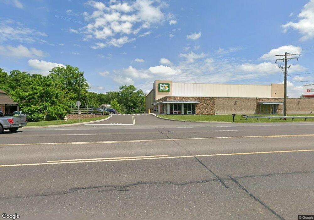
1767 S Easton Rd Doylestown, PA 18901
Estimated Value: $678,000
2
Beds
1
Bath
24,300
Sq Ft
$28/Sq Ft
Est. Value
About This Home
This home is located at 1767 S Easton Rd, Doylestown, PA 18901 and is currently priced at $678,000, approximately $27 per square foot. 1767 S Easton Rd is a home located in Bucks County with nearby schools including Bridge Valley Elementary School, Lenape Middle School, and Central Bucks High School-West.
Ownership History
Date
Name
Owned For
Owner Type
Purchase Details
Closed on
Feb 14, 2018
Sold by
Metro Storage Doylestown Llc
Bought by
Doylestown Township
Current Estimated Value
Purchase Details
Closed on
Oct 19, 2016
Sold by
Carosi Anthonio J and Carosi Josephine M
Bought by
Metro Storage Doylestown Llc
Purchase Details
Closed on
Jun 28, 1974
Sold by
Geerlings Nicholas H and Geerlings Afra
Bought by
Carosi Antonio J and Carosi Josephine M
Create a Home Valuation Report for This Property
The Home Valuation Report is an in-depth analysis detailing your home's value as well as a comparison with similar homes in the area
Home Values in the Area
Average Home Value in this Area
Purchase History
| Date | Buyer | Sale Price | Title Company |
|---|---|---|---|
| Doylestown Township | -- | None Available | |
| Doylestown Township Municpal Authority | -- | None Available | |
| Metro Storage Doylestown Llc | $750,000 | None Available | |
| Carosi Antonio J | -- | -- |
Source: Public Records
Tax History Compared to Growth
Tax History
| Year | Tax Paid | Tax Assessment Tax Assessment Total Assessment is a certain percentage of the fair market value that is determined by local assessors to be the total taxable value of land and additions on the property. | Land | Improvement |
|---|---|---|---|---|
| 2025 | $133,943 | $756,890 | $67,200 | $689,690 |
| 2024 | $133,943 | $756,890 | $67,200 | $689,690 |
| 2023 | $127,718 | $756,890 | $67,200 | $689,690 |
| 2022 | $126,295 | $756,890 | $67,200 | $689,690 |
| 2021 | $123,695 | $756,890 | $67,200 | $689,690 |
| 2020 | $8,199 | $50,400 | $50,400 | $0 |
| 2019 | $1,856 | $50,400 | $50,400 | $0 |
| 2018 | $8,085 | $50,400 | $50,400 | $0 |
| 2017 | $11,262 | $71,200 | $40,320 | $30,880 |
| 2016 | $11,262 | $71,200 | $40,320 | $30,880 |
| 2015 | -- | $71,200 | $40,320 | $30,880 |
| 2014 | -- | $71,200 | $40,320 | $30,880 |
Source: Public Records
Map
Nearby Homes
- 125 Edison Furlong Rd
- 60 Quarry Rd
- 1 Squirrel Rd
- 45 Bedford Ave
- 17 Addison Ct Unit 2703
- 82 Avalon Ct Unit 2005
- 137 Pebble Woods Dri Pebble Woods Dr
- 2385 Waverly Dr
- 1249 Pebble Hill Rd
- 420 Edison Furlong Rd
- 78 Tower Hill Rd
- 2320 Turk Rd
- 222 Windsor Way
- 21 Shady Springs Dr
- 612 Bethel Ln Unit THE ROOSEVELT PLAN
- 272 Fox Chase Ln
- 100 Ginko St Unit 202
- 2018 Buckingham Dr
- The Eisenhower Plan at The Meadows at Warrington Ridge
- The Truman Plan at The Meadows at Warrington Ridge