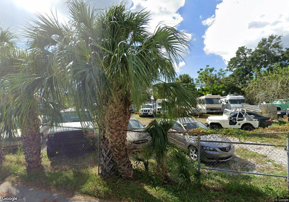
1767 Snug Harbor Place Sarasota, FL 34234
Downtown Sarasota NeighborhoodEstimated Value: $192,738
--
Bed
--
Bath
--
Sq Ft
0.36
Acres
About This Home
This home is located at 1767 Snug Harbor Place, Sarasota, FL 34234 and is currently estimated at $192,738. 1767 Snug Harbor Place is a home located in Sarasota County with nearby schools including Emma E. Booker Elementary School, Booker Middle School, and Sarasota High School.
Ownership History
Date
Name
Owned For
Owner Type
Purchase Details
Closed on
Jun 1, 2023
Sold by
Smally Family Land Corporation
Bought by
Elia Patrick W and Elia Mary Mae
Current Estimated Value
Home Financials for this Owner
Home Financials are based on the most recent Mortgage that was taken out on this home.
Original Mortgage
$185,000
Outstanding Balance
$109,036
Interest Rate
6.43%
Mortgage Type
Construction
Estimated Equity
$83,702
Purchase Details
Closed on
Dec 20, 2010
Sold by
Superior Bank
Bought by
Smally Family Land Corp
Purchase Details
Closed on
Apr 23, 2009
Sold by
Ken & Nick Llc
Bought by
Superior Bank
Purchase Details
Closed on
Sep 15, 2004
Sold by
Hopkins F Thomas
Bought by
Ken & Nick Llc
Home Financials for this Owner
Home Financials are based on the most recent Mortgage that was taken out on this home.
Original Mortgage
$160,000
Interest Rate
12%
Mortgage Type
Commercial
Create a Home Valuation Report for This Property
The Home Valuation Report is an in-depth analysis detailing your home's value as well as a comparison with similar homes in the area
Home Values in the Area
Average Home Value in this Area
Purchase History
| Date | Buyer | Sale Price | Title Company |
|---|---|---|---|
| Elia Patrick W | $200,000 | None Listed On Document | |
| Smally Family Land Corp | $75,000 | Attorney | |
| Superior Bank | $265,500 | Attorney | |
| Ken & Nick Llc | $150,000 | -- |
Source: Public Records
Mortgage History
| Date | Status | Borrower | Loan Amount |
|---|---|---|---|
| Open | Elia Patrick W | $185,000 | |
| Previous Owner | Ken & Nick Llc | $160,000 |
Source: Public Records
Tax History Compared to Growth
Tax History
| Year | Tax Paid | Tax Assessment Tax Assessment Total Assessment is a certain percentage of the fair market value that is determined by local assessors to be the total taxable value of land and additions on the property. | Land | Improvement |
|---|---|---|---|---|
| 2024 | $2,325 | $271,500 | $266,900 | $4,600 |
| 2023 | $2,325 | $273,100 | $268,300 | $4,800 |
| 2022 | $1,794 | $193,200 | $188,300 | $4,900 |
| 2021 | $1,248 | $99,200 | $94,100 | $5,100 |
| 2020 | $1,093 | $80,600 | $75,300 | $5,300 |
| 2019 | $1,069 | $80,800 | $75,300 | $5,500 |
| 2018 | $956 | $69,500 | $66,900 | $2,600 |
| 2017 | $945 | $64,614 | $0 | $0 |
| 2016 | $927 | $69,700 | $66,900 | $2,800 |
| 2015 | $802 | $53,400 | $50,500 | $2,900 |
| 2014 | $780 | $51,500 | $0 | $0 |
Source: Public Records
Map
Nearby Homes
- 1460 17th St
- 2251 19th St
- 2395 19th St
- .31 ac - 21st St
- 2519 21st St
- 0 Vilas Ave
- 2005 Gillespie Ave
- 2633 21st St
- 2323 10th St
- 2320 N Euclid Ave
- 912 La Costa Cir Unit 3
- 924 La Costa Cir Unit 8
- 924 La Costa Cir Unit 4
- 930 La Costa Cir Unit 3
- 1903 24th St
- 900 La Costa Cir Unit 6
- 900 La Costa Cir Unit 4
- 2255 Chester Ave
- 2942 Pershing Ave
- 2050 10th St
- 2744 17th St
- 2239 19th St
- 2253 19th St
- 2255 19th St
- 2219 19th St
- 2263 Sophie Springer Ln Unit 7
- 2269 Sophie Springer Ln Unit 6
- 2275 Sophie Springer Ln Unit 5
- 2257 Sophie Springer Ln Unit 8
- 2251 Sophie Springer Ln Unit 9
- 1900 N Lime Ave
- 2281 Sophie Springer Ln Unit 4
- 2245 Sophie Springer Ln Unit 10
- 2287 Sophie Springer Ln Unit 3
- 2287 Sophie Springer Ln
- 2293 Sophie Springer Ln
- 2293 Sophie Springer Ln Unit 2
- 2299 Sophie Springer Ln Unit 1
- 2299 Sophie Springer Ln
- 1910 N Lime Ave