1767 Thompson Rd Dawsonville, GA 30534
Dawson County NeighborhoodEstimated Value: $304,000 - $363,000
3
Beds
2
Baths
1,392
Sq Ft
$243/Sq Ft
Est. Value
About This Home
This home is located at 1767 Thompson Rd, Dawsonville, GA 30534 and is currently estimated at $338,885, approximately $243 per square foot. 1767 Thompson Rd is a home located in Dawson County with nearby schools including Riverview Elementary School, Dawson County Middle School, and Dawson County Junior High School.
Ownership History
Date
Name
Owned For
Owner Type
Purchase Details
Closed on
Jul 11, 2012
Sold by
Martin Roger Billy
Bought by
Carlton Vonnie
Current Estimated Value
Home Financials for this Owner
Home Financials are based on the most recent Mortgage that was taken out on this home.
Original Mortgage
$77,600
Outstanding Balance
$53,693
Interest Rate
3.72%
Mortgage Type
New Conventional
Estimated Equity
$285,192
Purchase Details
Closed on
May 3, 2007
Sold by
Thomason Jeremy D
Bought by
Martin Roger Billy
Purchase Details
Closed on
May 18, 2006
Sold by
Thomason Kathy A
Bought by
Thomason Jeremy D
Purchase Details
Closed on
Mar 18, 1997
Sold by
Thomason Jeremy D
Bought by
Thomason Jeremy D
Purchase Details
Closed on
Jul 29, 1967
Bought by
Thomason Jeremy D
Create a Home Valuation Report for This Property
The Home Valuation Report is an in-depth analysis detailing your home's value as well as a comparison with similar homes in the area
Home Values in the Area
Average Home Value in this Area
Purchase History
| Date | Buyer | Sale Price | Title Company |
|---|---|---|---|
| Carlton Vonnie | $100,000 | -- | |
| Martin Roger Billy | $120,000 | -- | |
| Thomason Jeremy D | -- | -- | |
| Thomason Jeremy D | -- | -- | |
| Thomason Jeremy D | -- | -- |
Source: Public Records
Mortgage History
| Date | Status | Borrower | Loan Amount |
|---|---|---|---|
| Open | Carlton Vonnie | $77,600 |
Source: Public Records
Tax History Compared to Growth
Tax History
| Year | Tax Paid | Tax Assessment Tax Assessment Total Assessment is a certain percentage of the fair market value that is determined by local assessors to be the total taxable value of land and additions on the property. | Land | Improvement |
|---|---|---|---|---|
| 2024 | $1,819 | $108,708 | $25,200 | $83,508 |
| 2023 | $1,768 | $104,628 | $19,200 | $85,428 |
| 2022 | $1,422 | $66,364 | $13,360 | $53,004 |
| 2021 | $1,264 | $55,872 | $13,360 | $42,512 |
| 2020 | $1,273 | $53,792 | $13,040 | $40,752 |
| 2019 | $1,093 | $45,792 | $13,040 | $32,752 |
Source: Public Records
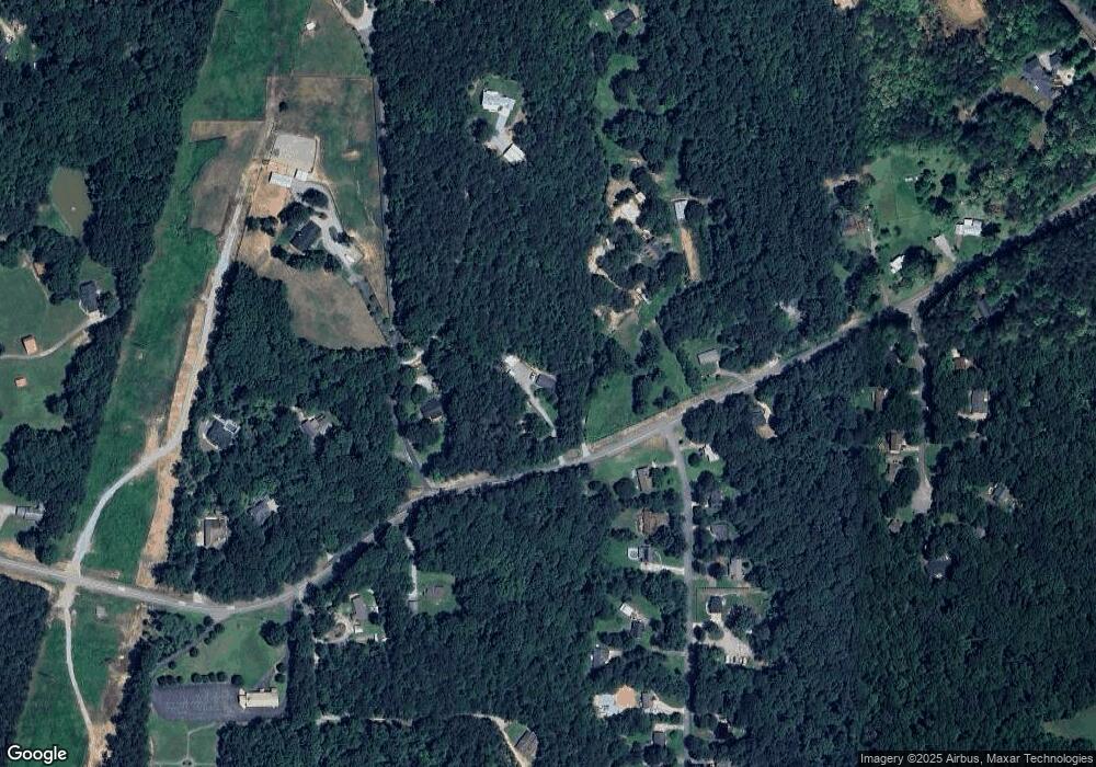
Map
Nearby Homes
- 1567 Thompson Rd
- 64 Wehunt Rd
- 204 Hugh Stowers Rd
- 115 Rabbit Run
- 270 Clifton Dr
- 3828 Highway 53 E
- 554 Vandiviere Rd
- 0 Mountain Brook Rd Unit 7614426
- 0 Mountain Brook Rd Unit 10571981
- 0 Mountain Brook Rd Unit 7614434
- 0 Mountain Brook Rd Unit 10570759
- 566 Etowah River Rd
- 301 Collins Rd
- LL247 Grizzle Rd
- 305 Mountain Brook Rd
- 74 E Gate Dr
- 65 Columbine Glade
- 70 Goldenrod Overlook
- 20 River Oak Dr
- 0 Ratcliff Dr
- 00 Ratcliff Dr
- 0 Ratcliff Dr Unit 8254626
- 0 Ratcliff Dr Unit 7215584
- 0 Ratcliff Dr Unit 8329473
- 118 Saddle Creek Dr
- 46 River Oak Dr
- 19 River Oak Dr
- 76 River Oak Dr
- 43 River Oak Dr
- 49 River Oak Dr
- 1868 Thompson Rd
- 23 Ratcliff Dr
- 118 River Oak Dr
- 120 River Oak Dr
- 99 River Oak Dr
- 149 Ratcliff Dr
- 81 River Oak Dr
- 1585 Thompson Rd