17670 Wing Rd Chagrin Falls, OH 44023
Estimated Value: $318,150 - $434,000
3
Beds
2
Baths
1,636
Sq Ft
$225/Sq Ft
Est. Value
About This Home
This home is located at 17670 Wing Rd, Chagrin Falls, OH 44023 and is currently estimated at $368,038, approximately $224 per square foot. 17670 Wing Rd is a home located in Geauga County with nearby schools including Timmons Elementary School, Kenston Intermediate School, and Kenston Middle School.
Ownership History
Date
Name
Owned For
Owner Type
Purchase Details
Closed on
Dec 19, 2014
Sold by
King Nancy R
Bought by
Fee Traci R
Current Estimated Value
Home Financials for this Owner
Home Financials are based on the most recent Mortgage that was taken out on this home.
Original Mortgage
$152,000
Outstanding Balance
$116,731
Interest Rate
3.99%
Mortgage Type
New Conventional
Estimated Equity
$251,307
Purchase Details
Closed on
Jan 1, 1990
Bought by
Stepic Albert M
Create a Home Valuation Report for This Property
The Home Valuation Report is an in-depth analysis detailing your home's value as well as a comparison with similar homes in the area
Home Values in the Area
Average Home Value in this Area
Purchase History
| Date | Buyer | Sale Price | Title Company |
|---|---|---|---|
| Fee Traci R | $190,000 | Attorney | |
| Stepic Albert M | -- | -- |
Source: Public Records
Mortgage History
| Date | Status | Borrower | Loan Amount |
|---|---|---|---|
| Open | Fee Traci R | $152,000 |
Source: Public Records
Tax History Compared to Growth
Tax History
| Year | Tax Paid | Tax Assessment Tax Assessment Total Assessment is a certain percentage of the fair market value that is determined by local assessors to be the total taxable value of land and additions on the property. | Land | Improvement |
|---|---|---|---|---|
| 2024 | $4,532 | $93,450 | $24,780 | $68,670 |
| 2023 | $4,532 | $93,450 | $24,780 | $68,670 |
| 2022 | $3,955 | $68,430 | $19,670 | $48,760 |
| 2021 | $3,969 | $68,430 | $19,670 | $48,760 |
| 2020 | $4,082 | $68,430 | $19,670 | $48,760 |
| 2019 | $3,866 | $61,360 | $19,670 | $41,690 |
| 2018 | $3,866 | $61,360 | $19,670 | $41,690 |
| 2017 | $3,866 | $61,360 | $19,670 | $41,690 |
| 2016 | $3,821 | $59,540 | $19,670 | $39,870 |
| 2015 | $3,825 | $59,540 | $19,670 | $39,870 |
| 2014 | $2,967 | $59,540 | $19,670 | $39,870 |
| 2013 | $2,887 | $59,540 | $19,670 | $39,870 |
Source: Public Records
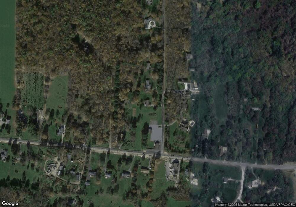
Map
Nearby Homes
- 11060 Taylor May Rd
- 10881 Stafford Rd
- 16970 Auburn Rd
- lot 2 Stafford Rd
- lot 1 Stafford Rd
- 9769 Washington St
- 9765 Washington St
- VL Stafford Rd
- 18420 May Ct
- 0 Bartholomew Rd Unit 21957397
- 11611 E Washington St
- SL 6 Staffordshire Ct
- 16770 Staffordshire Ct
- 0 E Washington East of 11700 Unit 5032508
- 0 E Washington East of 11700 Unit 5032518
- 9836 Cleveland Dr
- 16830 Lucky Bell Ln
- 18040 Ravenna Rd
- 18945 Thorpe Rd
- 9800 North Blvd
- 17650 Wing Rd
- 17630 Wing Rd
- 17707 Wing Rd
- 17655 Wing Rd
- 10576 Washington St
- 17610 Wing Rd
- 17625 Wing Rd
- 10638 Washington St
- 10538 Washington St
- 10579 Washington St
- 10563 Washington St
- 10545 Washington St
- 17580 Wing Rd
- 17605 Wing Rd
- 10548 Washington St
- 10617 Washington St
- 10531 Washington St
- 10656 E Washington St
- 10656 Washington St
- 10520 Washington St