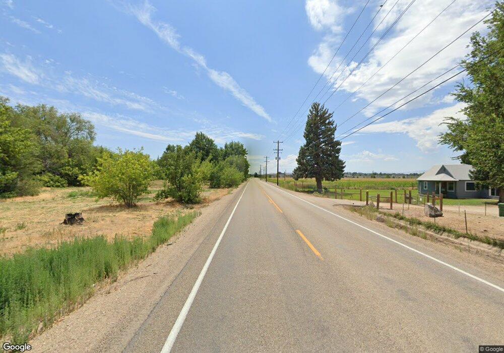
Estimated Value: $2,066,765
--
Bed
--
Bath
--
Sq Ft
38.92
Acres
About This Home
This home is located at 17672 N Can-Ada Rd, Nampa, ID 83687 and is currently priced at $2,066,765. 17672 N Can-Ada Rd is a home located in Canyon County with nearby schools including East Canyon Elementary School, Sage Valley Middle School, and Ridgevue High School.
Ownership History
Date
Name
Owned For
Owner Type
Purchase Details
Closed on
Jan 11, 2022
Sold by
Ltd Stro Llc
Bought by
Intermountain Pacific Llc
Current Estimated Value
Home Financials for this Owner
Home Financials are based on the most recent Mortgage that was taken out on this home.
Original Mortgage
$1,500,000
Outstanding Balance
$1,005,097
Interest Rate
3.22%
Mortgage Type
New Conventional
Purchase Details
Closed on
Oct 23, 2007
Sold by
Burkey Denice R
Bought by
Ltd Stro Llc
Purchase Details
Closed on
Apr 25, 2007
Sold by
Hill Marlin C
Bought by
Denice R Burkey Separate Property Trust and Burkey Denice R
Purchase Details
Closed on
Jan 2, 2007
Sold by
Hill Elton D
Bought by
Burkey Denice R and Hill Marlin C
Create a Home Valuation Report for This Property
The Home Valuation Report is an in-depth analysis detailing your home's value as well as a comparison with similar homes in the area
Home Values in the Area
Average Home Value in this Area
Purchase History
| Date | Buyer | Sale Price | Title Company |
|---|---|---|---|
| Intermountain Pacific Llc | -- | New Title Company Name | |
| Ltd Stro Llc | -- | Title One | |
| Denice R Burkey Separate Property Trust | -- | None Available | |
| Burkey Denice R | -- | None Available |
Source: Public Records
Mortgage History
| Date | Status | Borrower | Loan Amount |
|---|---|---|---|
| Open | Intermountain Pacific Llc | $1,500,000 |
Source: Public Records
Tax History Compared to Growth
Tax History
| Year | Tax Paid | Tax Assessment Tax Assessment Total Assessment is a certain percentage of the fair market value that is determined by local assessors to be the total taxable value of land and additions on the property. | Land | Improvement |
|---|---|---|---|---|
| 2025 | $353 | $78,470 | $78,470 | -- |
| 2024 | $353 | $83,630 | $83,630 | -- |
| 2023 | $400 | $89,150 | $89,150 | $0 |
| 2022 | $370 | $86,570 | $86,570 | $0 |
| 2021 | $566 | $80,680 | $80,680 | $0 |
| 2020 | $661 | $76,520 | $76,520 | $0 |
| 2019 | $755 | $77,180 | $77,180 | $0 |
| 2018 | $837 | $0 | $0 | $0 |
| 2017 | $834 | $0 | $0 | $0 |
| 2016 | $785 | $0 | $0 | $0 |
| 2015 | $671 | $0 | $0 | $0 |
| 2014 | $608 | $52,110 | $52,110 | $0 |
Source: Public Records
Map
Nearby Homes
- 5528 E Garby St Unit Lot 16 Block 7
- 6238 E Canyon Crossing Dr
- 5586 Lekeitio Village Dr Unit Lot 7 Block 8
- 5550 Lekeitio Village Dr Unit Lot 10 Block 8
- 5562 Lekeitio Village Dr Unit Lot 9 Block 8
- 5622 E Lekeitio Village Dr Unit Lot 4 Block 8
- 5585 Lekeitio Village Dr Unit Lot 36 Block 5
- 5549 Lekeitio Village Dr Unit Lot 33 Block 5
- 5584 E Arrosa St Unit Lot 29 Block 5
- 5633 E Lekeitio Village Dr Unit Lot 41 Block 5
- 5621 E Lekeitio Village Dr
- 5598 E Lekeitio Village Dr
- 5597 E Lekeitio Village Dr
- 5597 E Lekeitio Village Dr Unit Lot 37 Block 5
- The Edgewood Plan at Lekeitio Village
- The Umpqua Plan at Lekeitio Village
- The Pacific Plan at Lekeitio Village
- The Orchard Encore Plan at Lekeitio Village
- The Hudson Plan at Lekeitio Village
- The Orchard Plan at Lekeitio Village
- 17672 N Can-Ada Rd
- 17672 Can Ada Rd
- 17637 Can Ada Rd
- 17649 Can Ada Rd
- 17572 Can Ada Rd
- 17572 Can Ada Rd
- 17768 Can Ada Rd
- 17661 Can Ada Rd
- 17532 Can Ada Rd
- 6038 E Mayfield Dr
- 6050 E Mayfield Dr
- 6062 E Mayfield Dr
- 17476 N Endurance Ave
- 17466 Can Ada Rd
- 17462 N Endurance Ave
- 6074 E Mayfield Dr
- 6086 E Mayfield Dr
- 17448 N Endurance Ave
- 17448 N Endurance Ave
- 6110 E Mayfield Dr
