1768 County Road 381 S Cleveland, TX 77328
Estimated Value: $175,520 - $209,000
--
Bed
1
Bath
1,356
Sq Ft
$145/Sq Ft
Est. Value
About This Home
This home is located at 1768 County Road 381 S, Cleveland, TX 77328 and is currently estimated at $196,130, approximately $144 per square foot. 1768 County Road 381 S is a home located in Liberty County with nearby schools including Northside Elementary School, Cleveland Middle School, and Cleveland High School.
Ownership History
Date
Name
Owned For
Owner Type
Purchase Details
Closed on
Aug 4, 2005
Sold by
Howard Freddy Ray
Bought by
Smith Larry Gilbert and Smith Martha Raye
Current Estimated Value
Home Financials for this Owner
Home Financials are based on the most recent Mortgage that was taken out on this home.
Original Mortgage
$32,000
Interest Rate
7.5%
Mortgage Type
Non Purchase Money Mortgage
Create a Home Valuation Report for This Property
The Home Valuation Report is an in-depth analysis detailing your home's value as well as a comparison with similar homes in the area
Home Values in the Area
Average Home Value in this Area
Purchase History
| Date | Buyer | Sale Price | Title Company |
|---|---|---|---|
| Smith Larry Gilbert | -- | None Available |
Source: Public Records
Mortgage History
| Date | Status | Borrower | Loan Amount |
|---|---|---|---|
| Closed | Smith Larry Gilbert | $32,000 |
Source: Public Records
Tax History Compared to Growth
Tax History
| Year | Tax Paid | Tax Assessment Tax Assessment Total Assessment is a certain percentage of the fair market value that is determined by local assessors to be the total taxable value of land and additions on the property. | Land | Improvement |
|---|---|---|---|---|
| 2025 | $2,423 | $161,150 | $89,750 | $71,400 |
| 2024 | $2,423 | $162,200 | $89,750 | $72,450 |
| 2023 | $2,423 | $148,910 | $79,900 | $69,010 |
| 2022 | $2,115 | $125,000 | $60,980 | $64,020 |
| 2021 | $1,970 | $109,190 | $53,300 | $55,890 |
| 2020 | $1,845 | $95,880 | $44,330 | $51,550 |
| 2019 | $1,714 | $85,960 | $33,360 | $52,600 |
| 2018 | $1,614 | $80,930 | $30,360 | $50,570 |
| 2017 | $1,399 | $71,420 | $24,890 | $46,530 |
| 2016 | $1,142 | $58,290 | $12,430 | $45,860 |
| 2015 | -- | $55,510 | $11,770 | $43,740 |
| 2014 | -- | $55,510 | $11,770 | $43,740 |
Source: Public Records
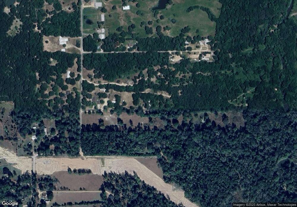
Map
Nearby Homes
- TBD Road 3813
- 1088 Road 5102
- 1435 Highway 59 S
- 1000 County Road 3081
- 1020 County Road 3081
- 1040 County Road 3081
- 1101 Cr 3802
- 585 County Road 3796
- 956 Road 3802
- 397 County Road 379
- 404 County Road 3295
- 384 County Road 3295
- 1164 County Road 332
- 1246 County Road 332
- 1244 County Road 332
- 9388 Highway 105
- 10205 Fostoria Rd
- 1244 Cr 332
- 510 County Road 320
- 10488 Fostoria Rd
- 1806 County Road 381 S
- 1760 County Road 381 S
- 1736 County Road 381 S Unit OAK
- 1736 County Road 381 S Unit OAK
- 00 County Road 3812
- 200 County Road 3812
- 1756 County Road 381 S
- 115 County Road 3812
- 51 Cr 3812
- 51 County Road 3812
- 1900 County Road 381 S
- 1765 County Road 381 S
- 1649 County Road 381 S
- 381 County Road 381
- 00 County Road 381
- 1599 County Road 381 S Unit OAK
- 1984 County Road 381 S Unit OAK
- 1442 County Road 381 S
- CR318 Cr318
- 1567 County Road 381 S Unit OAK