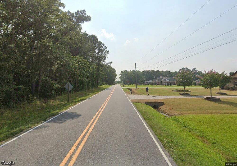
1768 Forlines Rd Grimesland, NC 27837
Estimated Value: $429,000 - $555,000
--
Bed
1
Bath
3,611
Sq Ft
$136/Sq Ft
Est. Value
About This Home
This home is located at 1768 Forlines Rd, Grimesland, NC 27837 and is currently estimated at $492,000, approximately $136 per square foot. 1768 Forlines Rd is a home with nearby schools including Creekside Elementary School, A.G. Cox Middle School, and South Central High School.
Ownership History
Date
Name
Owned For
Owner Type
Purchase Details
Closed on
Feb 8, 2023
Sold by
Kimberly Lee Pllc
Bought by
Bartays Enterprises Llc
Current Estimated Value
Purchase Details
Closed on
Mar 26, 2018
Sold by
Walling 3Rd Charles S and Walling Nita L
Bought by
Taborn Scottie D and Frazier-Tabourn Kizzie
Home Financials for this Owner
Home Financials are based on the most recent Mortgage that was taken out on this home.
Original Mortgage
$280,489
Interest Rate
4.4%
Mortgage Type
FHA
Create a Home Valuation Report for This Property
The Home Valuation Report is an in-depth analysis detailing your home's value as well as a comparison with similar homes in the area
Home Values in the Area
Average Home Value in this Area
Purchase History
| Date | Buyer | Sale Price | Title Company |
|---|---|---|---|
| Bartays Enterprises Llc | -- | -- | |
| Taborn Scottie D | $45,000 | -- |
Source: Public Records
Mortgage History
| Date | Status | Borrower | Loan Amount |
|---|---|---|---|
| Previous Owner | Taborn Scottie D | $280,489 |
Source: Public Records
Tax History Compared to Growth
Tax History
| Year | Tax Paid | Tax Assessment Tax Assessment Total Assessment is a certain percentage of the fair market value that is determined by local assessors to be the total taxable value of land and additions on the property. | Land | Improvement |
|---|---|---|---|---|
| 2025 | $4,152 | $556,057 | $73,000 | $483,057 |
| 2024 | $526 | $257,709 | $73,000 | $184,709 |
| 2023 | $273 | $32,600 | $32,600 | $0 |
| 2022 | $273 | $32,600 | $32,600 | $0 |
| 2021 | $273 | $32,600 | $32,600 | $0 |
| 2020 | $276 | $32,600 | $32,600 | $0 |
| 2019 | $276 | $32,600 | $32,600 | $0 |
| 2018 | $265 | $32,600 | $32,600 | $0 |
| 2017 | $265 | $32,600 | $32,600 | $0 |
| 2016 | $261 | $32,600 | $32,600 | $0 |
| 2015 | $197 | $24,760 | $24,760 | $0 |
| 2014 | $197 | $24,760 | $24,760 | $0 |
Source: Public Records
Map
Nearby Homes
- 1785 Forlines Rd
- Booth Plan at Dail Farm
- SALEM - DRHE Plan at Dail Farm
- Wilmington Plan at Dail Farm
- Hayden Plan at Dail Farm
- 1807 Branson Ct
- 1806 Branson Ct
- 1825 Branson Ct
- 1866 Branson Ct
- 1833 Branson Ct
- 1816 Branson Ct
- 1841 Branson Ct
- 1850 Branson Ct
- 1863 Branson Ct
- 1834 Branson Ct
- 1849 Branson Ct
- 1817 Branson Ct
- 1855 Branson Ct
- 0 Bell Arthur Rd
- 1627 Crawfords Pointe Dr
- 1762 Forlines Rd
- 1768 Forlines Rd
- 1742 Forlines Rd
- 1765 Forlines Rd
- 1720 Forlines Rd
- 1743 Forlines Rd
- 1729 Forlines Rd
- 1811 Forlines Rd
- 1706 Forlines Rd
- 1717 Forlines Rd
- 5491 Us Highway 13 S
- 1841 Forlines Rd
- 5461 Us Highway 13 S
- 1684 Forlines Rd
- 5443 Us Highway 13 S
- 5461 U S 13
- 5507 Us Highway 13 S
- 1734 Forlines Rd
- 1779 Forlines Rd
- 1869 Forlines Rd
