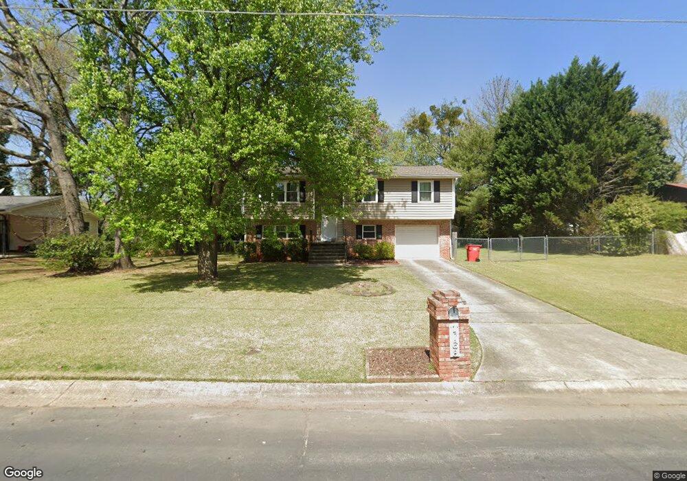
1768 Jarrard Ave Jonesboro, GA 30236
Estimated Value: $230,000 - $254,000
3
Beds
1
Bath
1,831
Sq Ft
$132/Sq Ft
Est. Value
About This Home
This home is located at 1768 Jarrard Ave, Jonesboro, GA 30236 and is currently estimated at $241,036, approximately $131 per square foot. 1768 Jarrard Ave is a home located in Clayton County with nearby schools including Arnold Elementary School, M. D. Roberts Middle School, and Jonesboro High School.
Ownership History
Date
Name
Owned For
Owner Type
Purchase Details
Closed on
Oct 20, 2010
Sold by
Hud-Housing Of Urban Dev
Bought by
Monroe Andrew C and Monroe Jenice
Current Estimated Value
Purchase Details
Closed on
Apr 6, 2010
Sold by
Pnc Bk National Assn
Bought by
Hud-Housing Of Urban Dev
Purchase Details
Closed on
Jun 28, 2001
Sold by
Oulsnam Donald W and Oulsnam Brenda A
Bought by
Miles Jeryl L
Home Financials for this Owner
Home Financials are based on the most recent Mortgage that was taken out on this home.
Original Mortgage
$106,944
Interest Rate
7.17%
Mortgage Type
FHA
Create a Home Valuation Report for This Property
The Home Valuation Report is an in-depth analysis detailing your home's value as well as a comparison with similar homes in the area
Home Values in the Area
Average Home Value in this Area
Purchase History
| Date | Buyer | Sale Price | Title Company |
|---|---|---|---|
| Monroe Andrew C | -- | -- | |
| Hud-Housing Of Urban Dev | -- | -- | |
| Hud-Housing Of Urban Dev | -- | -- | |
| Pnc Bk National Assn | $100,788 | -- | |
| Miles Jeryl L | $108,700 | -- |
Source: Public Records
Mortgage History
| Date | Status | Borrower | Loan Amount |
|---|---|---|---|
| Previous Owner | Miles Jeryl L | $106,944 |
Source: Public Records
Tax History Compared to Growth
Tax History
| Year | Tax Paid | Tax Assessment Tax Assessment Total Assessment is a certain percentage of the fair market value that is determined by local assessors to be the total taxable value of land and additions on the property. | Land | Improvement |
|---|---|---|---|---|
| 2024 | $3,192 | $80,920 | $7,200 | $73,720 |
| 2023 | $2,772 | $76,760 | $7,200 | $69,560 |
| 2022 | $2,401 | $60,280 | $7,200 | $53,080 |
| 2021 | $2,199 | $54,800 | $7,200 | $47,600 |
| 2020 | $2,029 | $49,849 | $7,200 | $42,649 |
| 2019 | $1,387 | $46,150 | $5,600 | $40,550 |
| 2018 | $1,387 | $33,293 | $5,600 | $27,693 |
| 2017 | $1,083 | $25,754 | $5,600 | $20,154 |
| 2016 | $1,094 | $26,023 | $5,600 | $20,423 |
| 2015 | $949 | $0 | $0 | $0 |
| 2014 | $965 | $23,393 | $6,400 | $16,993 |
Source: Public Records
Map
Nearby Homes
- 8562 Jarrard Ct
- 1730 Salina Dr
- 1907 Spivey Village Cir
- 8698 Twin Oaks Dr
- 1738 Sherry Ln Unit 3
- 1726 Sherry Ln
- 8297 San Jose Trail
- 8645 Embrey Dr
- 8399 Carlington Ln
- 8391 Carlington Ln
- 8372 Carlington Ln
- 8832 Twin Oaks Dr Unit 2
- 8356 Carlington Ln
- 1976 Emerald Dr
- 1433 Butler St
- 8228 Lullwater Ct
- 57 Teal Trail NE
- 111 Teal Trail
- 1931 Lake Jodeco Rd
- 1732 Winding Woods Ln
- 1780 Jarrard Ave
- 1756 Jarrard Ave
- 1765 Tilden Ave
- 1757 Tilden Ave
- 1757 Tilden Ave Unit 4
- 1761 Jarrard Ave
- 1775 Tilden Ave
- 0 Sheridan Dr Unit 8884905
- 0 Sheridan Dr Unit 8926123
- 0 Sheridan Dr Unit 8359545
- 0 Sheridan Dr Unit 7074677
- 0 Sheridan Dr Unit 7091809
- 0 Sheridan Dr Unit 7630646
- 1779 Jarrard Ave
- 1749 Tilden Ave Unit 3
- 1749 Tilden Ave
- 1744 Jarrard Ave
- 0 Jarrard Ave Unit 3244867
- 0 Jarrard Ave
- 8516 Sheridan Dr