1768 Kestrel Way Ann Arbor, MI 48103
Estimated Value: $912,979 - $1,197,000
--
Bed
1
Bath
3,768
Sq Ft
$291/Sq Ft
Est. Value
About This Home
This home is located at 1768 Kestrel Way, Ann Arbor, MI 48103 and is currently estimated at $1,095,245, approximately $290 per square foot. 1768 Kestrel Way is a home located in Washtenaw County with nearby schools including Lakewood Elementary School, Slauson Middle School, and Pioneer High School.
Ownership History
Date
Name
Owned For
Owner Type
Purchase Details
Closed on
Apr 19, 2018
Sold by
Kidder Lew A and Mckeachie Karen
Bought by
Kidder Lew A and Lew A Kidder Trust
Current Estimated Value
Purchase Details
Closed on
Feb 26, 2007
Sold by
Gordon Robert A and Patterson Susan C
Bought by
Open Roads Developers Llc
Home Financials for this Owner
Home Financials are based on the most recent Mortgage that was taken out on this home.
Original Mortgage
$437,750
Interest Rate
6.55%
Create a Home Valuation Report for This Property
The Home Valuation Report is an in-depth analysis detailing your home's value as well as a comparison with similar homes in the area
Home Values in the Area
Average Home Value in this Area
Purchase History
| Date | Buyer | Sale Price | Title Company |
|---|---|---|---|
| Kidder Lew A | -- | None Available | |
| Open Roads Developers Llc | $515,000 | None Available |
Source: Public Records
Mortgage History
| Date | Status | Borrower | Loan Amount |
|---|---|---|---|
| Previous Owner | Open Roads Developers Llc | $437,750 |
Source: Public Records
Tax History Compared to Growth
Tax History
| Year | Tax Paid | Tax Assessment Tax Assessment Total Assessment is a certain percentage of the fair market value that is determined by local assessors to be the total taxable value of land and additions on the property. | Land | Improvement |
|---|---|---|---|---|
| 2025 | $9,319 | $495,100 | $0 | $0 |
| 2024 | $9,096 | $469,400 | $0 | $0 |
| 2023 | $8,740 | $477,800 | $0 | $0 |
| 2022 | $12,162 | $471,600 | $0 | $0 |
| 2021 | $11,561 | $464,900 | $0 | $0 |
| 2020 | $11,839 | $447,700 | $0 | $0 |
| 2019 | $10,941 | $423,900 | $423,900 | $0 |
| 2018 | $10,641 | $354,000 | $0 | $0 |
| 2017 | $10,270 | $361,900 | $0 | $0 |
| 2016 | $7,265 | $285,653 | $0 | $0 |
| 2015 | -- | $284,799 | $0 | $0 |
| 2014 | -- | $275,900 | $0 | $0 |
| 2013 | -- | $275,900 | $0 | $0 |
Source: Public Records
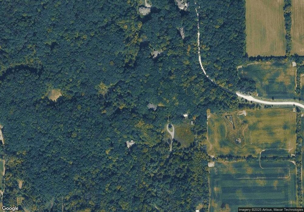
Map
Nearby Homes
- 3232 Bellflower Ct Unit 76
- 1860 Chicory Ridge
- 1419 N Bay Dr Unit 73
- 1261 Joyce Ln Unit 4
- 1255 Joyce Ln Unit 1
- 1343 Timmins Dr Unit 8
- 1929 Harley Dr
- 2770 S Wagner Rd
- #24 Loon Ln
- #53 Loon Ln
- 4944 Scio Church Rd
- 1599 Scio Ridge Rd
- 4257 Loon Ln
- 4229 Loon Ln
- 4261 Loon Ln
- 1008 W Summerfield Glen Cir
- 601 Grosbeak Dr Unit 1
- 4224 Duck Dr Unit 5
- 4236 Duck Dr
- 4445 Oriole Ct
- 1727 Kestrel Way
- 1830 Kestrel Way
- 1752 Kestrel Way
- 3819 Hawk Crest Rd
- 3770 Scio Church Rd
- 3835 Hawk Crest Rd
- 3780 Scio Church Rd
- 3872 Hawk Crest Rd
- 3865 S Michael Rd
- 3893 S Michael Rd
- 4100 Scio Church Rd
- 3837 S Michael Rd
- 3921 S Michael Rd
- 3949 S Michael Rd
- 1700 S Wagner Rd
- 4150 Scio Church Rd
- 3809 S Michael Rd Unit Bldg-Unit
- 3809 S Michael Rd
- 3977 S Michael Rd
- 4005 S Michael Rd