Estimated Value: $231,000 - $264,000
3
Beds
2
Baths
1,681
Sq Ft
$148/Sq Ft
Est. Value
About This Home
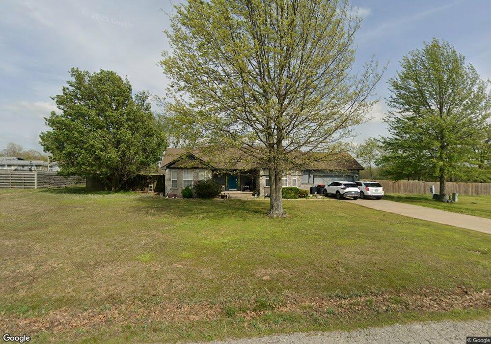
This home is located at 1768 Robin Rd, Jay, OK 74346 and is currently estimated at $248,645, approximately $147 per square foot. 1768 Robin Rd is a home located in Delaware County with nearby schools including Jay Elementary School, Jay Upper Elementary School, and Jay Middle School.
Ownership History
Date
Name
Owned For
Owner Type
Purchase Details
Closed on
Aug 24, 2020
Sold by
Bark William and Bark Leslie
Bought by
Summerfield Rhonda G
Current Estimated Value
Home Financials for this Owner
Home Financials are based on the most recent Mortgage that was taken out on this home.
Original Mortgage
$155,555
Outstanding Balance
$137,731
Interest Rate
2.9%
Mortgage Type
New Conventional
Estimated Equity
$110,914
Purchase Details
Closed on
Jul 22, 2005
Sold by
Grand Country Investments Inc
Bought by
Burrow Donnie R and Burrow Mary L
Create a Home Valuation Report for This Property
The Home Valuation Report is an in-depth analysis detailing your home's value as well as a comparison with similar homes in the area
Home Values in the Area
Average Home Value in this Area
Purchase History
| Date | Buyer | Sale Price | Title Company |
|---|---|---|---|
| Summerfield Rhonda G | $154,000 | Fidelity National Ttl Ins Co | |
| Burrow Donnie R | $6,500 | -- |
Source: Public Records
Mortgage History
| Date | Status | Borrower | Loan Amount |
|---|---|---|---|
| Open | Summerfield Rhonda G | $155,555 |
Source: Public Records
Tax History
| Year | Tax Paid | Tax Assessment Tax Assessment Total Assessment is a certain percentage of the fair market value that is determined by local assessors to be the total taxable value of land and additions on the property. | Land | Improvement |
|---|---|---|---|---|
| 2025 | $1,510 | $17,935 | $1,168 | $16,767 |
| 2024 | $1,464 | $17,412 | $1,134 | $16,278 |
| 2023 | $1,464 | $16,906 | $1,093 | $15,813 |
| 2022 | $1,425 | $16,906 | $1,093 | $15,813 |
| 2021 | $1,255 | $16,906 | $1,093 | $15,813 |
| 2020 | $943 | $15,031 | $1,093 | $13,938 |
| 2019 | $917 | $12,221 | $980 | $11,241 |
Source: Public Records
Map
Nearby Homes
- TBD S 622 Rd
- 12347 E 389 Rd
- 0000 E 480
- Lot 14 Block 6 (Piney Woods) E 330 Rd
- Lot 6 Block 12 (Piney Woods) S 576 Rd
- Lot 7 Block 12 (Piney Woods) S 576 Rd
- Lot 16 Block 6 (Piney Woods) E 330 Rd
- Lot 26 Block 14 (Piney Woods) S 576 Rd
- 64492 E 350 Rd
- Lot 8 Block 12 (Piney Woods) S 576 Rd
- 36015 S 545
- 000 N Main St
- 0 N Main St
- 46420 S 590
- 0 E 380 Rd Unit 2601270
- 39246 S 631 Rd
- 0 Monroe St E Unit 26-45
- TBD W Leonard St
- 11369 E 380 Rd
- 908 W Osage
- 2435 Robin Rd
- 1796 Robin Rd
- 1747 Robin Rd
- 1724 Robin Rd
- 2488 N Evenson Rd
- 2498 N Evenson Rd
- 0 Rt 5 Deerlick Rd
- 1686 Robin Rd
- 1689 Robin Rd
- 0 Robin Rd
- 1751 N Evenson Rd
- TBD N Evenson Rd
- 16835 E 390 Rd
- 0 E 390 Rd
- 2489 N Evenson Rd
- 0 Evenson Rd Unit 22-84
- 2441 N Evenson Rd
- 20 Acres E 390 Rd
- 2379 Robin Rd
- 1664 Evenson Rd
Your Personal Tour Guide
Ask me questions while you tour the home.