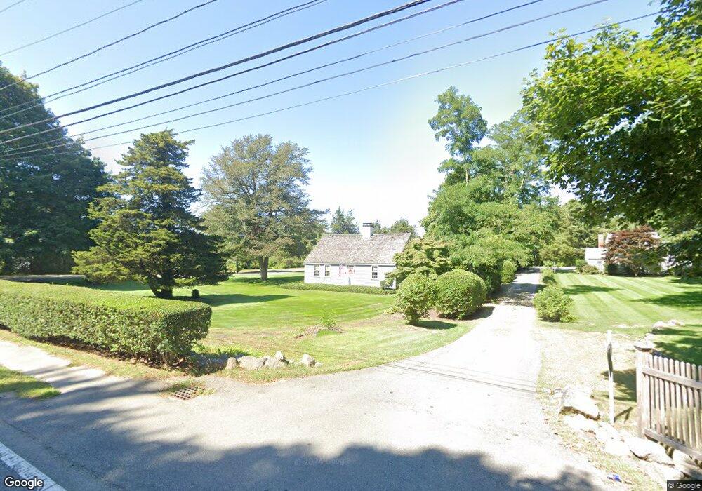
1768 Route 6a South Dennis, MA 2660
East Dennis NeighborhoodEstimated Value: $1,475,000 - $1,889,000
3
Beds
3
Baths
3,053
Sq Ft
$557/Sq Ft
Est. Value
About This Home
This home is located at 1768 Route 6a, South Dennis, MA 2660 and is currently estimated at $1,700,509, approximately $556 per square foot. 1768 Route 6a is a home located in Barnstable County with nearby schools including Dennis-Yarmouth Regional High School and Latham School.
Ownership History
Date
Name
Owned For
Owner Type
Purchase Details
Closed on
Apr 14, 2023
Sold by
Gingras Raymond and Gingras Camille
Bought by
Gingras Ft and Gingras
Current Estimated Value
Purchase Details
Closed on
Apr 1, 1999
Sold by
Amato Salvatore V
Bought by
Vanriet Joan W
Create a Home Valuation Report for This Property
The Home Valuation Report is an in-depth analysis detailing your home's value as well as a comparison with similar homes in the area
Home Values in the Area
Average Home Value in this Area
Purchase History
| Date | Buyer | Sale Price | Title Company |
|---|---|---|---|
| Gingras Ft | -- | None Available | |
| Vanriet Joan W | $300,000 | -- |
Source: Public Records
Tax History Compared to Growth
Tax History
| Year | Tax Paid | Tax Assessment Tax Assessment Total Assessment is a certain percentage of the fair market value that is determined by local assessors to be the total taxable value of land and additions on the property. | Land | Improvement |
|---|---|---|---|---|
| 2025 | $5,972 | $1,379,300 | $525,100 | $854,200 |
| 2024 | $5,827 | $1,327,400 | $505,000 | $822,400 |
| 2023 | $5,645 | $1,208,800 | $459,100 | $749,700 |
| 2022 | $5,493 | $980,900 | $413,500 | $567,400 |
| 2021 | $5,428 | $900,200 | $405,400 | $494,800 |
| 2020 | $5,327 | $873,300 | $405,400 | $467,900 |
| 2019 | $5,051 | $818,600 | $397,500 | $421,100 |
| 2018 | $4,199 | $662,300 | $353,200 | $309,100 |
| 2017 | $4,130 | $671,600 | $353,100 | $318,500 |
| 2016 | $4,022 | $616,000 | $344,700 | $271,300 |
| 2015 | $3,942 | $616,000 | $344,700 | $271,300 |
| 2014 | $4,378 | $689,400 | $410,300 | $279,100 |
Source: Public Records
Map
Nearby Homes
- 55 Monument View Rd
- 102 Prince Way
- 10 Shiverick Rd
- 1376 Bridge St Unit 16
- 138 Quivet Dr
- 92 Whiffletree Ave
- 88 Whiffletree Ave
- 23 Stephen Phillips Rd
- 87 Coles Pond Dr
- 18 Wendy Way
- 11 Island Creek Ln
- 40 Harbor Rd
- 43 Barque Cir
- 15 Trudy Cir
- 12 Paddocks Path
- 20 Paddocks Path
- 1146 Massachusetts 134 Unit 4C
- 31 Acorn Rd
- 4 Landing Ln
- 1768 Main St
- 1782 Main St
- 1782 Massachusetts 6a
- 1782 Route 6a
- 1746 Main St
- 18 Palmer Ln
- 18 Palmer Ln
- 37 Palmer Ln
- 1796 Massachusetts 6a
- 1796 Route 6a
- 43 Palmer Ln
- 24 Palmer Ln
- 24 Palmer Ln
- 1741 Route 6a
- 1741 Route 6a
- 1800 Route 6a
- 1800 Route 6a
- 1800 Massachusetts 6a
- 1774 Massachusetts 6a
- 1774 Route 6a