1768 Samantha Ln Bourbonnais, IL 60914
Estimated Value: $338,727 - $408,000
Studio
--
Bath
--
Sq Ft
13,634
Sq Ft Lot
About This Home
This home is located at 1768 Samantha Ln, Bourbonnais, IL 60914 and is currently estimated at $368,932. 1768 Samantha Ln is a home with nearby schools including St. George Elementary School and Bradley-Bourbonnais Community High School.
Ownership History
Date
Name
Owned For
Owner Type
Purchase Details
Closed on
Aug 6, 2013
Sold by
Larry Power Road Dev Llc
Bought by
Spencer Brian and Spencer Michele
Current Estimated Value
Home Financials for this Owner
Home Financials are based on the most recent Mortgage that was taken out on this home.
Original Mortgage
$209,520
Outstanding Balance
$153,069
Interest Rate
4.49%
Mortgage Type
New Conventional
Estimated Equity
$215,863
Create a Home Valuation Report for This Property
The Home Valuation Report is an in-depth analysis detailing your home's value as well as a comparison with similar homes in the area
Home Values in the Area
Average Home Value in this Area
Purchase History
| Date | Buyer | Sale Price | Title Company |
|---|---|---|---|
| Spencer Brian | $216,000 | Standard Title |
Source: Public Records
Mortgage History
| Date | Status | Borrower | Loan Amount |
|---|---|---|---|
| Open | Spencer Brian | $209,520 |
Source: Public Records
Tax History
| Year | Tax Paid | Tax Assessment Tax Assessment Total Assessment is a certain percentage of the fair market value that is determined by local assessors to be the total taxable value of land and additions on the property. | Land | Improvement |
|---|---|---|---|---|
| 2025 | $7,283 | $111,121 | $9,276 | $101,845 |
| 2024 | $7,283 | $102,033 | $8,751 | $93,282 |
| 2023 | $7,046 | $94,475 | $8,103 | $86,372 |
| 2022 | $6,943 | $88,712 | $8,658 | $80,054 |
| 2021 | $6,812 | $85,224 | $8,467 | $76,757 |
| 2020 | $6,372 | $81,478 | $8,240 | $73,238 |
| 2019 | $6,497 | $78,548 | $7,443 | $71,105 |
| 2018 | $6,417 | $77,164 | $7,110 | $70,054 |
| 2017 | $6,252 | $73,942 | $6,937 | $67,005 |
| 2016 | $6,120 | $72,849 | $6,834 | $66,015 |
| 2015 | $5,976 | $70,845 | $6,766 | $64,079 |
| 2014 | $5,679 | $69,588 | $6,766 | $62,822 |
| 2013 | -- | $160 | $160 | $0 |
Source: Public Records
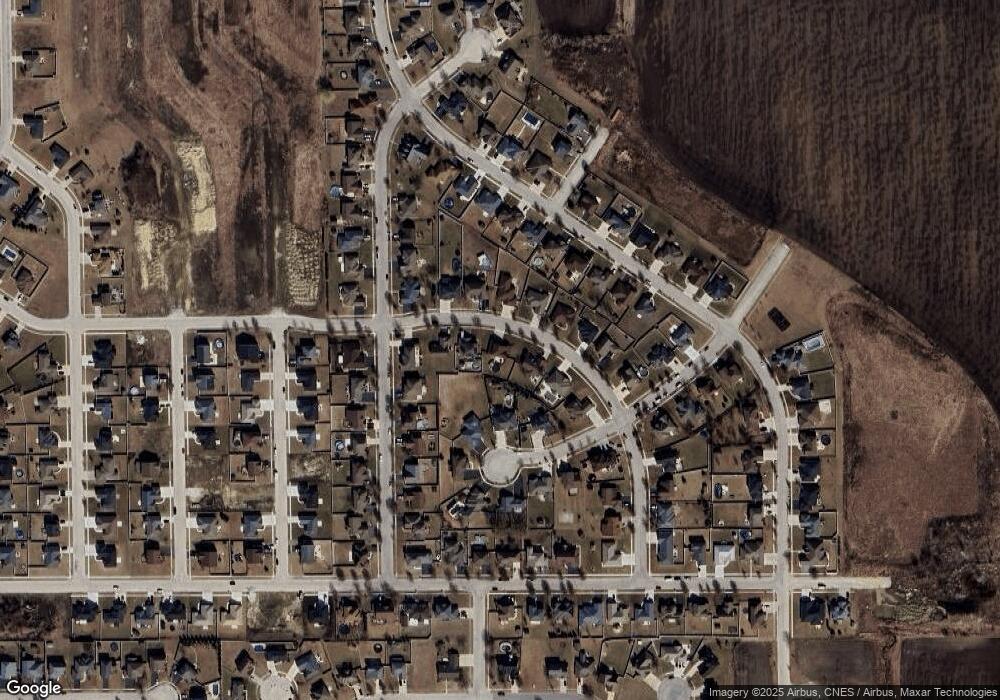
Map
Nearby Homes
- 1873 Claire Dr
- 1840 Yorktown Dr
- 1802 Derby Dr
- 1696 Yorktown Dr
- 1812 Brassie Dr
- 1425 Argyle Ln N
- 1606 Amhurst Way
- 1622 Amhurst Way
- 2224 Trappers Ln
- 1602 Cardinal Dr
- 2312 Monarch St
- 2329 Monarch St
- 1486 Bradley Way
- Lot 13 North Point E Cardinal Dr
- 1390 E Armour Rd
- 973 Cardinal Dr
- 1511 Lady Brunetta Rd
- 856 Quail Dr
- 19 Old Farm North Ct
- 463 Edgebrook Dr
- 1764 Samantha Ln
- 1772 Samantha Ln
- 1760 Samantha Ln
- 1771 Samantha Ln
- 1776 Samantha Ln
- 1767 Samantha Ln
- 1807 Robert Ct
- 1775 Samantha Ln
- 1763 Samantha Ln
- 1819 Robert Ct
- 1795 Robert Ct
- 1884 Claire Dr
- 1779 Samantha Ln
- 1780 Samantha Ln
- 1759 Samantha Ln
- 1860 Claire Dr
- 1872 Claire Dr
- 1940 Willow Brook Dr
- 1932 Willow Brook Dr
- 1783 Samantha Ln
Your Personal Tour Guide
Ask me questions while you tour the home.