Estimated Value: $175,000 - $197,000
3
Beds
1
Bath
1,350
Sq Ft
$138/Sq Ft
Est. Value
About This Home
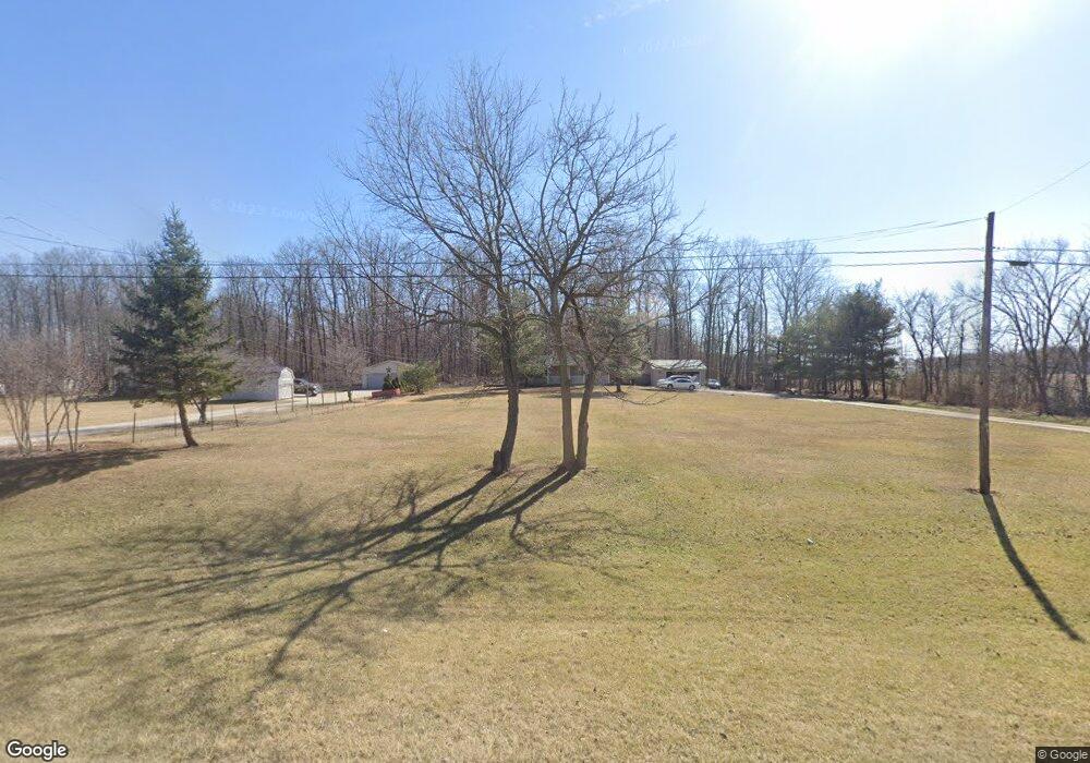
This home is located at 1768 State Route 309, Alger, OH 45812 and is currently estimated at $185,909, approximately $137 per square foot. 1768 State Route 309 is a home located in Hardin County with nearby schools including Upper Scioto Valley Elementary School, Upper Scioto Valley Middle School, and Upper Scioto Valley High School.
Ownership History
Date
Name
Owned For
Owner Type
Purchase Details
Closed on
Aug 17, 2017
Sold by
Johnson Thomas C
Bought by
Winder Bonnie A
Current Estimated Value
Home Financials for this Owner
Home Financials are based on the most recent Mortgage that was taken out on this home.
Original Mortgage
$96,000
Outstanding Balance
$80,105
Interest Rate
3.96%
Estimated Equity
$105,804
Purchase Details
Closed on
Nov 18, 2014
Sold by
Bedford Rory V and Bedford Lynn E
Bought by
Johnson Thomas C
Home Financials for this Owner
Home Financials are based on the most recent Mortgage that was taken out on this home.
Original Mortgage
$100,000
Interest Rate
4.1%
Purchase Details
Closed on
May 10, 1999
Bought by
Bedford Rory and Bedford Lynn E
Purchase Details
Closed on
Apr 21, 1998
Bought by
Hunsicker Donna
Purchase Details
Closed on
Aug 17, 1988
Create a Home Valuation Report for This Property
The Home Valuation Report is an in-depth analysis detailing your home's value as well as a comparison with similar homes in the area
Purchase History
| Date | Buyer | Sale Price | Title Company |
|---|---|---|---|
| Winder Bonnie A | $120,000 | None Available | |
| Johnson Thomas C | $98,000 | None Available | |
| Bedford Rory | $80,000 | -- | |
| Hunsicker Donna | -- | -- | |
| -- | -- | -- |
Source: Public Records
Mortgage History
| Date | Status | Borrower | Loan Amount |
|---|---|---|---|
| Open | Winder Bonnie A | $96,000 | |
| Previous Owner | Johnson Thomas C | $100,000 |
Source: Public Records
Tax History
| Year | Tax Paid | Tax Assessment Tax Assessment Total Assessment is a certain percentage of the fair market value that is determined by local assessors to be the total taxable value of land and additions on the property. | Land | Improvement |
|---|---|---|---|---|
| 2024 | $1,591 | $46,290 | $8,050 | $38,240 |
| 2023 | $1,589 | $46,290 | $8,050 | $38,240 |
| 2022 | $1,385 | $35,790 | $5,460 | $30,330 |
| 2021 | $1,467 | $35,790 | $5,460 | $30,330 |
| 2020 | $1,483 | $35,790 | $5,460 | $30,330 |
| 2019 | $1,128 | $29,470 | $5,250 | $24,220 |
| 2018 | $1,134 | $29,470 | $5,250 | $24,220 |
| 2017 | $1,124 | $29,470 | $5,250 | $24,220 |
| 2016 | $1,106 | $31,450 | $4,730 | $26,720 |
| 2015 | $1,075 | $31,450 | $4,730 | $26,720 |
| 2014 | $1,078 | $31,450 | $4,730 | $26,720 |
| 2013 | $1,249 | $33,970 | $4,730 | $29,240 |
Source: Public Records
Map
Nearby Homes
- 5594 County Road 35
- 1706 County Road 80
- 2864 Ohio 309
- 2959 County Road 60
- 207 Smith St
- 303 N Front St
- 1669 County Road 92
- 203 Belmont St
- 1689 County Road 50
- 820 S Main St
- 318 Willeke Ave
- 710 S Main St
- 722 S Johnson St
- 314 E University Ave
- 308-310 S Simon St
- 510 E Lehr Ave Unit 510R
- 210 N Gilbert St
- 211 S Main St
- 327 W North Ave
- 420 N Simon St
- 1768 State Route 309
- 1812 State Route 309
- 1812 State Route Unit 309
- 1812 State Route
- 1768 Ohio 309
- 1767 State Route 309
- 1717 State Route 309
- 1664 State Route 309
- 1890 State Route 309
- 1869 State Route 309
- 6073 St Route Unit 235
- 1968 State Route 309
- 1968 State Route 309
- 6073 State Route 235
- 1991 Ohio 309
- 5915 County Road 35
- 1991 State Route
- 1991 State Route 309
- 5871 County Road 35
- 5871 Cr
Your Personal Tour Guide
Ask me questions while you tour the home.