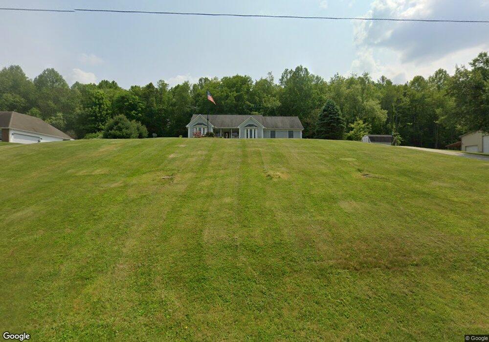
17680 Paige Rd Mount Vernon, OH 43050
Estimated Value: $404,000 - $524,000
--
Bed
--
Bath
--
Sq Ft
1.57
Acres
About This Home
This home is located at 17680 Paige Rd, Mount Vernon, OH 43050 and is currently estimated at $464,000. 17680 Paige Rd is a home located in Knox County with nearby schools including Mount Vernon High School, St. Vincent de Paul School, and Christian Star Academy.
Ownership History
Date
Name
Owned For
Owner Type
Purchase Details
Closed on
Sep 23, 2010
Sold by
Lackey Charles T and Lackey Dorothy A
Bought by
Lackey Charles T and Lackey Dorothy A
Current Estimated Value
Purchase Details
Closed on
Aug 20, 2010
Sold by
Kidd William E and Kidd Toby A
Bought by
Lackey Charles T and Lackey Dorothy A
Purchase Details
Closed on
Jun 17, 2005
Sold by
Murray John M and Murray Maureen B
Bought by
Kidd William E and Kidd Toby A
Purchase Details
Closed on
Sep 5, 1996
Sold by
Carter Ronald Larry and Carter Glo
Bought by
Murray John M and Murray Maureen B
Purchase Details
Closed on
Sep 12, 1995
Bought by
Carter Ronald Larry and Carter Glo
Create a Home Valuation Report for This Property
The Home Valuation Report is an in-depth analysis detailing your home's value as well as a comparison with similar homes in the area
Home Values in the Area
Average Home Value in this Area
Purchase History
| Date | Buyer | Sale Price | Title Company |
|---|---|---|---|
| Lackey Charles T | -- | None Available | |
| Lackey Charles T | $135,000 | None Available | |
| Kidd William E | $144,750 | None Available | |
| Murray John M | $10,500 | -- | |
| Carter Ronald Larry | $23,500 | -- |
Source: Public Records
Tax History Compared to Growth
Tax History
| Year | Tax Paid | Tax Assessment Tax Assessment Total Assessment is a certain percentage of the fair market value that is determined by local assessors to be the total taxable value of land and additions on the property. | Land | Improvement |
|---|---|---|---|---|
| 2024 | $774 | $17,830 | $6,700 | $11,130 |
| 2023 | $774 | $17,830 | $6,700 | $11,130 |
| 2022 | $578 | $12,300 | $4,620 | $7,680 |
| 2021 | $578 | $12,300 | $4,620 | $7,680 |
| 2020 | $564 | $12,300 | $4,620 | $7,680 |
| 2019 | $481 | $9,730 | $3,860 | $5,870 |
| 2018 | $482 | $9,730 | $3,860 | $5,870 |
| 2017 | $475 | $9,730 | $3,860 | $5,870 |
| 2016 | $443 | $9,010 | $3,570 | $5,440 |
| 2015 | $444 | $9,010 | $3,570 | $5,440 |
| 2014 | $446 | $9,010 | $3,570 | $5,440 |
| 2013 | $453 | $8,890 | $3,360 | $5,530 |
Source: Public Records
Map
Nearby Homes
- 12627 Upper Gilchrist Rd
- 13999 Wooster Rd
- 13618 Gilchrist Rd
- 14499 Wooster Rd
- 188 Plymouth Rd
- 14702 Wooster Rd
- 117 Colonial Woods Dr
- 1737 Vernonview Dr
- 104 Colonial Woods Dr Unit 4
- 14021 Gilchrist Rd
- 17421 Coshocton Rd
- 14914 N Liberty Rd
- 17970 Scott Rd
- 0 Venture Dr Unit 20240369
- 17 Upland Terrace
- 6 Fairway Dr
- 11791 McManis Rd
- 16 Eagle Dr
- 464 Wooster Rd
- 2 Coventry Ct
- 17680 Paige Rd
- 17720 Paige Rd
- 17720 Paige Rd
- 0 Paige Rd Unit 218735
- 0 Paige Rd Unit 4486919
- 0 Paige Rd Unit 4486913
- 0 Paige Rd Unit 9033368
- 0 Paige Rd Unit 2827469
- 0 Paige Rd Unit 20210088
- 0 Paige Rd Unit 221005002
- 0 Paige Rd
- 17600 Paige Rd
- 17574 Paige Rd
- 17574 Paige Rd
- 17480 Paige Rd
- 17464 Paige Rd
- 17440 Paige Rd
- 17419 Paige Rd
- 17400 Paige Rd
- 17344 Paige Rd