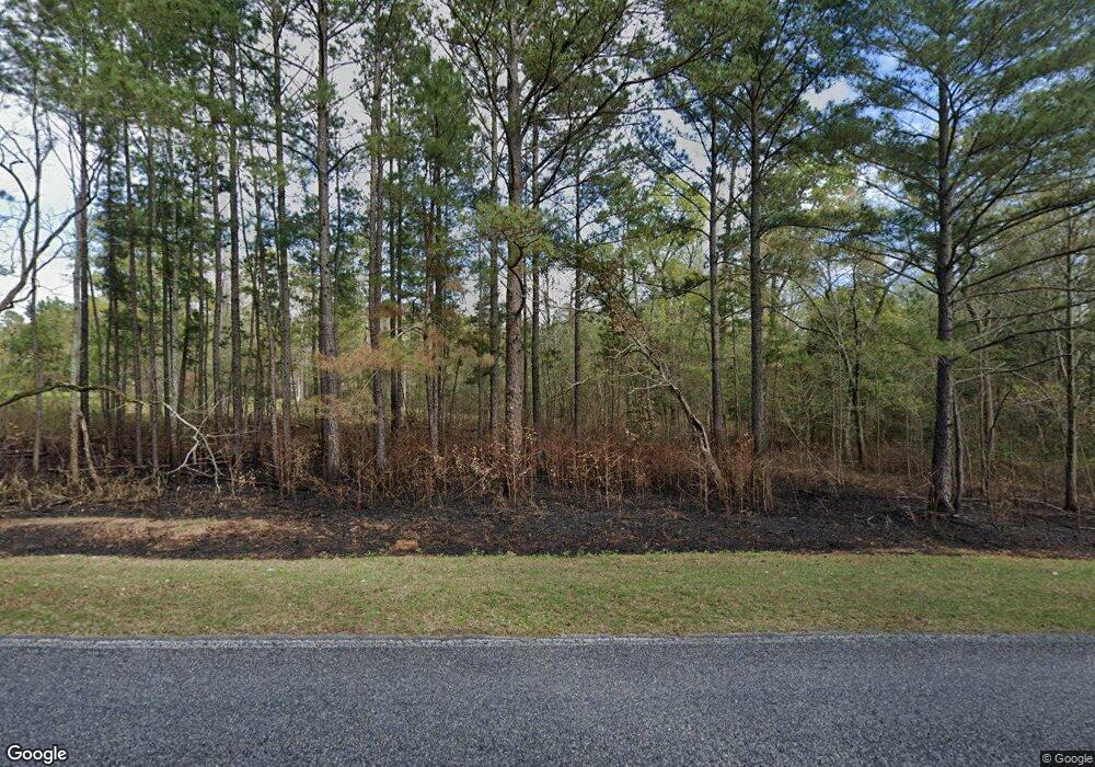
1769 Old 84 Whigham, GA 39897
Estimated Value: $173,000 - $271,680
3
Beds
2
Baths
1,511
Sq Ft
$140/Sq Ft
Est. Value
About This Home
This home is located at 1769 Old 84, Whigham, GA 39897 and is currently estimated at $210,920, approximately $139 per square foot. 1769 Old 84 is a home located in Grady County.
Ownership History
Date
Name
Owned For
Owner Type
Purchase Details
Closed on
Oct 6, 2016
Sold by
James M
Bought by
Peart Michael
Current Estimated Value
Home Financials for this Owner
Home Financials are based on the most recent Mortgage that was taken out on this home.
Original Mortgage
$70,400
Outstanding Balance
$56,403
Interest Rate
3.44%
Mortgage Type
New Conventional
Estimated Equity
$154,517
Purchase Details
Closed on
Oct 30, 2015
Sold by
Cox Jane B
Bought by
Cox James M and Cox Jeffrey F
Purchase Details
Closed on
Sep 8, 1987
Bought by
Cox Jane B
Create a Home Valuation Report for This Property
The Home Valuation Report is an in-depth analysis detailing your home's value as well as a comparison with similar homes in the area
Home Values in the Area
Average Home Value in this Area
Purchase History
| Date | Buyer | Sale Price | Title Company |
|---|---|---|---|
| Peart Michael | $88,000 | -- | |
| Cox James M | -- | -- | |
| Cox Jane B | -- | -- |
Source: Public Records
Mortgage History
| Date | Status | Borrower | Loan Amount |
|---|---|---|---|
| Open | Peart Michael | $70,400 |
Source: Public Records
Tax History Compared to Growth
Tax History
| Year | Tax Paid | Tax Assessment Tax Assessment Total Assessment is a certain percentage of the fair market value that is determined by local assessors to be the total taxable value of land and additions on the property. | Land | Improvement |
|---|---|---|---|---|
| 2024 | $2,377 | $79,280 | $20,285 | $58,995 |
| 2023 | $1,064 | $36,557 | $12,672 | $23,885 |
| 2022 | $1,064 | $36,557 | $12,672 | $23,885 |
| 2021 | $1,067 | $36,557 | $12,672 | $23,885 |
| 2020 | $1,071 | $36,557 | $12,672 | $23,885 |
| 2019 | $1,071 | $36,557 | $12,672 | $23,885 |
| 2018 | $1,005 | $36,557 | $12,672 | $23,885 |
| 2017 | $919 | $36,557 | $12,672 | $23,885 |
| 2016 | $1,036 | $37,212 | $12,672 | $24,540 |
| 2015 | $827 | $37,212 | $12,672 | $24,540 |
| 2014 | $826 | $37,212 | $12,672 | $24,540 |
| 2013 | -- | $37,712 | $15,552 | $22,160 |
Source: Public Records
Map
Nearby Homes
- 206 Lodge Ln
- 165 Larkin St
- 267 Providence Rd
- 723 Providence Rd
- 231 Mcintyre Ln
- 1718 Old 179 S
- 0 Upper Hawthorne Trail
- 1520 Upper Hawthorne Trail
- 1137 Summerfield
- 2033 Old 179 N
- 1389 Lake Front Dr
- Lot 1 Crine Blvd
- 1500 15th Ave NW
- 1296 McQuaig St NW
- 1385 Martin Luther King Junior Ave
- 490 13th St SW
- 1200 15th Ave NW
- 000 1st Ave SW
- 1725 Tract 2 Hwy 84w
- 1725 Tract #1 Hwy 84w
- 1780 Old 84
- 1752 Old 84
- 1713 Old 84
- 1820 Old 84
- 1718 Old 84
- 2876 Us Highway 84 W
- 2896 Us Highway 84 W
- 1667 Old 84
- 2704 Us Highway 84 W
- 1681 Old 84
- 1624 Old 84
- 2929 Us Highway 84 W
- 2818 Us Highway 84 W
- 2945 Us Highway 84 W
- 2958 Us Highway 84 W
- 170 Sherman Rd
- 152 NE Sherman Ln
- 165 NE Sherman St
- 2692 Us Highway 84 W
- 193 Harrell Ave NE
