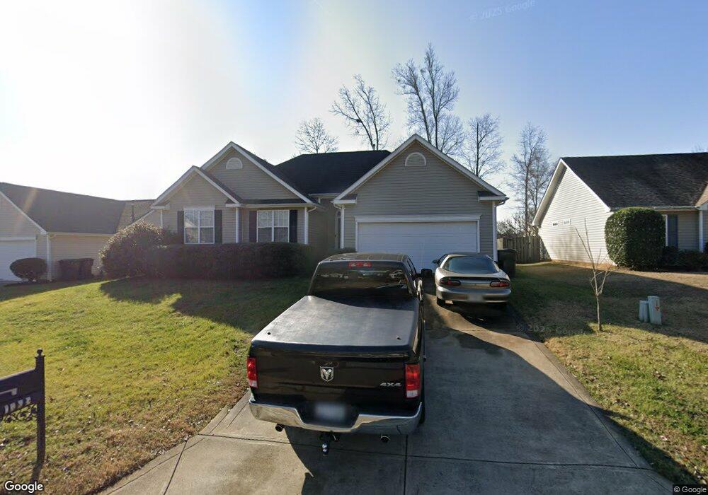
1769 Tate Rd Rock Hill, SC 29732
Estimated Value: $285,115 - $311,000
--
Bed
--
Bath
1,080
Sq Ft
$277/Sq Ft
Est. Value
About This Home
This home is located at 1769 Tate Rd, Rock Hill, SC 29732 and is currently estimated at $298,779, approximately $276 per square foot. 1769 Tate Rd is a home located in York County with nearby schools including Dutchman Creek Middle School, Rock Hill High School, and St. Anne Catholic School.
Ownership History
Date
Name
Owned For
Owner Type
Purchase Details
Closed on
Nov 3, 2017
Sold by
Hobson Linda K and Hahn Linda K
Bought by
Carswell James Walter
Current Estimated Value
Home Financials for this Owner
Home Financials are based on the most recent Mortgage that was taken out on this home.
Original Mortgage
$116,000
Outstanding Balance
$97,202
Interest Rate
3.85%
Mortgage Type
New Conventional
Estimated Equity
$201,577
Purchase Details
Closed on
Jul 22, 2013
Sold by
Crank Patrick and Crank Tracie L
Bought by
Hahn Linda K
Home Financials for this Owner
Home Financials are based on the most recent Mortgage that was taken out on this home.
Original Mortgage
$99,000
Interest Rate
3.96%
Mortgage Type
New Conventional
Purchase Details
Closed on
Nov 22, 2010
Sold by
Stokes Timothy S and Crank Tracie L
Bought by
Crank Patrick and Crank Tracie L
Purchase Details
Closed on
Jul 28, 2000
Sold by
Garry D Smith Homes Inc
Bought by
Stokes Timothy I
Create a Home Valuation Report for This Property
The Home Valuation Report is an in-depth analysis detailing your home's value as well as a comparison with similar homes in the area
Home Values in the Area
Average Home Value in this Area
Purchase History
| Date | Buyer | Sale Price | Title Company |
|---|---|---|---|
| Carswell James Walter | $145,000 | None Available | |
| Hahn Linda K | $110,000 | -- | |
| Crank Patrick | -- | -- | |
| Stokes Timothy I | $108,325 | -- |
Source: Public Records
Mortgage History
| Date | Status | Borrower | Loan Amount |
|---|---|---|---|
| Open | Carswell James Walter | $116,000 | |
| Previous Owner | Hahn Linda K | $99,000 |
Source: Public Records
Tax History Compared to Growth
Tax History
| Year | Tax Paid | Tax Assessment Tax Assessment Total Assessment is a certain percentage of the fair market value that is determined by local assessors to be the total taxable value of land and additions on the property. | Land | Improvement |
|---|---|---|---|---|
| 2024 | $939 | $6,279 | $1,509 | $4,770 |
| 2023 | $941 | $6,279 | $1,509 | $4,770 |
| 2022 | $948 | $6,279 | $1,509 | $4,770 |
| 2021 | -- | $6,279 | $1,509 | $4,770 |
| 2020 | $1,394 | $6,279 | $0 | $0 |
| 2019 | $3,476 | $8,190 | $0 | $0 |
| 2018 | $3,424 | $8,190 | $0 | $0 |
| 2017 | $872 | $3,960 | $0 | $0 |
| 2016 | $864 | $3,960 | $0 | $0 |
| 2014 | $961 | $5,940 | $1,500 | $4,440 |
| 2013 | $961 | $5,940 | $1,500 | $4,440 |
Source: Public Records
Map
Nearby Homes
- 1747 Baylor Dr
- 1776 Rosewell Dr
- 1684 Tate Rd Unit 273
- 1791 Rosewell Dr Unit 65
- 1620 Tate Rd
- 1614 Hardy Dr
- 1944 Bristol Pkwy
- 2225 Mount Gallant Rd
- 1729 Fieldcrest Cir
- 2177 Lookout Ridge
- 2065 Hightower Rd
- 1352 Walnut Hill Dr
- 2016 Celanese Rd
- 1554 Maypine Commons Way
- 1542 Maypine Commons Way
- 2296 Blue Ridge Way
- 5119 Norway Ln
- 2300 Crosstrail Ridge
- 2229 Rosewood Dr
- 1565 Hunt Club Ct