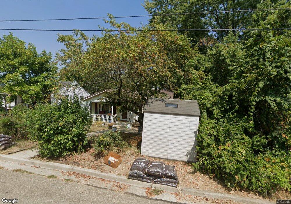
1769 W Walnut St Lancaster, OH 43130
Estimated Value: $152,000 - $196,351
3
Beds
1
Bath
960
Sq Ft
$182/Sq Ft
Est. Value
About This Home
This home is located at 1769 W Walnut St, Lancaster, OH 43130 and is currently estimated at $174,338, approximately $181 per square foot. 1769 W Walnut St is a home located in Fairfield County with nearby schools including General Sherman Junior High School, Lancaster High School, and St Mary Elementary School.
Ownership History
Date
Name
Owned For
Owner Type
Purchase Details
Closed on
Jun 16, 2003
Sold by
Allen Linda G and Allen Frank D
Bought by
Allen Frank D and Allen Linda G
Current Estimated Value
Purchase Details
Closed on
Jul 14, 1995
Sold by
Franklin Jeffrey B
Bought by
Linda Howdyshell
Home Financials for this Owner
Home Financials are based on the most recent Mortgage that was taken out on this home.
Original Mortgage
$70,550
Interest Rate
7.79%
Mortgage Type
New Conventional
Create a Home Valuation Report for This Property
The Home Valuation Report is an in-depth analysis detailing your home's value as well as a comparison with similar homes in the area
Home Values in the Area
Average Home Value in this Area
Purchase History
| Date | Buyer | Sale Price | Title Company |
|---|---|---|---|
| Allen Frank D | -- | -- | |
| Linda Howdyshell | $75,000 | -- |
Source: Public Records
Mortgage History
| Date | Status | Borrower | Loan Amount |
|---|---|---|---|
| Closed | Linda Howdyshell | $70,550 |
Source: Public Records
Tax History
| Year | Tax Paid | Tax Assessment Tax Assessment Total Assessment is a certain percentage of the fair market value that is determined by local assessors to be the total taxable value of land and additions on the property. | Land | Improvement |
|---|---|---|---|---|
| 2025 | $3,931 | $65,050 | $13,480 | $51,570 |
| 2024 | $3,931 | $43,730 | $9,930 | $33,800 |
| 2023 | $1,257 | $43,730 | $9,930 | $33,800 |
| 2022 | $1,277 | $43,730 | $9,930 | $33,800 |
| 2021 | $889 | $31,570 | $7,680 | $23,890 |
| 2020 | $852 | $31,570 | $7,680 | $23,890 |
| 2019 | $810 | $31,570 | $7,680 | $23,890 |
| 2018 | $597 | $25,070 | $7,680 | $17,390 |
| 2017 | $598 | $24,730 | $7,490 | $17,240 |
| 2016 | $582 | $24,730 | $7,490 | $17,240 |
| 2015 | $575 | $24,060 | $7,490 | $16,570 |
| 2014 | $547 | $24,060 | $7,490 | $16,570 |
| 2013 | $547 | $24,060 | $7,490 | $16,570 |
Source: Public Records
Map
Nearby Homes
- 114-116 S Cedar Ave
- 1511 Cedar Hill Rd
- 1414 Cedar Hill Rd
- 453 Bren Dr
- 215 Summitview Dr
- 219 Peters Ave
- 435 Alison Ct
- 1829 Shoshone Dr
- 104 S Pierce Ave
- 132 N Pierce Ave
- 233 N Pierce Ave
- 461 N Shoshone Dr
- 157 Cedar Hill Rd
- 772 Pennsylvania Ave
- 738 Maryland Ave
- 317 Harrison Ave
- 729 Pennsylvania Ave
- 507 Washington Ave
- 664 N Shoshone Dr
- 520 W Wheeling St
- 1775 W Walnut St
- 1761 W Walnut St
- 1766 W Chestnut St
- 1776 W Chestnut St
- 1757 W Walnut St
- 1785 W Walnut St
- 1760 W Chestnut St
- 1766 W Walnut St
- 1770 W Walnut St
- 1756 W Chestnut St
- 1753 W Walnut St
- 1786 W Chestnut St
- 1780 W Walnut St
- 1780 W Walnut St
- 1760 W Walnut St
- 0 W Walnut St
- 1752 W Chestnut St
- 1745 W Walnut St
- 1786 W Walnut St
- 1750 W Walnut St