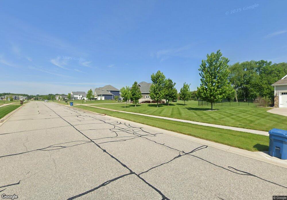
177 Appaloosa Ln Valparaiso, IN 46383
Porter County NeighborhoodEstimated Value: $704,194 - $864,000
3
Beds
4
Baths
2,608
Sq Ft
$299/Sq Ft
Est. Value
About This Home
This home is located at 177 Appaloosa Ln, Valparaiso, IN 46383 and is currently estimated at $780,049, approximately $299 per square foot. 177 Appaloosa Ln is a home with nearby schools including Morgan Township Elementary School, Morgan Township Middle/High School, and Victory Christian Academy.
Ownership History
Date
Name
Owned For
Owner Type
Purchase Details
Closed on
Jul 27, 2015
Sold by
Prairie Phase 2 Llc
Bought by
Barnett Michael G and Barnett Nichole L
Current Estimated Value
Home Financials for this Owner
Home Financials are based on the most recent Mortgage that was taken out on this home.
Original Mortgage
$317,645
Interest Rate
4.02%
Mortgage Type
New Conventional
Create a Home Valuation Report for This Property
The Home Valuation Report is an in-depth analysis detailing your home's value as well as a comparison with similar homes in the area
Home Values in the Area
Average Home Value in this Area
Purchase History
| Date | Buyer | Sale Price | Title Company |
|---|---|---|---|
| Barnett Michael G | -- | Chicago Title Company Llc |
Source: Public Records
Mortgage History
| Date | Status | Borrower | Loan Amount |
|---|---|---|---|
| Closed | Barnett Michael G | $317,645 |
Source: Public Records
Tax History Compared to Growth
Tax History
| Year | Tax Paid | Tax Assessment Tax Assessment Total Assessment is a certain percentage of the fair market value that is determined by local assessors to be the total taxable value of land and additions on the property. | Land | Improvement |
|---|---|---|---|---|
| 2024 | $4,384 | $648,900 | $80,800 | $568,100 |
| 2023 | $4,244 | $605,000 | $73,500 | $531,500 |
| 2022 | $4,753 | $618,700 | $73,500 | $545,200 |
| 2021 | $4,276 | $526,100 | $73,500 | $452,600 |
| 2020 | $3,916 | $486,600 | $66,800 | $419,800 |
| 2019 | $3,844 | $461,800 | $66,800 | $395,000 |
| 2018 | $3,679 | $451,100 | $66,200 | $384,900 |
| 2017 | $3,653 | $454,900 | $66,200 | $388,700 |
| 2016 | $1,629 | $226,300 | $68,800 | $157,500 |
Source: Public Records
Map
Nearby Homes
- 197 Appaloosa Ln
- 239 Bayberry Ct
- 232 E 250 S
- 279 S State Road 49
- 323 E 124 S
- 3353 Field Hawk Dr
- 3251 Mockingbird Ln
- 1206 Meadow Glen Dr
- 3359 Blue Jay Dr
- 48 E Division Rd
- 0 Smoke Rd
- 501 Eagle Ct
- 372 Radcliff Dr
- 355 E 300 S
- 421 Amy Rose Ln
- 2054 Lawndale Dr
- 0 Parcel A 325 E
- 0 Parcel B 325 E
- 1954 Lawndale Dr
- 3152 Heavilin Rd
- 175 Appaloosa Ln
- 179 Appaloosa Ln
- 182 Arthur Ln
- 181 Appaloosa Ln
- 180 Arthur Ln
- 180 Appaloosa Ln
- 178 Appaloosa Ln
- 145 Belgian Ct
- 141 Belgian Ct
- 141 S Belgian Ct
- 143 S Belgian Ct
- 182 Appaloosa Ln
- 176 Appaloosa Ln
- 178 Arthur Ln
- 183 Appaloosa Ln
- 184 Appaloosa Ln
- 180 Buckskin Ln
- 139 S Belgian Ct
- 185 Appaloosa Ln
- 172 Appaloosa Ln