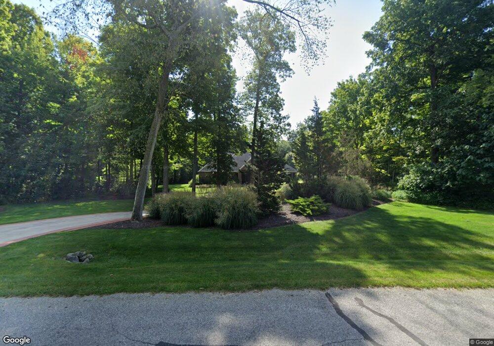
177 Auld Ridge Hebron, OH 43025
Union NeighborhoodEstimated Value: $815,000 - $993,000
4
Beds
3
Baths
4,556
Sq Ft
$201/Sq Ft
Est. Value
About This Home
This home is located at 177 Auld Ridge, Hebron, OH 43025 and is currently estimated at $917,041, approximately $201 per square foot. 177 Auld Ridge is a home located in Licking County with nearby schools including Jackson Intermediate School, Lakewood Middle School, and Lakewood High School.
Ownership History
Date
Name
Owned For
Owner Type
Purchase Details
Closed on
Dec 6, 2005
Sold by
Auld Ridge Development Llc
Bought by
Keegan Terence M and Keegan Donna M
Current Estimated Value
Create a Home Valuation Report for This Property
The Home Valuation Report is an in-depth analysis detailing your home's value as well as a comparison with similar homes in the area
Home Values in the Area
Average Home Value in this Area
Purchase History
| Date | Buyer | Sale Price | Title Company |
|---|---|---|---|
| Keegan Terence M | $83,000 | -- |
Source: Public Records
Tax History Compared to Growth
Tax History
| Year | Tax Paid | Tax Assessment Tax Assessment Total Assessment is a certain percentage of the fair market value that is determined by local assessors to be the total taxable value of land and additions on the property. | Land | Improvement |
|---|---|---|---|---|
| 2024 | $9,706 | $244,940 | $40,850 | $204,090 |
| 2023 | $16,723 | $244,940 | $40,850 | $204,090 |
| 2022 | $8,138 | $193,900 | $36,260 | $157,640 |
| 2021 | $8,404 | $193,900 | $36,260 | $157,640 |
| 2020 | $8,712 | $193,900 | $36,260 | $157,640 |
| 2019 | $8,860 | $185,540 | $27,900 | $157,640 |
| 2018 | $8,952 | $0 | $0 | $0 |
| 2017 | $13,719 | $0 | $0 | $0 |
| 2016 | $8,118 | $0 | $0 | $0 |
| 2015 | $4,032 | $0 | $0 | $0 |
| 2014 | $4,026 | $0 | $0 | $0 |
| 2013 | $4,069 | $0 | $0 | $0 |
Source: Public Records
Map
Nearby Homes
- 6651 Lancaster Rd
- 5595 Lancaster Rd
- 332 Waters Edge
- 59 Squire Ln
- 1906 Seminary Rd
- 0 Hayes Rd
- 3343 Hayes Rd
- 1400 Hayes Rd
- 1283 Union Station Rd
- 2241 Seminary Rd SE
- 799 Old James Rd
- 0 Refugee Rd SE Unit 225031623
- 1100 Thornwood Dr SW Unit 19
- 1100 Thornwood Dr SW Unit 707
- 1100 Thornwood Dr Unit 94
- 104 Cumberland Meadows Cir
- 201 Olde Park W
- 7667 Gale Rd SW
- 219 Sycamore Rd
- 7740 Gale Rd SW
- 177 Auld Ridge Way Unit Lt 29
- 176 Auld Ridge Way Unit Lt 30
- 176 Auld Ridge Way
- 173 Reserve Dr
- 6180 Lancaster Rd
- 169 Auld Ridge Way Unit Lt 28
- 169 Auld Ridge Way
- 6270 Lancaster Rd
- 110 Fox Den Ct
- 100 Fox Den Ct
- 100 Fox Den Ct Unit L-23
- 145 Coyote Ridge Way
- 145 Coyote Ridge Way Unit Lt 48
- 168 Auld Ridge Way Unit 31
- 168 Auld Ridge Way
- 168 Reserve Dr
- 109 Fox Den Ct
- 6310 Lancaster Rd
- 165 Auld Ridge
- 160 Reserve Dr