177 Barfield Rd Sylvester, GA 31791
Estimated Value: $314,000 - $459,501
--
Bed
--
Bath
2,322
Sq Ft
$160/Sq Ft
Est. Value
About This Home
This home is located at 177 Barfield Rd, Sylvester, GA 31791 and is currently estimated at $372,500, approximately $160 per square foot. 177 Barfield Rd is a home with nearby schools including Worth County Primary School, Worth County Elementary School, and Worth County Middle School.
Ownership History
Date
Name
Owned For
Owner Type
Purchase Details
Closed on
Mar 23, 2005
Sold by
Coley Ron S
Bought by
Mulford Amanda M and Yelverton Richard A
Current Estimated Value
Home Financials for this Owner
Home Financials are based on the most recent Mortgage that was taken out on this home.
Original Mortgage
$179,100
Interest Rate
5.62%
Mortgage Type
New Conventional
Purchase Details
Closed on
Aug 21, 2002
Bought by
Goodwin Marty D
Create a Home Valuation Report for This Property
The Home Valuation Report is an in-depth analysis detailing your home's value as well as a comparison with similar homes in the area
Home Values in the Area
Average Home Value in this Area
Purchase History
| Date | Buyer | Sale Price | Title Company |
|---|---|---|---|
| Mulford Amanda M | $48,500 | -- | |
| Goodwin Marty D | $58,000 | -- |
Source: Public Records
Mortgage History
| Date | Status | Borrower | Loan Amount |
|---|---|---|---|
| Closed | Mulford Amanda M | $179,100 |
Source: Public Records
Tax History Compared to Growth
Tax History
| Year | Tax Paid | Tax Assessment Tax Assessment Total Assessment is a certain percentage of the fair market value that is determined by local assessors to be the total taxable value of land and additions on the property. | Land | Improvement |
|---|---|---|---|---|
| 2024 | $3,350 | $110,011 | $22,701 | $87,310 |
| 2023 | $3,350 | $110,011 | $22,701 | $87,310 |
| 2022 | $3,616 | $110,011 | $22,701 | $87,310 |
| 2021 | $3,570 | $110,011 | $22,701 | $87,310 |
| 2020 | $3,576 | $110,011 | $22,701 | $87,310 |
| 2019 | $3,576 | $110,011 | $22,701 | $87,310 |
| 2018 | $3,152 | $110,011 | $22,701 | $87,310 |
| 2017 | $3,152 | $110,011 | $22,701 | $87,310 |
| 2016 | $3,096 | $110,011 | $22,701 | $87,310 |
| 2015 | $3,101 | $110,011 | $22,701 | $87,310 |
| 2014 | $3,101 | $110,011 | $22,701 | $87,310 |
| 2013 | -- | $110,011 | $22,701 | $87,310 |
| 2012 | -- | $110,011 | $22,701 | $87,310 |
Source: Public Records
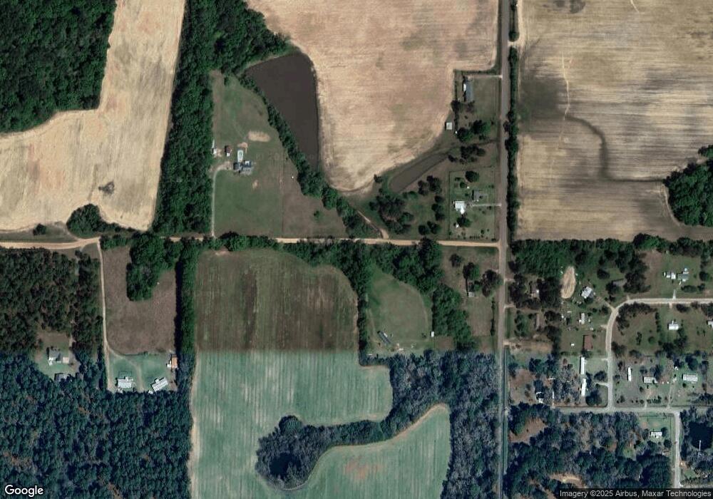
Map
Nearby Homes
- 222 Pebble Hill Cir
- 213 Aspen Ln
- 106 Shady Ln
- 112 Renee Ln
- 0 N County Line Rd
- 1447 Pearson Rd
- 414 Pine Glen Dr
- 128 Airport Rd
- 115 Wynn Dr
- 2730 S County Line Rd
- 144 James Dr
- 5108 Cypress Ave
- 101 Dogwood Ln
- 3001 Treasure Ave
- 0 Blue Springs Rd Unit 138600
- 0 Blue Springs Rd
- 0 Blue Springs Rd Unit 138601
- 3704 Parr Rd
- 3620 Radial Ave
- 3606 Radial Ave
- 165 Barfield Rd
- 0 Barfield Rd Unit 8754252
- 207 Barfield Rd
- 1474 Red Rock Rd
- 150 Barfield Rd
- 1454 Red Rock Rd
- 225 Barfield Rd
- 1475 Red Rock Rd
- 1457 Red Rock Rd
- 819 Woodcrest Rd
- Tract 3 Woodcrest Rd
- Tract 2 Woodcrest Rd
- Tract 1 Woodcrest Rd
- 0 Woodcrest Rd
- 907 Woodcrest Rd
- 735 Woodcrest Rd
- 802 Woodcrest Rd
- 1413 Red Rock Rd
- 750 Woodcrest Rd
- 1404 Red Rock Rd