177 Bay Shore Rd Westport Island, ME 04578
Estimated Value: $746,000 - $1,161,000
3
Beds
--
Bath
2,802
Sq Ft
$331/Sq Ft
Est. Value
About This Home
This home is located at 177 Bay Shore Rd, Westport Island, ME 04578 and is currently estimated at $926,679, approximately $330 per square foot. 177 Bay Shore Rd is a home.
Ownership History
Date
Name
Owned For
Owner Type
Purchase Details
Closed on
Mar 20, 2017
Sold by
Porter Thomas L and Drew Porter D
Bought by
Porter D Drew D and Porter Thomas L
Current Estimated Value
Purchase Details
Closed on
Jul 18, 2016
Sold by
Reeves Charles W and Reeves Judy S
Bought by
Porter Thomas L and Drew Porter D
Create a Home Valuation Report for This Property
The Home Valuation Report is an in-depth analysis detailing your home's value as well as a comparison with similar homes in the area
Home Values in the Area
Average Home Value in this Area
Purchase History
| Date | Buyer | Sale Price | Title Company |
|---|---|---|---|
| Porter D Drew D | -- | -- | |
| Porter D Drew D | -- | -- | |
| Porter Thomas L | -- | -- | |
| Porter Thomas L | -- | -- | |
| Porter D Drew D | -- | -- | |
| Porter Thomas L | -- | -- |
Source: Public Records
Tax History Compared to Growth
Tax History
| Year | Tax Paid | Tax Assessment Tax Assessment Total Assessment is a certain percentage of the fair market value that is determined by local assessors to be the total taxable value of land and additions on the property. | Land | Improvement |
|---|---|---|---|---|
| 2025 | $6,773 | $796,881 | $298,075 | $498,806 |
| 2024 | $5,360 | $724,360 | $270,977 | $453,383 |
| 2023 | $4,303 | $657,006 | $266,868 | $390,138 |
| 2022 | $4,470 | $538,531 | $218,745 | $319,786 |
| 2021 | $4,254 | $538,531 | $218,745 | $319,786 |
| 2020 | $4,362 | $538,531 | $218,745 | $319,786 |
| 2019 | $4,023 | $538,531 | $218,745 | $319,786 |
| 2018 | $3,554 | $538,531 | $218,745 | $319,786 |
| 2016 | $3,710 | $515,263 | $195,477 | $319,786 |
| 2014 | $4,954 | $659,588 | $0 | $0 |
| 2013 | $5,112 | $659,588 | $218,368 | $441,220 |
Source: Public Records
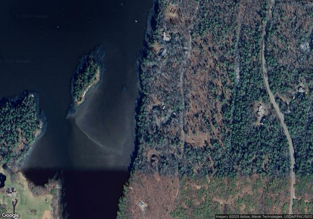
Map
Nearby Homes
- M4 L12.30B McCarty Cove Rd
- 0 Maine 144
- 91 Tree Farm Dr
- 19 Riverside Ave
- 44 Stone Point Ln
- 13 Porcupine Ln
- 23 Sunny Acres Ln
- 284 Hockomock Rd
- 576 Back River Rd
- 712 Back River Rd
- 15 Lewis Dr
- 30 Taylor Rd
- 124 Main Rd
- 44-4 Windrush Ln
- 119 Knubble Bay Rd
- 437 Barley Neck Rd
- Lot 1 Sanders Rd
- 18 High Head Rd
- Lot 4 Fawn Meadow Dr
- Lot 7 Moose Way
- 592 Bay Shore Rd
- 151 Bay Shore Rd
- 137 Bay Shore Rd
- TBD Bay Shore Rd
- 131 Bay Shore Rd
- 197 Bay Shore Rd
- 125 Bay Shore Rd
- 1053 Main Rd
- 204 Bay Shore Rd
- Lot F Bay Shore Rd
- 109 Bay Shore Rd
- 1050 Main Rd
- 101 Bay Shore Rd
- 100 Bay Shore
- Lot24 Main Rd
- 0 Coveside
- 7 Coveside
- Lot C Main Rd
- 12 Sortwell Rd
- 88 Bay Shore Rd