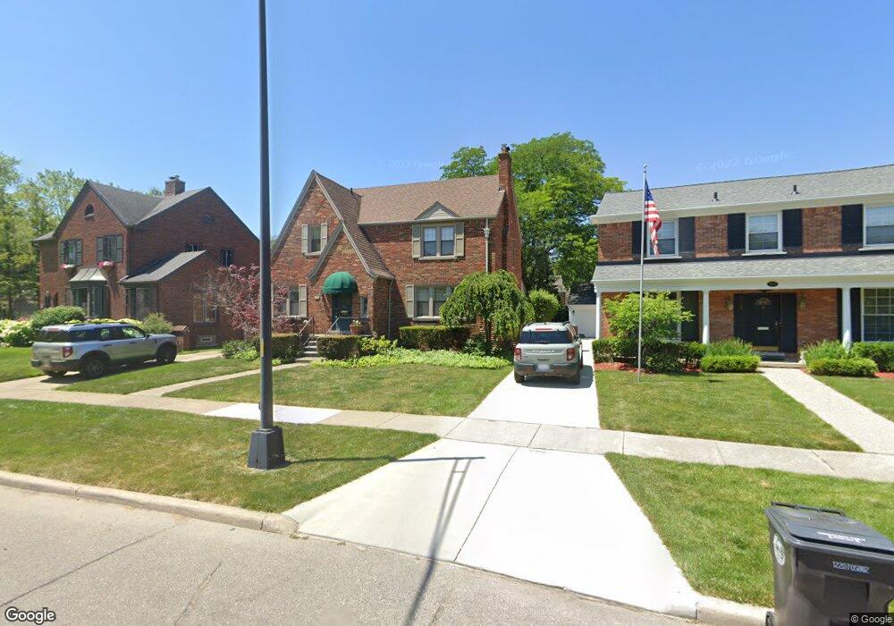
177 Beaupre Ave Grosse Pointe Farms, MI 48236
Estimated Value: $594,000 - $651,000
4
Beds
3
Baths
2,600
Sq Ft
$240/Sq Ft
Est. Value
About This Home
This home is located at 177 Beaupre Ave, Grosse Pointe Farms, MI 48236 and is currently estimated at $624,704, approximately $240 per square foot. 177 Beaupre Ave is a home located in Wayne County with nearby schools including Richard Elementary School, Brownell Middle School, and Grosse Pointe South High School.
Ownership History
Date
Name
Owned For
Owner Type
Purchase Details
Closed on
May 24, 2023
Sold by
White Thomas A and White Melissa M
Bought by
White Thomas A and White Thomas A
Current Estimated Value
Purchase Details
Closed on
Dec 21, 2009
Sold by
Mabley Daneen S and Mabley Daneen Smith
Bought by
White Melissa M
Purchase Details
Closed on
Apr 11, 2003
Sold by
Smith Edward A
Bought by
Smith Edward A
Create a Home Valuation Report for This Property
The Home Valuation Report is an in-depth analysis detailing your home's value as well as a comparison with similar homes in the area
Home Values in the Area
Average Home Value in this Area
Purchase History
| Date | Buyer | Sale Price | Title Company |
|---|---|---|---|
| White Thomas A | -- | None Listed On Document | |
| White Melissa M | $233,000 | Greco | |
| Smith Edward A | -- | Philip F Greco Title Company |
Source: Public Records
Tax History Compared to Growth
Tax History
| Year | Tax Paid | Tax Assessment Tax Assessment Total Assessment is a certain percentage of the fair market value that is determined by local assessors to be the total taxable value of land and additions on the property. | Land | Improvement |
|---|---|---|---|---|
| 2025 | $4,048 | $282,300 | $0 | $0 |
| 2024 | $4,048 | $265,200 | $0 | $0 |
| 2023 | $3,708 | $245,000 | $0 | $0 |
| 2022 | $3,708 | $225,400 | $0 | $0 |
| 2021 | $6,804 | $214,800 | $0 | $0 |
| 2019 | $6,691 | $214,300 | $0 | $0 |
| 2018 | $3,424 | $198,000 | $0 | $0 |
| 2017 | $5,941 | $193,200 | $0 | $0 |
| 2016 | $6,228 | $184,600 | $0 | $0 |
| 2015 | $12,335 | $137,400 | $0 | $0 |
| 2013 | $11,950 | $119,500 | $0 | $0 |
| 2012 | $3,116 | $117,200 | $34,000 | $83,200 |
Source: Public Records
Map
Nearby Homes
- 341 Mcmillan Rd
- 352 Mckinley Ave
- 276 Lewiston Rd
- 317 Mount Vernon Ave
- 314 Mount Vernon Ave
- 302 Mount Vernon Ave
- 343 Mount Vernon Ave
- 827 Fisher Rd
- 380 Merriweather Rd
- 259 Mount Vernon Ave
- 194 Charlevoix Ave
- 876 Washington Rd
- 745 Lincoln Rd
- 240 Mckinley Ave
- 218 Merriweather Rd
- 233 Mcmillan Rd
- 415 Lothrop Rd
- 683 Lincoln Rd
- 975 Fisher Rd
- 216 Ridge Rd
- 175 Beaupre Ave
- 179 Beaupre Ave
- 171 Beaupre Ave
- 322 Mcmillan Rd
- 326 Mcmillan Rd
- 318 Mcmillan Rd
- 328 Mcmillan Rd
- 165 Beaupre Ave
- 332 Mcmillan Rd
- 180 Beaupre Ave
- 314 Mcmillan Rd
- 183 Beaupre Ave
- 290 Kenwood Ct
- 334 Mcmillan Rd
- 159 Beaupre Ave
- 336 Mcmillan Rd
- 286 Kenwood Ct
- 191 Beaupre Ave
- 338 Mcmillan Rd
- 305 Moran Rd